Browse / Malaysia / Perak / Bukit Larut
Bukit Larut
Perakvillage

Bukit Larut
Founded
1884
Demographic figures from Department of Statistics Malaysia. Overview below cites Wikipedia and may reference a different year.
City facts
Facts from Wikidata (CC0).
Overview
Bukit Larut is a hill resort in Malaysia located in the state of Perak, Malaysia, 10 kilometres southwest from Taiping. It was established under the direction of British colonists in 1884 as a place of observation for tin mining activity and as a retreat for the English people who were based in nearby Larut and Taiping. The area was initially named Maxwell Hill after the British Malaya administrator George Maxwell, and was renamed as Bukit Larut in 1979.
Read more on WikipediaHistory & geography
History
Construction of the hill station took place in 1884 and the hill was named after George Maxwell, a British Malaya administrator. The first retreat bungalow, "The Cottage", was set up in 1884 for the Resident-General of Perak. The development was followed by the construction of Tempinis Bungalow (formerly Treacher Bungalow) and Cendana Bungalow (formerly The Hut), in 1880 and 1889, to accommodate visitors of Maxwell Hill. The Tea Garden constructed in 1887 used to be part of a tea plantation estate for Assam Tea prior to its end at an unspecified date. Maxwell Hill was renamed to Bukit Larut in 1979. South Indian laborers and their descendants played a vital role in building and maintaining Bukit Larut (originally known as Maxwell Hill) in Taiping, Perak, since its establishment in 1884 till 1980's. Early generations worked on colonial infrastructure, transport, and tea estates, establishing deep generational roots on the mountain. Sri Maha Kaaliamman Temple, Established in 1890 (also referred to as the Sri Kaliamman Hindu Temple) stands on the slopes. It is recognized as one of the highest and oldest estate temples in the region.
Geography
Bukit Larut is located on the Bintang Range in the northwestern section of Peninsular Malaysia. The area is mountainous where it consists of three peaks, with the highest peak being Gunung Hijau at , followed by Gunung Biong at and Wray's Hill at . Due to the area being steep, it is not suitable for agricultural activities. The agricultural activities that were done in the past, such as tea and coffee planting, are now discontinued. The soil itself consists of granite, alluvium and organic deposits, with a high risk of erosion. Bukit Larut is an important water catchment area. Water quality from the area is generally good and contributes to the water supply in Larut, Matang and Selama District. Water from Bukit Larut mainly flows to three major rivers in the district: Sungai Jana, Sungai Ranting, and Sungai Air Terjun. The temperature at Bukit Larut falls between 15 °C and 25 °C during the daytime, and at night can reach 10 °C. The location receives the highest rainfall in Malaysia, as the precipitation can reach up to annually. Bukit Larut is known as a biodiversity hotspot in Peninsular Malaysia. As of 2000, 621 highland plant species that have been discovered in Bukit Larut, which account for 20.4% of the total highland plant species found in Peninsular Malaysia. Among the most popular plant groups found in Bukit Larut are Dicotyledons (410), Monocotyledons (192), ferns (14) and Gymnosperms (5). As of 1997, the IUCN Red List classified two plants, Dendrobium aegle and Liparis furcate, as vulnerable due to over-exploitation that could lead to potential extinction in the future. In addition, 12 tree species listed in WCMC World List of Threatened Trees are classified as threatened. Various lichens are also found to growing in Bukit Larut, with 22…
Excerpted from the corresponding Wikipedia article (CC BY-SA).
Geography
Coordinates & boundaries from the US Census TIGER/Line shapefiles.
Climate
Air quality
Walkability
Amenities nearby
Wildlife & biodiversity
Earthquake history
Photos
Sights & places nearby
Notable people from here


People born within ~10 km, from Wikidata (CC0). Click any name for their Wikipedia article.
Nearby places in Perak
Geography & sun
Nearby airports
Public attention
Books about this place
Recent natural events nearby
Ground air-quality sensors
Recently spotted species
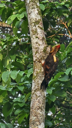
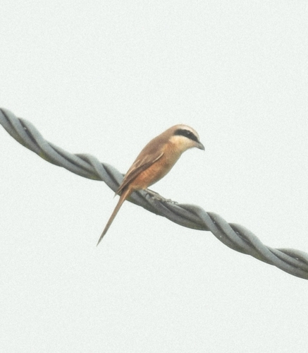
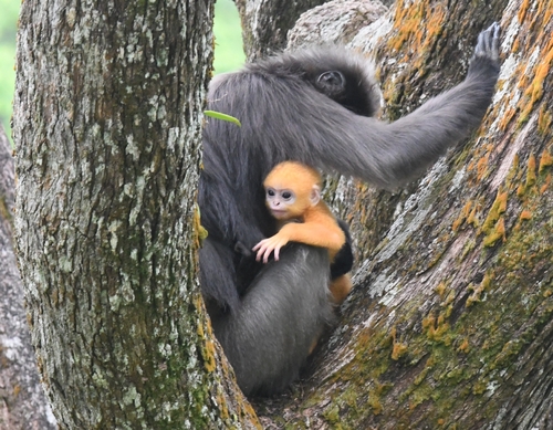
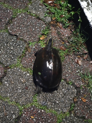
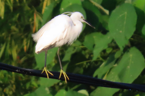
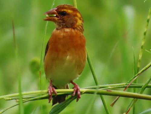
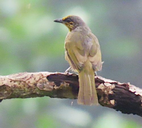
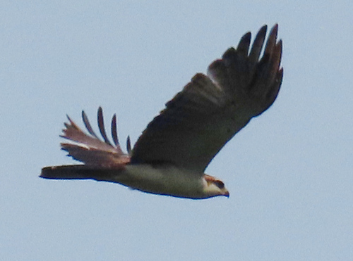
Research-grade observations from iNaturalist (within ~15 mi).
Events
Gallery
Sources
- • Wikipedia
- • Wikidata
- • iNaturalist