Browse / Malaysia / Selangor / Cyberjaya
Cyberjaya
Selangortown

Cyberjaya
Founded
1997
Demographic figures from Department of Statistics Malaysia. Overview below cites Wikipedia and may reference a different year.
City facts
Facts from Wikidata (CC0).
Overview
Cyberjaya is a planned city with a science park as its core that forms part of Greater Kuala Lumpur, in Malaysia. It is located in Sepang District, Selangor. Cyberjaya is adjacent to and developed along with Putrajaya, Malaysia's government seat. The city aspires to be known as the Silicon Valley of Malaysia.
Read more on WikipediaHistory & geography
History
Until 1975, Cyberjaya, along with Putrajaya and Dengkil were under the administration of Hulu Langat district. On the site of today's Cyberjaya once stood an estate, Prang Besar (Great War). The idea of an IT-themed city, Cyberjaya, arose out of a study by management consultancy McKinsey for the Multimedia Super Corridor commissioned by the Federal Government of Malaysia in 1995. The implementation agency was the Town & Country Planning Department of the Ministry of Housing and Local Government. The catalyst was the agreement by NTT in 1996 to site an R&D centre at a site to the west of the new Malaysian administration centre, Putrajaya. [https://mdec.my Multimedia Development Corporation] (MDEC, then known as MDC), the agency overseeing the implementation of the MSC was located in Cyberjaya to oversee the creation. The real estate implementation was privatised to Cyberview Sdn Bhd (Cyberview) in early 1997. At the time, Cyberview was set up a joint-venture comprising entities such as [https://www.setiaharuman.com Setia Haruman Sdn Bhd] (SHSB), Nippon Telephone and Telegraph (NTT), Golden Hope, MDEC, Permodalan Nasional Berhad (PNB) and Kumpulan Darul Ehsan Berhad (KDEB), representative of the Selangor Government. SHSB, a consortium comprising Renong, Landmarks, MKLand and Country Heights, was asked to take the lead regarding the development. Federal government-linked companies Telekom Malaysia and Tenaga Nasional were conscripted to provide the telecommunication and power supply infrastructure. The ambitious plan was to develop the first phase, comprising 1,430 hectares by 2006, with the remaining 1,460 hectares to be developed after the year 2011. The engineering management consultant, Pengurusan Lebuhraya Bhd (now acquired by Opus International Malaysia) was…
Excerpted from the corresponding Wikipedia article (CC BY-SA).
Geography
Coordinates & boundaries from the US Census TIGER/Line shapefiles.
Climate
Air quality
Walkability
Amenities nearby
Wildlife & biodiversity
Earthquake history
Photos
Sights & places nearby
Notable people from here
People born within ~10 km, from Wikidata (CC0). Click any name for their Wikipedia article.
Nearby places in Selangor
Geography & sun
Nearby airports
Public attention
Books about this place
Recent natural events nearby
Ground air-quality sensors
Recently spotted species
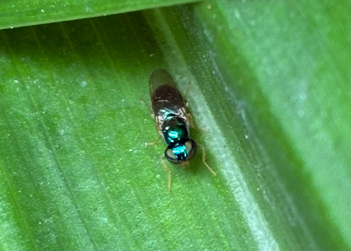
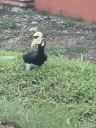
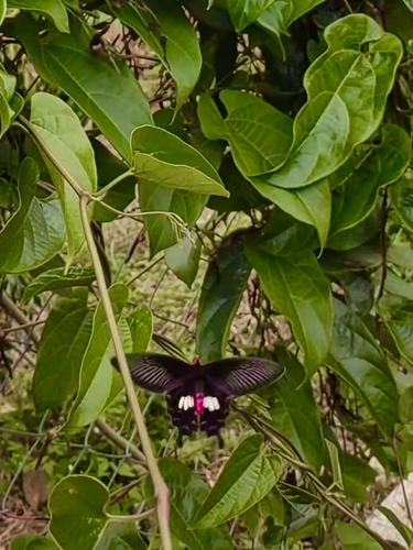
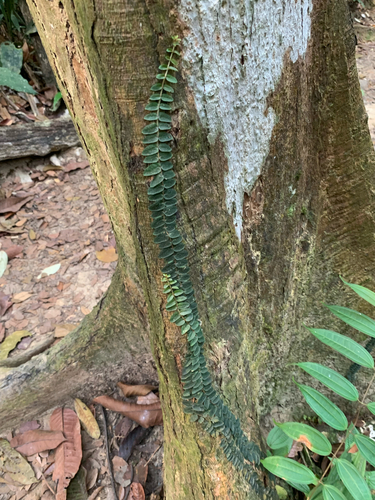
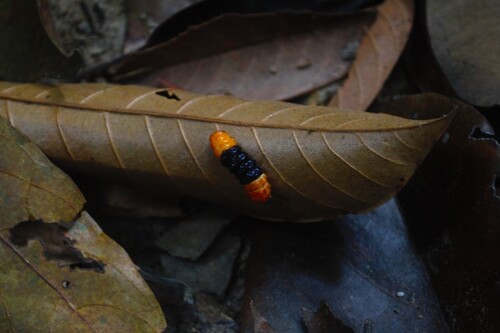
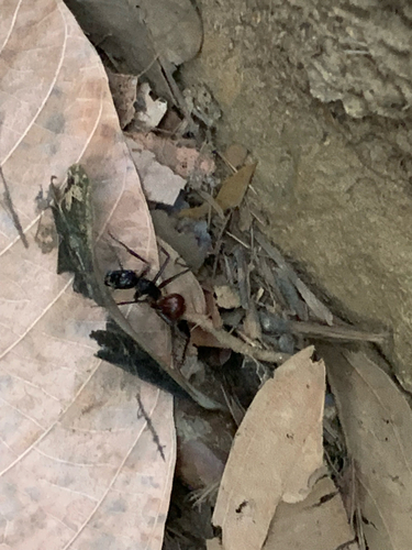
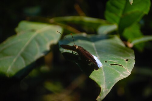
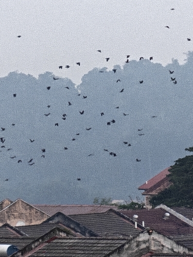
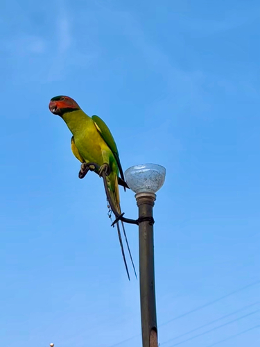
Research-grade observations from iNaturalist (within ~15 mi).
Events
Gallery
Sources
- • Wikipedia
- • Wikidata
- • iNaturalist