Browse / Malaysia / Terengganu / FELDA Chalok Barat
FELDA Chalok Barat
Terengganuvillage
Demographic figures from Department of Statistics Malaysia. Overview below cites Wikipedia and may reference a different year.
City facts
Overview
Set in Terengganu, Malaysia, FELDA Chalok Barat is recorded in open geodata as a village. On the world map it falls within the Eastern Hemisphere, specifically at 5.410°, 102.825°. Detailed population figures are not currently catalogued in the open data sources we track. The latitude suggests hot and humid year-round with little seasonal temperature variation. Open-data panels below dive into population trends, climate normals, environmental indicators and nearby places.
Summary composed automatically from structured open data on this page. See our Terms for details.
History & geography
Geography
Coordinates & boundaries from the US Census TIGER/Line shapefiles.
Climate
Air quality
Walkability
Amenities nearby
Wildlife & biodiversity
Most-observed species
- Crested Serpent-EagleSpilornis cheela (Latham, 1790) · Aves7
- White-throated KingfisherHalcyon smyrnensis (Linnaeus, 1758) · Aves7
- Blue-throated Bee-eaterMerops viridis Linnaeus, 1758 · Aves6
- White-nest SwiftletAerodramus fuciphagus (Thunberg, 1812) · Aves6
- Olive-winged BulbulPycnonotus plumosus Blyth, 1845 · Aves6
- Asian Glossy StarlingAplonis panayensis (Scopoli, 1786) · Aves6
- Yellow-bellied PriniaPrinia flaviventris (Delessert, 1840) · Aves6
- Greater Racket-tailed DrongoDicrurus paradiseus (Linnaeus, 1766) · Aves6
Citizen-science & research observations from the Global Biodiversity Information Facility (GBIF).
Earthquake history
Events from the USGS Earthquake Catalog (global) (FDSN Event Web Service).
Photos
Sights & places nearby
Notable people from here
Nearby places in Terengganu
- Kampung Pak Ba7.9 mi away
- Kampung Bukit Nenas9.3 mi away
- FELDA Belara10.1 mi away
- Batu Rakit14.5 mi away
- Kampung Gelong Gajah15.4 mi away
- Kampung Basung15.6 mi away
- Kampung Dusun Pinang15.9 mi away
- Pulai Baharu16.2 mi away
- Kampung Chapu16.5 mi away
- Kampung Kesom16.6 mi away
- Kampung Pasir Simpul17.1 mi away
- Gong Dato17.3 mi away
Geography & sun
Nearby airports
Public attention
Books about this place
Recent natural events nearby
Ground air-quality sensors
Recently spotted species
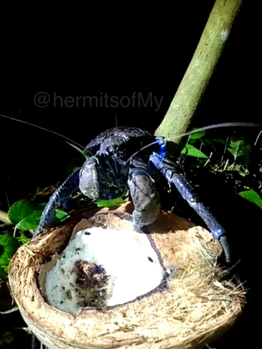
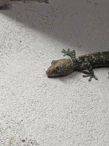
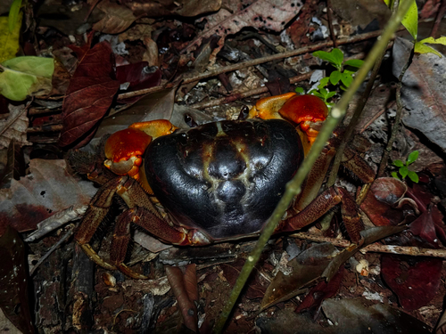
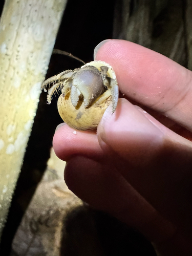
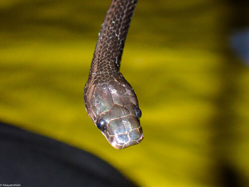
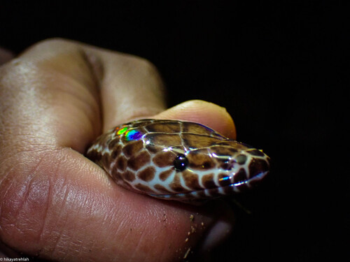
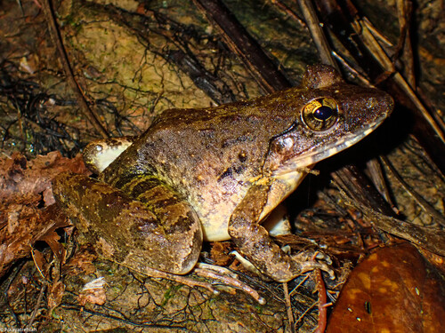
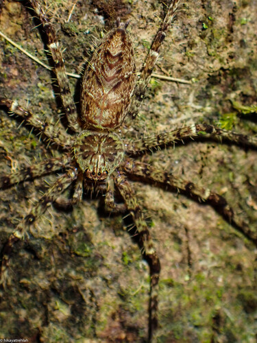
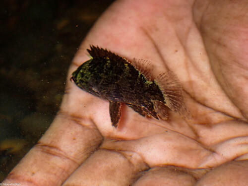
Research-grade observations from iNaturalist (within ~15 mi).
Events
Gallery
Sources
- • Wikidata
- • USGS Earthquake Catalog (global feed)
- • GBIF (Global Biodiversity Information Facility)
- • iNaturalist