Browse / Malaysia / Penang / George Town
George Town
Penangcity

George Town
Total population
794,313
Founded
1786
Demographic figures from Department of Statistics Malaysia. Overview below cites Wikipedia and may reference a different year.
City facts
Facts from Wikidata (CC0).
Overview
George Town is the capital of the Malaysian state of Penang. It is the core city of the George Town Conurbation, Malaysia's second largest metropolitan area with a population of 2.84 million and the second largest metropolitan economy in the country. The city proper spans an area of 306 km2 (118 sq mi) encompassing Penang Island and surrounding islets, and had a population of 794,313 as of 2020.
Read more on WikipediaHistory & geography
History
In 1771, Francis Light, a former Royal Navy captain, was instructed by the British East India Company (EIC) to establish trade relations in the Malay Peninsula. He arrived in Kedah, a Siamese vassal state facing threats from the Bugis of Selangor. Kedah's ruler Sultan Muhammad Jiwa Zainal Adilin II offered Light Penang Island in exchange for British military protection. Light noted the strategic potential of the island as a "convenient magazine for trade" that could enable the British to check Dutch and French territorial ambitions in Southeast Asia, and tried unsuccessfully to persuade his superiors to accept the Sultan's offer. Light was finally authorised to negotiate the British acquisition of Penang Island in 1786. George Town was the first British colonial possession in Southeast Asia and marked the beginning of the gradual British colonisation in Malaya. When Light first landed on the cape, it was densely covered in jungle. After the area was cleared, Light oversaw the construction of Fort Cornwallis, the first structure in the newly established settlement. The first roads of George Town Light, Beach, Chulia and Pitt streets were created in a grid-like configuration. This urban planning method facilitated the easy division, transaction and assessment of land, as well as efficient military deployment. The grid pattern was also replicated in Singapore following the acquisition of the island by Stamford Raffles in 1819. The spice trade allowed the EIC to cover the administrative costs of Penang. The threat of French invasion in the midst of the Napoleonic Wars forced the British to enlarge and reinforce Fort Cornwallis as the garrison for the settlement. However, there were no unified legal systems in place to maintain order in the settlement. Light, who…
Geography
The jurisdiction of George Town covers an area of approximately , encompassing the entirety of Penang Island and nine surrounding islets.}} The Penang Island has an uneven terrain with a mountainous topography down the middle. The island's coastal plains are narrow, with the most extensive plain located at the northeastern cape, where the city centre is situated. The surrounding islets within George Town's jurisdiction are Jerejak, Andaman, Udini, Tikus, Lovers', Betong, Betong Kecil, Kendi and Rimau islands. Penang Hill, with a height of , is the highest point in Penang, serving as a water catchment area and a green lung for the city. As land scarcity is a pressing issue in George Town, land reclamation has been extensively undertaken at high-demand areas, such as at Tanjong Tokong and Bayan Lepas. Between 1960 and 2015, George Town expanded by more than due to land reclamation that altered much of the city's eastern shoreline. Reclamation projects to create Gurney Bay and the nearby mixed-use precinct of Andaman Island are also ongoing. George Town features a tropical rainforest climate, under the Köppen climate classification (Af). Weather forecast in George Town is served by the Penang Meteorological Office at Bayan Lepas, which acts as the primary weather forecast facility for northwestern Peninsular Malaysia. The city experiences relatively consistent temperatures throughout the course of the year, with an average high of about 32 °C and an average low of 24°C. It sees on average about of precipitation annually. Its proximity to the island of Sumatra makes George Town susceptible to dust particles carried by wind from transient forest fires that cause the perennial Southeast Asian haze.
Excerpted from the corresponding Wikipedia article (CC BY-SA).
Geography
Coordinates & boundaries from the US Census TIGER/Line shapefiles.
Climate
Air quality
Walkability
Amenities nearby
Wildlife & biodiversity
Earthquake history
Photos
Sights & places nearby
Notable people from here
Nearby places in Penang
- Balik Pulau7.8 mi away
- Bayan Lepas9.5 mi away · pop. 217,600
- Nibong Tebal19.8 mi away · pop. 183,996
- Siavonga5119.3 mi away · pop. 58,864
- Sianambwe5164.5 mi away
- Daskarite5191.8 mi away
- Vlasatili5192.2 mi away
- Glutnitsite5192.5 mi away
- Belitsa5193.1 mi away
- Armiankovtsi5193.5 mi away
- Stanchov Han5193.6 mi away
- Krastets5193.8 mi away
Geography & sun
Elevation, sunrise/sunset and daylight from Open-Meteo. Solar climatology from NASA POWER.
Nearby airports
Public attention
Pageview totals from the Wikimedia Pageviews API.
Books about George Town

Search results from Open Library.
Recent natural events nearby
Ground air-quality sensors
Recently spotted species

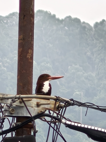
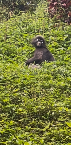
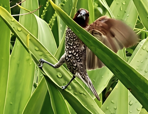
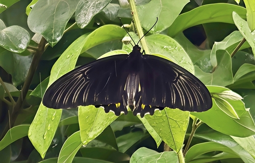


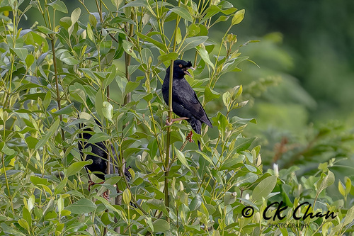
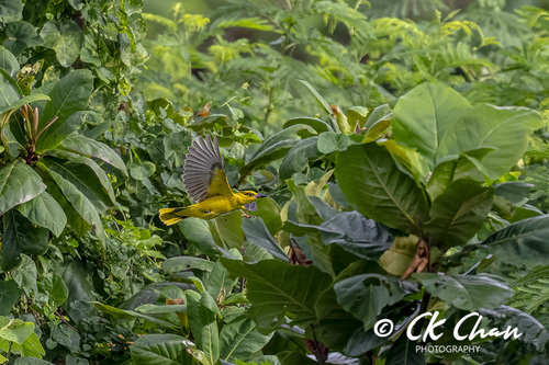
Research-grade observations from iNaturalist (within ~15 mi).
Events
Gallery
Sources
- • Wikipedia
- • Wikidata
- • iNaturalist
- • Open-Meteo / sunrise-sunset.org
- • Wikipedia Pageviews API
- • Open Library