Browse / Malaysia / Perak / Gerik
Gerik
Peraktown

Gerik
Demographic figures from Department of Statistics Malaysia. Overview below cites Wikipedia and may reference a different year.
City facts
Facts from Wikidata (CC0).
Overview
Gerik is a mukim and the district capital of Hulu Perak District, Perak, Malaysia. The town is also known as Rest Town due to its strategic location next to East-West Highway Federal Route 4, the main route linking Kedah, Penang and Kelantan.
Read more on WikipediaHistory & geography
History
According to historical records, the first person to enter Gerik was Tun Saban, the son of Tun Perak, and the treasurer of the Malacca Sultanate in the early 16th century. During the fall of the sultanate to the Portuguese, Tun Saban migrated to Hulu Patani and then moved to Belum, Gerik. He became the chairman of the community at Belum. Gerik is bordered by Reman State to the north. Raja Reman trespassed into Gerik and captured Klian Intan and Kroh (Pengkalan Hulu). By the 19th century, most of Gerik's territory was conquered by King Reman. In 1902, the monarchy in Reman was abolished by the Siamese government and the Gerik region was incorporated as a colony. On 9 July 1902, the Siamese government entered into an agreement with the British government to hand over Kedah, Perlis, Kelantan and Terengganu to British rule. The agreement was signed in Bangkok by Sir John Anderson (Straits Settlements) and the Siam Foreign Secretary. Among the conditions in the agreement, the Siamese government also had to hand over the Gerik district, which had been taken by Raja Reman to the Perak government. The ceremony of handing over the Gerik area was held in Kroh on 16 July 1909.
Excerpted from the corresponding Wikipedia article (CC BY-SA).
Geography
Coordinates & boundaries from the US Census TIGER/Line shapefiles.
Climate
Air quality
Walkability
Amenities nearby
Wildlife & biodiversity
Earthquake history
Photos
Sights & places nearby
Notable people from here

People born within ~10 km, from Wikidata (CC0). Click any name for their Wikipedia article.
Nearby places in Perak
Geography & sun
Nearby airports
Public attention
Books about this place
Recent natural events nearby
Ground air-quality sensors
Recently spotted species
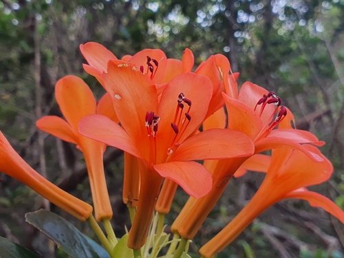
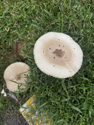
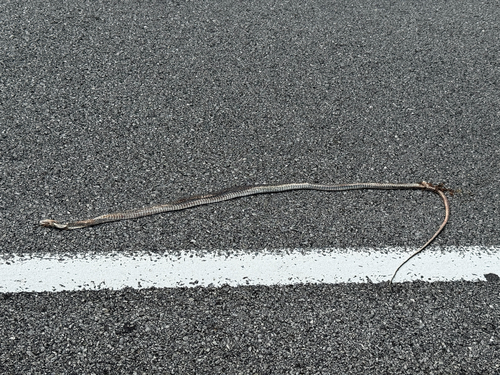
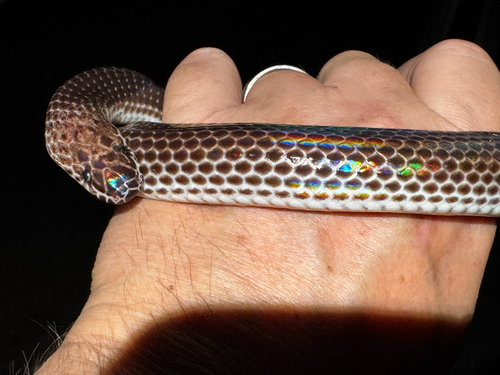
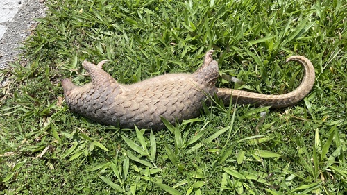
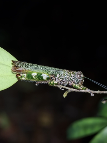
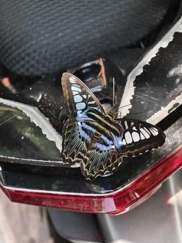
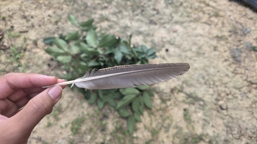
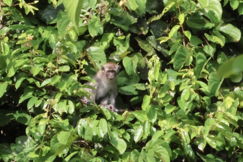
Research-grade observations from iNaturalist (within ~15 mi).
Events
Gallery
Sources
- • Wikipedia
- • Wikidata
- • iNaturalist