Browse / Malaysia / Johor / Iskandar Puteri
Iskandar Puteri
Johorcity

Iskandar Puteri
Total population
575,977
Founded
2009
Demographic figures from Department of Statistics Malaysia. Overview below cites Wikipedia and may reference a different year.
City facts
Facts from Wikidata (CC0).
Overview
Iskandar Puteri is a city and the administrative capital of the state of Johor, Malaysia. It is situated along the Straits of Johor at the southern end of the Malay Peninsula and the southernmost city of continental Eurasia. Together with the adjacent cities of Johor Bahru and Pasir Gudang, it is located within the Johor Bahru District, the second largest district in Malaysia by population. The 15th busiest container port in the world, Port of Tanjung Pelepas, is also located in the city.
Read more on WikipediaHistory & geography
History
Historically, the area surrounding present-day Iskandar Puteri consisted mostly of fishing villages, populated by Malays and Orang Laut tribes. Located on the western side of the Tebrau Strait, the area was once known as Sempit Puteri (narrow princess) as it was facing the narrowest point of the Tebrau Straits. In 1855, when Temenggong Daeng Ibrahim won his claim over the Johor throne, he relocated the capital city of the now-divided kingdom from Telok Blangah (Singapore) to Tanjung Puteri and renamed it Iskandar Puteri. His son Maharaja Abu Bakar, the first Sultan of modern Johor, renamed Tanjung Puteri to Johor Bahru upon his coronation in 1868 to distinguish his dynasty from the old Sultanate of Johor. During Abu Bakar's reign, Jaafar Muhammad was appointed as the first Menteri Besar of Johor. According to a story from Johor Heritage Foundation (), during his journey to Sempit Puteri, the paddle of the sampan that Dato Jaafar was boarding broke. That event gave the place its new name Gelang Patah (broken paddle). As many as eight local councils (majlis tempatan) were set up in the 1950s and 1960s to oversee municipal works in what would become the Johor Bahru Tengah or Central Johor Bahru District then rural areas (not to be confused with Johor Bahru Town Centre, now City Centre, which is also called Central Johor Bahru). The smaller local councils were merged on 1 March 1978 to form the Johor Bahru Tengah District Council (, MDJBT), as the local authority in Johor Bahru District's central rural areas. The former local council areas of Skudai, Lima Kedai, Gelang Patah, Kangkar Pulai and Ulu Choh made up the western part of Johor Bahru Tengah, while that of Ulu Tiram, Plentong and Masai made up the eastern part. Johor Bahru Tengah was granted municipal status in…
Excerpted from the corresponding Wikipedia article (CC BY-SA).
Geography
Coordinates & boundaries from the US Census TIGER/Line shapefiles.
Climate
Air quality
Walkability
Amenities nearby
Wildlife & biodiversity
Earthquake history
Photos
Sights & places nearby
Notable people from here


People born within ~10 km, from Wikidata (CC0). Click any name for their Wikipedia article.
Nearby places in Johor
Geography & sun
Elevation, sunrise/sunset and daylight from Open-Meteo. Solar climatology from NASA POWER.
Nearby airports
Public attention
Pageview totals from the Wikimedia Pageviews API.
Books about this place
Recent natural events nearby
Ground air-quality sensors
Recently spotted species




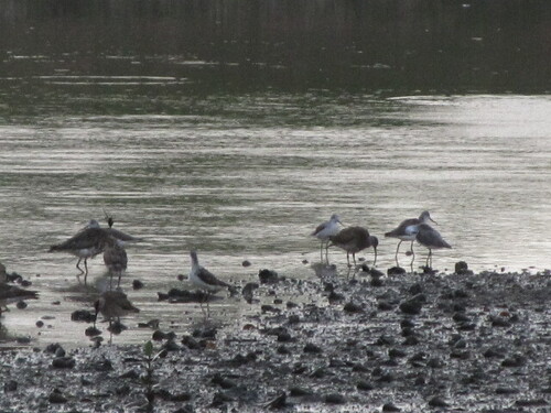

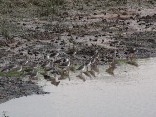
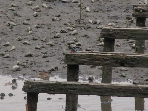

Research-grade observations from iNaturalist (within ~15 mi).
Events
Gallery
Sources
- • Wikipedia
- • Wikidata
- • iNaturalist
- • Open-Meteo / sunrise-sunset.org
- • Wikipedia Pageviews API