Browse / Malaysia / Johor / Johor Bahru
Johor Bahru
Johorcity

Johor Bahru
Total population
858,118
Founded
1855
Air quality index
Demographic figures from Department of Statistics Malaysia. Overview below cites Wikipedia and may reference a different year.
City facts
Facts from Wikidata (CC0).
Overview
Johor Bahru (JB) is the capital city of the Malaysian state of Johor. It is the core city of Johor Bahru District, Malaysia's second-largest district by population and economy. For the city proper, Johor Bahru had a population of 858,118 in 2020, making it Malaysia's largest state capital city by population. It is located at the southern end of the Malay Peninsula, bordering the city-state of Singapore.
Read more on WikipediaHistory & geography
History
Due to a dispute between the Malays and the Bugis, the Johor-Riau Sultanate was split in 1819 with the mainland portion of the Johor Sultanate coming under the control of Temenggong Daeng Ibrahim while the Riau-Lingga Sultanate came under the control of the Bugis. The Temenggong intended to create a new administration centre for the Johor Sultanate to create a dynasty under the entity of Temenggong. As the Temenggong already had a close relationship with the British and the British intended to have control over trade activities in Singapore, a treaty was signed between Sultan Ali and Temenggong Ibrahim in Singapore on 10 March 1855. According to the treaty, Ali would be crowned as the Sultan of Johor and receive $5,000 (in Spanish dollars) with an allowance of $500 per month. In return, Ali was required to cede the sovereignty of the territory of Johor (except Kesang of Muar which would be the only territory under his control) to Temenggong Ibrahim. The Chinese planted the area with black pepper and gambier, while the Javanese dug parit (canals) to drain water from the land, build roads and plant coconuts. During this time, a Chinese businessman, pepper and gambier cultivator, Wong Ah Fook arrived; at the same time, the Kangchu and Javanese labour contract systems were introduced by the Chinese and Javanese communities. After Temenggong's death on 31 January 1862, the town was renamed "Johor Bahru" and his position was succeeded by his son, Abu Bakar, with the administration centre in Telok Blangah being moved to the area in 1889. He managed to regain Kesang territory for Johor after a civil war with the aid of British forces and he boosted the town's infrastructure and agricultural economy. Infrastructure such as the State Mosque and Royal Palace was built with the…
Geography
Johor Bahru is located along the Straits of Johor at the southern end of Peninsular Malaysia with mostly flat landscape, save for some hills dotted around the city area. The wettest months, with 19 to 25 per cent more rain than average, are April, November and December. Although the climate is relatively uniform, it does show some seasonal variation due to the effects of monsoons, with noticeable changes in wind speed and direction, cloud cover and amount of rainfall. There are two monsoon periods each year, the first one between mid-October and January, which is the north-east Monsoon. This period is characterised by heavier rainfall and wind from the north-east. The second one is the south-west Monsoon, which hardly affects the rainfall in Johor Bahru, where winds are from the south and south-west. This occurs between June and September. Johor Bahru is a largely suburban city, which has considerable urban sprawl and a high degree of car dependency. The state government has acknowledged the high degree of traffic congestion within the city, and has been making plans for the implementation of a Light Rail Transit (LRT) or Bus Rapid Transit (BRT) system since at least 2017. As of 2024, the state government is commencing plans to construct an elevated Autonomous Rail Rapid Transit (ART) network in the city.
Excerpted from the corresponding Wikipedia article (CC BY-SA).
Geography
Coordinates & boundaries from the US Census TIGER/Line shapefiles.
Climate
10-year averages from ERA5 reanalysis (Open-Meteo).
Air quality
Current readings from Open-Meteo Air Quality API (Copernicus CAMS European reanalysis).
Walkability
Amenities nearby
Wildlife & biodiversity
Most-observed species
- Javan MynaAcridotheres javanicus Cabanis, 1851 · Aves23,975
- Yellow-vented BulbulPycnonotus goiavier (Scopoli, 1786) · Aves21,229
- Black-naped OrioleOriolus chinensis Linnaeus, 1766 · Aves18,708
- Pink-necked PigeonTreron vernans (Linnaeus, 1771) · Aves18,527
- Spotted DoveSpilopelia chinensis (Scopoli, 1786) · Aves17,616
- Asian Glossy StarlingAplonis panayensis (Scopoli, 1786) · Aves16,962
- Red JunglefowlGallus gallus (Linnaeus, 1758) · Aves15,208
- White-breasted WaterhenAmaurornis phoenicurus (Pennant, 1769) · Aves14,890
Citizen-science & research observations from the Global Biodiversity Information Facility (GBIF).
Earthquake history
Events from the USGS Earthquake Catalog (global) (FDSN Event Web Service).
Photos
Sights & places nearby
Notable people from here


People born within ~10 km, from Wikidata (CC0). Click any name for their Wikipedia article.
Nearby places in Johor
Geography & sun
Elevation, sunrise/sunset and daylight from Open-Meteo. Solar climatology from NASA POWER.
Nearby airports
Public attention
Pageview totals from the Wikimedia Pageviews API.
Books about Johor Bahru
Search results from Open Library.
Recent natural events nearby
Ground air-quality sensors
Recently spotted species
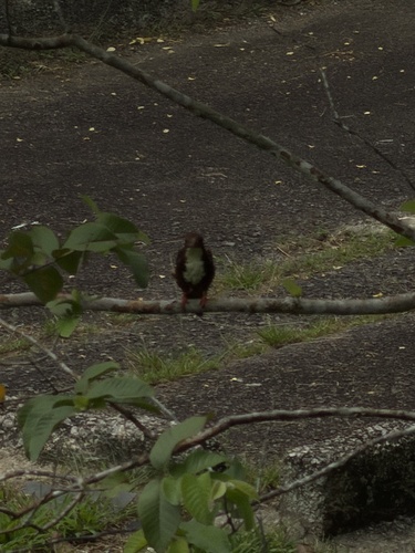
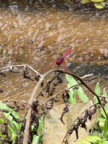
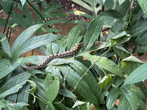
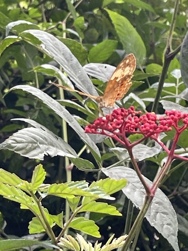
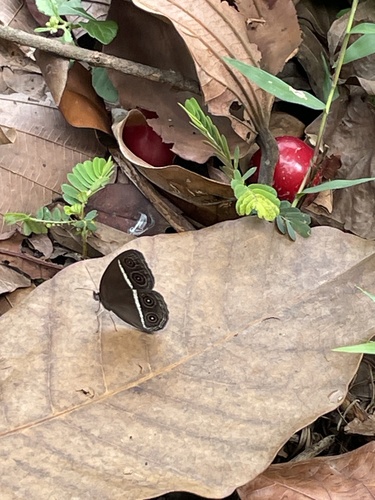
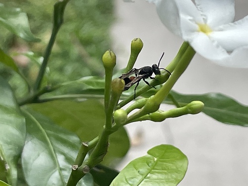
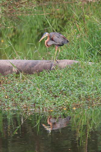
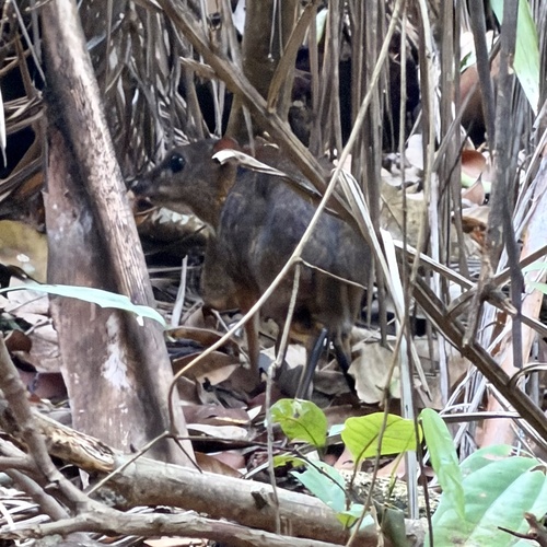
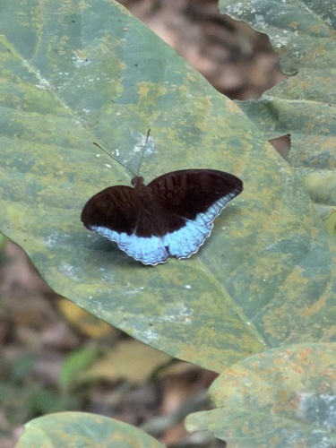
Research-grade observations from iNaturalist (within ~15 mi).
Events
Gallery
Sources
- • Wikipedia
- • Open-Meteo (ERA5 reanalysis)
- • Wikidata
- • Open-Meteo Air Quality (CAMS)
- • USGS Earthquake Catalog (global feed)
- • GBIF (Global Biodiversity Information Facility)
- • iNaturalist
- • Open-Meteo / sunrise-sunset.org
- • Wikipedia Pageviews API
- • Open Library