Browse / Malaysia / Terengganu / Kampung Alor Keladi
Kampung Alor Keladi
Terengganuvillage
Demographic figures from Department of Statistics Malaysia. Overview below cites Wikipedia and may reference a different year.
City facts
Overview
Kampung Alor Keladi is a village that lies in Terengganu, Malaysia. Coordinates of 5.703°, 102.488° situate Kampung Alor Keladi in the equatorial zone of the northern hemisphere. No reliable population estimate is published for this entry in the open data we rely on. Based on its equatorial position, residents likely encounter hot and humid year-round with little seasonal temperature variation. Detailed open-data panels follow, covering demographics, climate, geography, wildlife and nearby settlements.
Summary composed automatically from structured open data on this page. See our Terms for details.
History & geography
Geography
Coordinates & boundaries from the US Census TIGER/Line shapefiles.
Climate
Air quality
Walkability
Amenities nearby
Wildlife & biodiversity
Earthquake history
Photos
Sights & places nearby
Notable people from here

People born within ~10 km, from Wikidata (CC0). Click any name for their Wikipedia article.
Nearby places in Terengganu
- Kampung Mak Sara2.5 mi away
- Bukit Kenak3.1 mi away
- Kampung Apal3.6 mi away
- Kampung Gong Nangka3.7 mi away
- Kampung Gong Lilit4 mi away
- Kampung Batang Gergaji4.6 mi away
- Kampung Alor Lintah5 mi away
- Kuala Besut9.8 mi away · pop. 152,800
- Sari Tembila11 mi away
- Kampung Beting Lintang12.4 mi away
- Kampung Penarik23.6 mi away
- Batu Rakit40.7 mi away
Geography & sun
Nearby airports
Public attention
Books about this place
Recent natural events nearby
Ground air-quality sensors
Recently spotted species

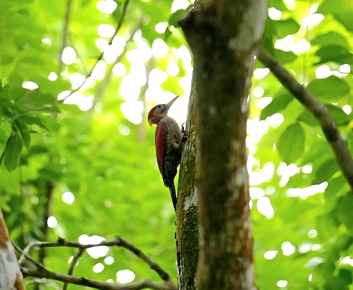

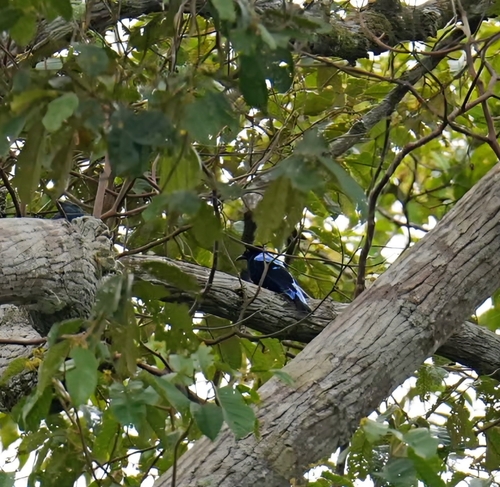

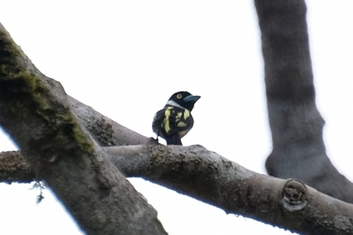


Research-grade observations from iNaturalist (within ~15 mi).
Events
Gallery
Sources
- • Wikidata
- • iNaturalist