Browse / Malaysia / Perlis / Kangar
Kangar
Perliscity

Kangar
Total population
284,853
Founded
1897
Demographic figures from Department of Statistics Malaysia. Overview below cites Wikipedia and may reference a different year.
City facts
Facts from Wikidata (CC0).
Overview
Kangar is the state capital and the largest town in Perlis, Malaysia. It has a population of 48,898 and an area of 2,619.4 ha. It is located next to the Thailand border, in the northernmost point of Peninsular Malaysia. It is situated by the Perlis River.
Read more on WikipediaHistory & geography
History
Kangar existed from about 350 years ago, that is since 1653 when Kota Sena was built as the administrative centre for the 14th Sultan of Kedah, Sultan Muhyiddin Mansor Shah. Kangar was then a land port or pengkalan where boats and tongkangs anchor at the confluence of Perlis River, which runs through Kangar town to Kuala Perlis. The name Kangar was derived from a type of tree. It was here at the port that trading was done, under a big tree that gave shade and respite to the traders. This tree that became a "witness" to many business deals was called Pohon Kangar. Every trader and merchant who came and went to this place began calling it the Pohon Kangar Port, in honour of the tree.
Excerpted from the corresponding Wikipedia article (CC BY-SA).
Geography
Coordinates & boundaries from the US Census TIGER/Line shapefiles.
Climate
Air quality
Walkability
Amenities nearby
Wildlife & biodiversity
Earthquake history
Photos
Sights & places nearby
Notable people from here


People born within ~10 km, from Wikidata (CC0). Click any name for their Wikipedia article.
Nearby places in Perlis
Geography & sun
Elevation, sunrise/sunset and daylight from Open-Meteo. Solar climatology from NASA POWER.
Nearby airports
Public attention
Pageview totals from the Wikimedia Pageviews API.
Books about Kangar
Search results from Open Library.
Recent natural events nearby
Ground air-quality sensors
Recently spotted species
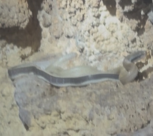
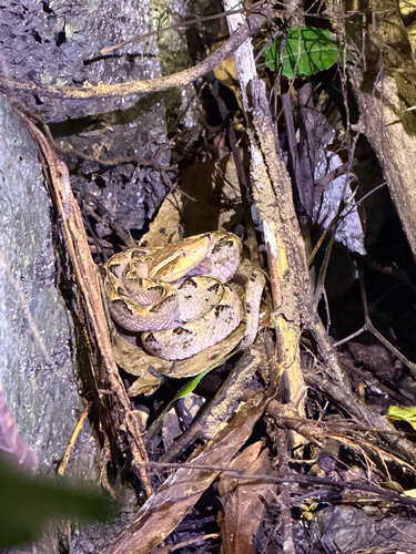
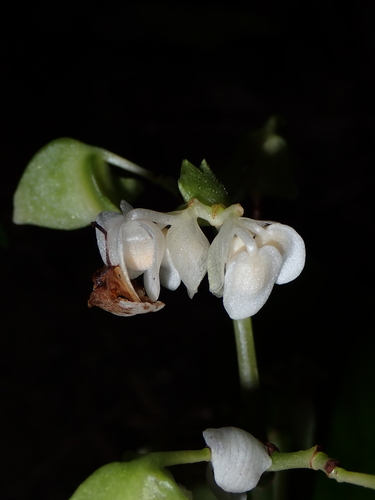
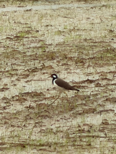
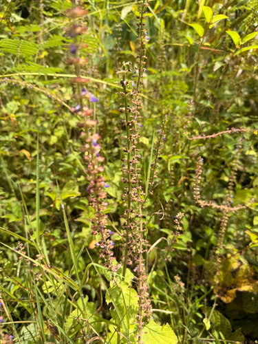
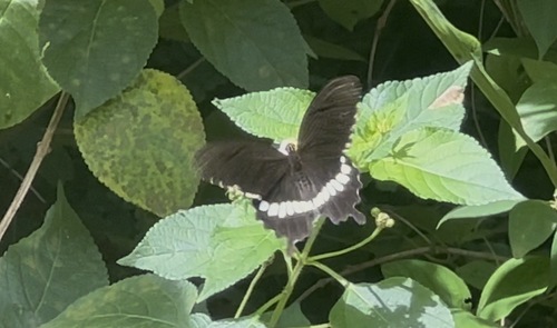
Research-grade observations from iNaturalist (within ~15 mi).
Events
Gallery
Sources
- • Wikipedia
- • Wikidata
- • iNaturalist
- • Open-Meteo / sunrise-sunset.org
- • Wikipedia Pageviews API
- • Open Library