Browse / Malaysia / Sarawak / Kapit
Kapit
Sarawakcity

Kapit
Total population
78,648
Demographic figures from Department of Statistics Malaysia. Overview below cites Wikipedia and may reference a different year.
City facts
Overview
Kapit is a town and the capital of Kapit District in Kapit Division, Sarawak, Malaysia on the south bank of the Rajang River. The district comprises 15,595.6 square kilometres and as of 2020, it has a population of 65,800.
Read more on WikipediaHistory & geography
History
During the reign of Rajah Charles Brooke, a "Fort Kapit" was built in Kapit in 1880 to prevent the Iban from migrating up-river and attacking Orang Ulu settlements. In 1924, a peace treaty was signed between the Iban and the Orang Ulu people at Fort Kapit, thus ending the hostilities between the two tribes permanently. before the Cobbold Commission came to Kapit to assess the people's sentiment there. The meeting produced 13 resolutions that agreed to the formation of Malaysia as long as the resolutions were fulfilled. Kapit was upgraded into a division on 2 April 1973.
Geography
Kapit is located 140 km upriver from Sibu along the Rajang River.
Excerpted from the corresponding Wikipedia article (CC BY-SA).
Geography
Coordinates & boundaries from the US Census TIGER/Line shapefiles.
Climate
Air quality
Walkability
Amenities nearby
Wildlife & biodiversity
Earthquake history
Photos
Sights & places nearby
Notable people from here

People born within ~10 km, from Wikidata (CC0). Click any name for their Wikipedia article.
Nearby places in Sarawak
- Luban Ili105.6 mi away · pop. 100
- Bebuling Tapang106.7 mi away · pop. 100
- Kampung Kedang114.7 mi away · pop. 200
- Kampung Pruan115.8 mi away · pop. 1,000
- Kampung STC115.9 mi away · pop. 300
- Skra Ulu116.1 mi away · pop. 150
- Putat116.2 mi away · pop. 150
- Kampung Paputan Baru116.4 mi away · pop. 100
- Kampung Skra Ili116.5 mi away · pop. 100
- Kampung Melayu Pangkat118.1 mi away · pop. 300
- Gran Limu118.6 mi away · pop. 150
- Tanjung Aboi Benam Batu126.8 mi away · pop. 200
Geography & sun
Elevation, sunrise/sunset and daylight from Open-Meteo. Solar climatology from NASA POWER.
Nearby airports
Public attention
Pageview totals from the Wikimedia Pageviews API.
Books about this place
Recent natural events nearby
Ground air-quality sensors
Recently spotted species
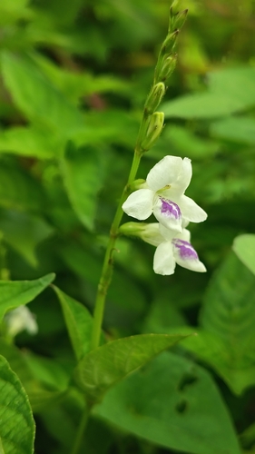
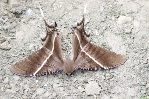
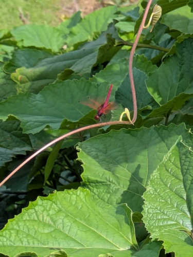
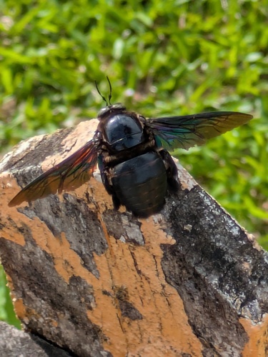
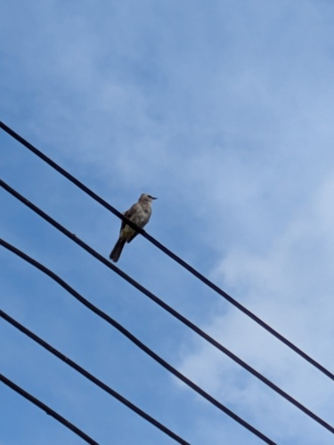
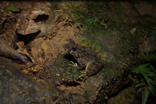
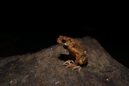
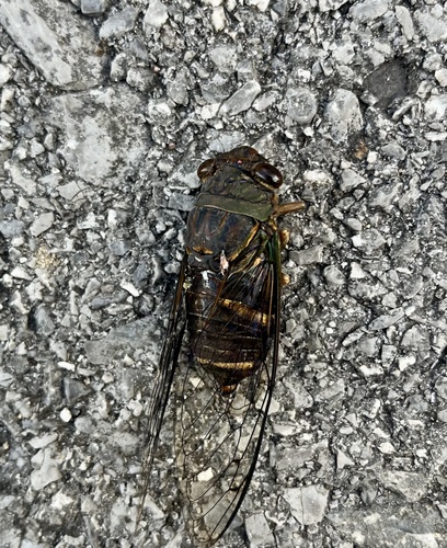
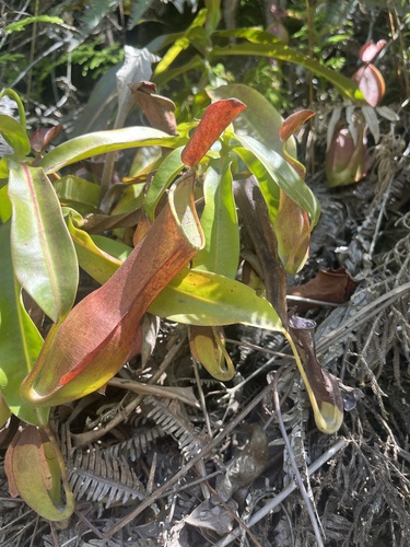
Research-grade observations from iNaturalist (within ~15 mi).
Events
Gallery
Sources
- • Wikipedia
- • Wikidata
- • iNaturalist
- • Open-Meteo / sunrise-sunset.org
- • Wikipedia Pageviews API