Browse / Malaysia / Sabah / Kayu Putih Village
Kayu Putih Village
Sabahvillage
Demographic figures from Department of Statistics Malaysia. Overview below cites Wikipedia and may reference a different year.
City facts
Overview
Found in Sabah, Malaysia, Kayu Putih Village is classified as a village in public datasets. On the world map it falls within the Eastern Hemisphere, specifically at 6.464°, 116.488°. Up-to-date population figures for this locality are not available in the open datasets we monitor. Based on its equatorial position, residents likely encounter hot and humid year-round with little seasonal temperature variation. The remainder of this page draws on open public data to describe the area's demographics, climate, environment and nearby amenities.
Summary composed automatically from structured open data on this page. See our Terms for details.
History & geography
Geography
Coordinates & boundaries from the US Census TIGER/Line shapefiles.
Climate
Air quality
Walkability
Amenities nearby
Wildlife & biodiversity
Most-observed species
- Spotted doveSpilopelia chinensis (Scopoli, 1786) · Aves281
- Little Egret/Western Reef-HeronEgretta garzetta (Linnaeus, 1766) · Aves258
- Great EgretArdea alba Linnaeus, 1758 · Aves258
- Zebra DoveGeopelia striata (Linnaeus, 1766) · Aves257
- Yellow-vented BulbulPycnonotus goiavier (Scopoli, 1786) · Aves225
- Chestnut MuniaLonchura atricapilla (Vieillot, 1807) · Aves225
- Whiskered TernChlidonias hybrida (Pallas, 1811) · Aves214
- Common SandpiperActitis hypoleucos (Linnaeus, 1758) · Aves213
Citizen-science & research observations from the Global Biodiversity Information Facility (GBIF).
Earthquake history
Most recent
- M 7.1 — 2026-02-2257 km NNW of Kota Belud, Malaysia
- M 4.3 — 2025-07-2226 km SSW of Kudat, Malaysia
- M 5.5 — 2023-04-0256 km NNW of Kota Kinabalu, Malaysia
- M 4.9 — 2020-06-3048 km W of Kudat, Malaysia
- M 4.5 — 2019-08-0368 km ENE of Ranau, Malaysia
- M 5.2 — 2018-03-0816 km NNW of Ranau, Malaysia
Events from the USGS Earthquake Catalog (global) (FDSN Event Web Service).
Photos
Sights & places nearby
Notable people from here
Nearby places in Sabah
- Kampung Kukut6 mi away
- Kampung Pengkalan Peturu14.1 mi away
- Langkon15.5 mi away
- Bintasan Village16.7 mi away
- Kampung Taginambor17.8 mi away
- Tenghilan Village18.4 mi away
- Marimbau Village21.6 mi away
- Bukah23.5 mi away
- Talas24.4 mi away
- Kampung Tanjung Batu Laut26.6 mi away
- Nangka30.8 mi away
- Sikuati33.4 mi away
Geography & sun
Nearby airports
Public attention
Books about this place
Recent natural events nearby
Ground air-quality sensors
Recently spotted species
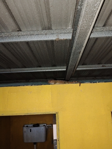
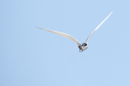
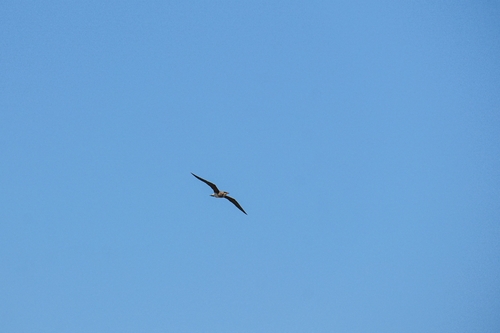
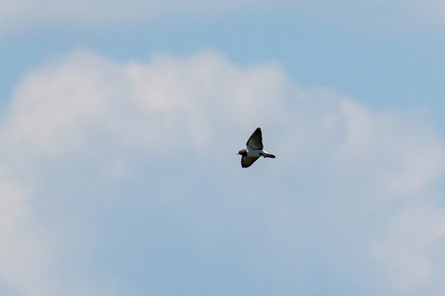
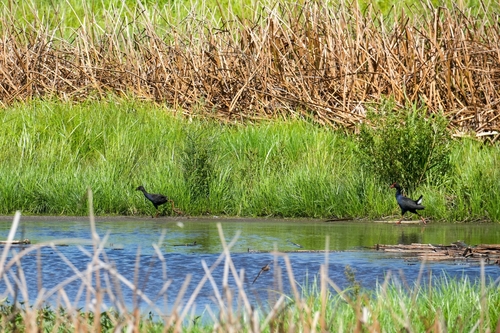
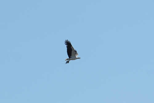
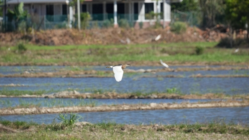
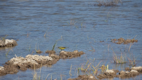
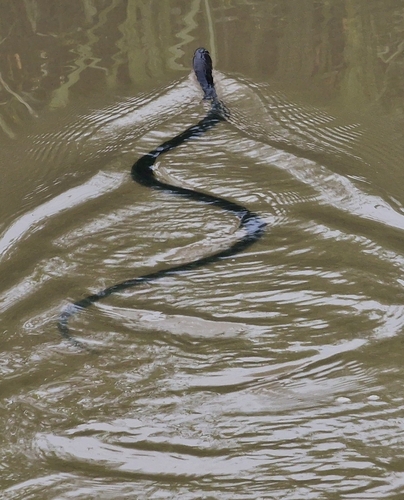
Research-grade observations from iNaturalist (within ~15 mi).
Events
Gallery
Geotagged photos within ~6 miles of Kayu Putih Village, from Wikimedia Commons contributors.


Photos via Wikimedia Commons — see each image page for license & attribution.
Sources
- • Wikimedia Commons
- • Wikidata
- • USGS Earthquake Catalog (global feed)
- • GBIF (Global Biodiversity Information Facility)
- • iNaturalist