Browse / Malaysia / Terengganu / Kemaman
Kemaman
Terengganucity

Kemaman
Total population
327,547
Founded
2006
Demographic figures from Department of Statistics Malaysia. Overview below cites Wikipedia and may reference a different year.
City facts
Facts from Wikidata (CC0).
Overview
Kemaman is a district in Terengganu, Malaysia. Kemaman District is bordered by Dungun District to the north and the state of Pahang to the south and west. It is the southern gateway to the state of Terengganu.
Read more on WikipediaHistory & geography
History
According to early history, Kemaman was started to be known since the second century BC by the name of Kole. This is based on the map of the Golden Chersonese which has been drawn by Ptolemy (a Greek astronomer and geographer, born in Egypt in the second century BC) noting that there were two ports in the East Coast, Perimula and Kole. Historians agreed that Perimula was the Terengganu River estuary (present-day Kuala Terengganu) and Kole was Kemaman. In spite of that, the history of the opening of this district is still vague as there is no written account and valid evidence about it. Anyway, local historian agreed that the district has begun to be explored about 300 years ago by Che Wan Teh and his followers. Che Wan Teh was from a noble Pahang family who migrated to this district from Kuala Pahang following a disorder and chaos situation in Kuala Pahang. He then set up a settlement in the coastal area and the first village found was Bukit Mengkuang Before the Malays came, the district (this particular area) was occupied by the Sakais who then moved to the inland area. After sometimes in Bukit Mengkuang, Che Wan Teh moved to a new settlement area adjacent to Kemaman River estuary known as Tanjung Geliga. This new settlement was also unsecured as it was often disturbed by pirates and robbers threat. As a result, Che Wan Teh and his followers moved to another new area on the bank of Kemaman River (about 3 kilometers from Tanjung Geliga). This place was later known as Chukai. This event is strongly proved by existence of an old cemetery in the area. It was said that Che Wan Teh died shortly after opening Kampung Chukai. His followers and generations after him continuously explored new areas following the rise in population and the need for new agricultural areas.…
Geography
The geographical features of this district can be divided into three main areas which include coastal area, inland area and the foothill area (located only a few kilometres from the beach). The coastal area is a flat lowland with the majority of the people focus on fishing activities. This area stretches about 38 kilometres from Kuala Kemaman to Kerteh. More than half of Kemaman's population is concentrated in this area. The inland area of the district is a region of highlands with hilly features. This area is rich with tin ore, oil palm plantation and timber. So, the concentration of population here is related to local economic activities. The foothill area is the second highest populated area. The area is located between the coastal and the inland areas. The main occupation of the residents in this area is farming.
Excerpted from the corresponding Wikipedia article (CC BY-SA).
Geography
Coordinates & boundaries from the US Census TIGER/Line shapefiles.
Climate
Air quality
Walkability
Amenities nearby
Wildlife & biodiversity
Earthquake history
Photos
Sights & places nearby
Notable people from here


People born within ~10 km, from Wikidata (CC0). Click any name for their Wikipedia article.
Nearby places in Terengganu
- Kampung Kuala Kemaman1.3 mi away
- Kampung Payoh10.1 mi away
- Taman Mawardah Housing10.3 mi away
- Pasir Belaram11.6 mi away
- Kampung Dadong13.9 mi away
- Kampung Pengkalan Ranggon21.8 mi away
- Kampung Batu Putih23.2 mi away
- Dungun36.6 mi away · pop. 158,128
- Kampung Paya Kemudi40.4 mi away
- Kampung Pinang40.4 mi away
- Kampung Pinang Baru41.4 mi away
- Rantau Abang44 mi away
Geography & sun
Elevation, sunrise/sunset and daylight from Open-Meteo. Solar climatology from NASA POWER.
Nearby airports
Public attention
Pageview totals from the Wikimedia Pageviews API.
Books about Kemaman
Search results from Open Library.
Recent natural events nearby
Ground air-quality sensors
Recently spotted species
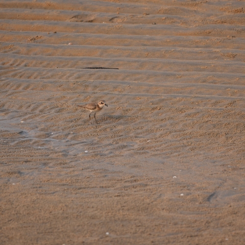
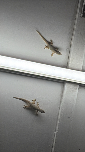
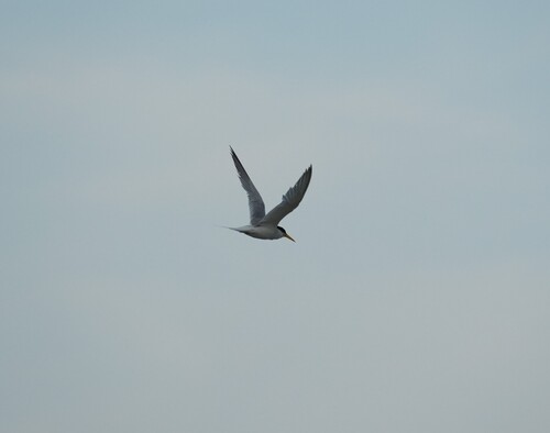
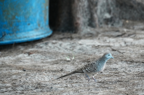
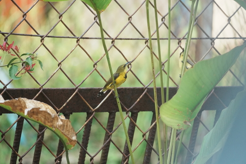
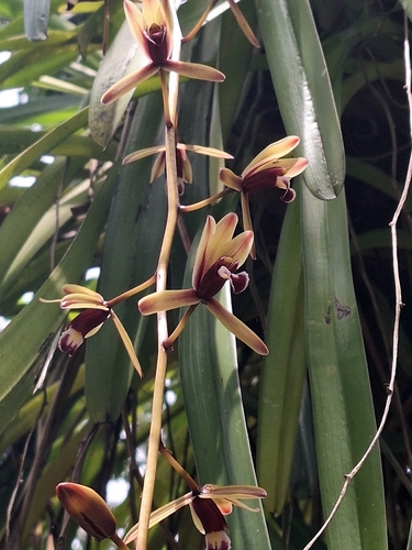
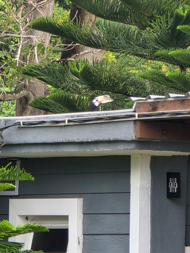
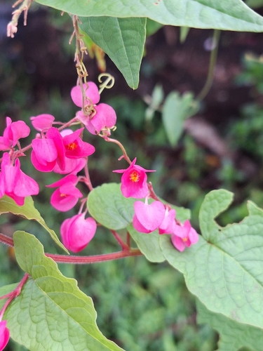
Research-grade observations from iNaturalist (within ~15 mi).
Events
Gallery
Sources
- • Wikipedia
- • Wikidata
- • iNaturalist
- • Open-Meteo / sunrise-sunset.org
- • Wikipedia Pageviews API
- • Open Library