Browse / Malaysia / Sabah / Kg Dagat Lama
Kg Dagat Lama
Sabahvillage
Demographic figures from Department of Statistics Malaysia. Overview below cites Wikipedia and may reference a different year.
City facts
Overview
Within Sabah, Malaysia, Kg Dagat Lama stands as a village. Up-to-date population figures for this locality are not available in the open datasets we monitor. Geographically it lies in the northern hemisphere at a equatorial latitude (5.367°, 118.775°). Open solar datasets indicate about 1,830 kWh/m² of solar irradiance per year, combined with sunshine for roughly 72% of daylight hours. Based on its equatorial position, residents likely encounter hot and humid year-round with little seasonal temperature variation. Read on for charts and tables covering demographics, climate, hazards, schools, wildlife and other open-data indicators for Kg Dagat Lama.
Summary composed automatically from structured open data on this page. See our Terms for details.
History & geography
Geography
Coordinates & boundaries from the US Census TIGER/Line shapefiles.
Climate
Air quality
Walkability
Amenities nearby
Wildlife & biodiversity
Most-observed species
- Rhinoceros HornbillBuceros rhinoceros Linnaeus, 1758 · Aves497
- Crested Serpent-EagleSpilornis cheela (Latham, 1790) · Aves437
- Green Imperial-PigeonDucula aenea (Linnaeus, 1766) · Aves419
- Oriental Pied-HornbillAnthracoceros albirostris (Shaw, 1808) · Aves391
- Plume-toed SwiftletCollocalia affinis Beavan, 1867 · Aves334
- Dusky MuniaLonchura fuscans (Cassin, 1852) · Aves314
- Blue-throated Bee-eaterMerops viridis Linnaeus, 1758 · Aves310
- Slender-billed CrowCorvus enca (Horsfield, 1821) · Aves301
Citizen-science & research observations from the Global Biodiversity Information Facility (GBIF).
Earthquake history
Most recent
- M 5 — 2026-10-0651 km NNE of Semporna, Malaysia
- M 4.2 — 2020-04-1436 km ESE of Lahad Datu, Malaysia
- M 4.6 — 2017-03-2650 km E of Lahad Datu, Malaysia
- M 4.1 — 2016-03-0416 km SE of Lahad Datu, Malaysia
- M 4.1 — 2015-03-1964 km ESE of Sandakan, Malaysia
- M 4.3 — 2014-09-0534 km WNW of Semporna, Malaysia
Events from the USGS Earthquake Catalog (global) (FDSN Event Web Service).
Photos
Sights & places nearby
Notable people from here
Nearby places in Sabah
- Simpang Tiga35.3 mi away · pop. 60
- Sandakan55.9 mi away · pop. 439,050
- Kampung Batu Puteh.57.4 mi away
- Sapi Rock58.6 mi away
- Bahagia Village59.2 mi away
- Kampung Kasnuri60.1 mi away
- Kampung Lot M67.7 mi away
- Kg. Gum Gum69.1 mi away
- Segaliud70.3 mi away
- Kuala Sapi Village97.2 mi away
- Tangkulap102.7 mi away
- Kampung Kuala Karamuak107.8 mi away
Geography & sun
Elevation, sunrise/sunset and daylight from Open-Meteo. Solar climatology from NASA POWER.
Nearby airports
Public attention
Books about this place
Recent natural events nearby
Ground air-quality sensors
Recently spotted species
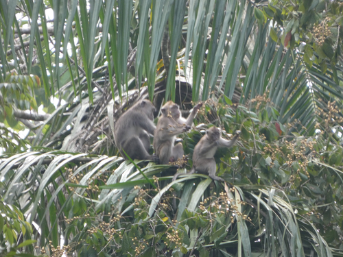
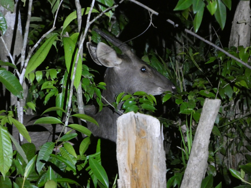
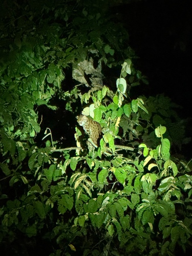
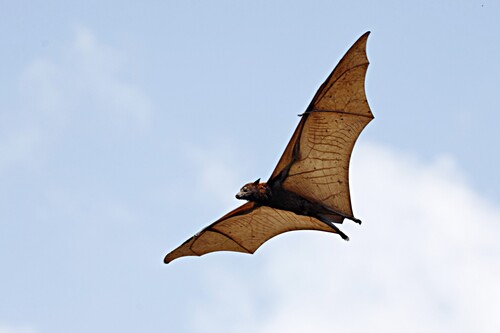
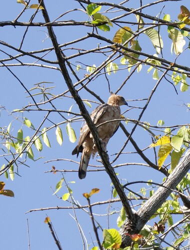
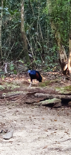
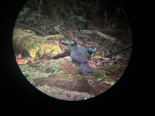

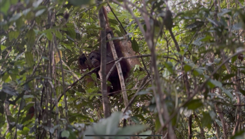
Research-grade observations from iNaturalist (within ~15 mi).
Events
Gallery
Sources
- • Wikidata
- • USGS Earthquake Catalog (global feed)
- • GBIF (Global Biodiversity Information Facility)
- • iNaturalist
- • Open-Meteo / sunrise-sunset.org