Browse / Malaysia / Sabah / Kinabatangan
Kinabatangan
Sabahtown

Kinabatangan
Total population
182,328
Demographic figures from Department of Statistics Malaysia. Overview below cites Wikipedia and may reference a different year.
City facts
Overview
Kinabatangan, also named Kota Kinabatangan, is the capital of the Kinabatangan District in the Sandakan Division of Sabah, Malaysia. Its population was estimated to be around 10,256 in 2010. Kinabatangan is mostly populated with the Orang Sungai tribe, one of the indigenous groups of Sabah.
Read more on WikipediaHistory & geography
Geography
Coordinates & boundaries from the US Census TIGER/Line shapefiles.
Climate
Air quality
Walkability
Amenities nearby
Wildlife & biodiversity
Earthquake history
Photos
Sights & places nearby
Notable people from here
Nearby places in Sabah
- Kampung Lot M3.9 mi away
- Segaliud10 mi away
- Bahagia Village18.7 mi away
- Sapi Rock20.1 mi away
- Kg. Gum Gum21.6 mi away
- Sandakan25.3 mi away · pop. 439,050
- Kuala Sapi Village32.5 mi away
- Tangkulap43.8 mi away
- Kampung Kuala Karamuak48.5 mi away
- Kampung Adian55 mi away
- Kampung Sinarupa60.6 mi away
- Tompios69.6 mi away
Geography & sun
Elevation, sunrise/sunset and daylight from Open-Meteo. Solar climatology from NASA POWER.
Nearby airports
Public attention
Pageview totals from the Wikimedia Pageviews API.
Books about Kinabatangan

Search results from Open Library.
Recent natural events nearby
Ground air-quality sensors
Recently spotted species
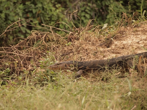
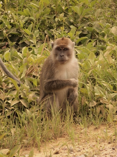
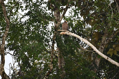


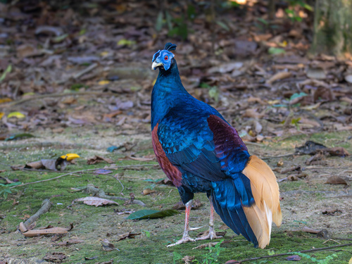
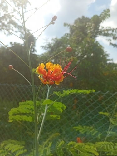
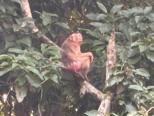

Research-grade observations from iNaturalist (within ~15 mi).
Events
Gallery
Sources
- • Wikipedia
- • Wikidata
- • iNaturalist
- • Open-Meteo / sunrise-sunset.org
- • Wikipedia Pageviews API
- • Open Library