Browse / Malaysia / Kelantan / Kota Bharu
Kota Bharu
Kelantancity

Kota Bharu
Total population
396,193
Founded
1844
Demographic figures from Department of Statistics Malaysia. Overview below cites Wikipedia and may reference a different year.
City facts
Facts from Wikidata (CC0).
Overview
Kota Bharu, colloquially referred to as KB, is a town in Malaysia that serves as the state capital and royal seat of Kelantan. It is situated in the northeastern part of Peninsular Malaysia and lies near the mouth of the Kelantan River.
Read more on WikipediaHistory & geography
History
Kota Bharu was founded during the late 19th century. Before the establishment, Kota Bharu was home to Kelantan's Royal Palace, then established by Sultan Muhammad II of Kelantan in 1844 as Kelantan's state capital who wanted the new state capital built in his honour. Prior to this, Kota Bharu was known as Kuala Kelantan. Before Kota Bharu assumed the role, the Kelantanese capital was divided into two which were Kota Kubang Labu and Kota Pengkalan Datu. During the 19th century, Kelantan was a prosperous and populous state with a population of around 30,000 to 50,000 people including a thousand Chinese. Production from within the state include gold, tin ore, black pepper, areca nut, rice, rattan, bamboo, agarwood and songket. Kota Bharu acts as entrepot for goods due to its strategic location beside the Kelantan River. During World War II, Pantai Sabak, about from Kota Bharu, was the initial landing point of the Japanese invasion forces on 8 December 1941, beginning the Battle of Kota Bharu, the first battle of the Malayan campaign. Japanese forces captured the city and would go on to successfully engage the British in jungle warfare and ultimately capture Singapore. Kota Bharu was declared as the "Cultural City" on 25 July 1991 by the late Sultan Ismail Petra on the basis of two important aspects – the history of Kota Bharu and the uniqueness of its local arts and cultures. Kota Bharu was rebranded as the "Islamic City" () by the Kelantan State Government on 1 October 2005 through its "Developing With Islam" () policy.
Excerpted from the corresponding Wikipedia article (CC BY-SA).
Geography
Coordinates & boundaries from the US Census TIGER/Line shapefiles.
Climate
Air quality
Walkability
Amenities nearby
Wildlife & biodiversity
Earthquake history
Photos
Sights & places nearby
Notable people from here


People born within ~10 km, from Wikidata (CC0). Click any name for their Wikipedia article.
Nearby places in Kelantan
- Mawande Village4903.2 mi away
- Wanyata Village4905.5 mi away
- Magodi4906.7 mi away
- Timeyo Village4914.1 mi away
- Mpande Village4919.2 mi away
- DZoole Village4945.8 mi away
- Wilikani Village4952.9 mi away
- Kayamba Village4954.1 mi away
- Saidi Village4954.3 mi away
- Chaola Village4956.1 mi away
- Kaweche Village4956.3 mi away
- Nthombimbi Village4960.9 mi away
Geography & sun
Elevation, sunrise/sunset and daylight from Open-Meteo. Solar climatology from NASA POWER.
Nearby airports
Public attention
Pageview totals from the Wikimedia Pageviews API.
Books about Kota Bharu

Search results from Open Library.
Recent natural events nearby
Ground air-quality sensors
Recently spotted species
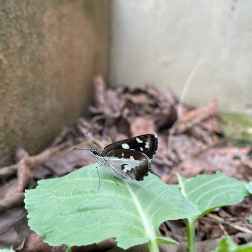
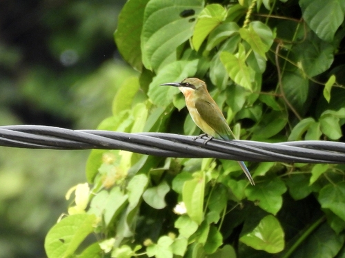
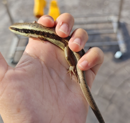
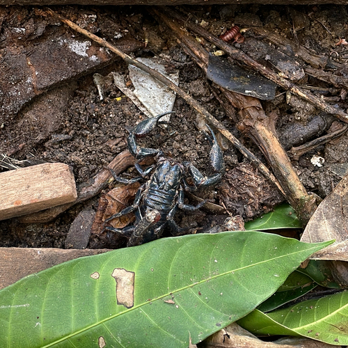
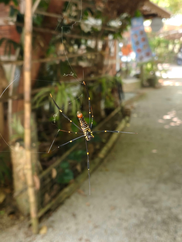
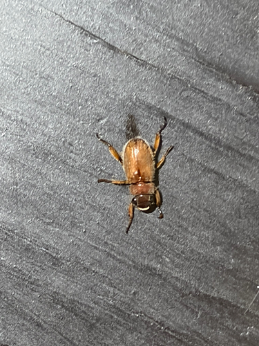
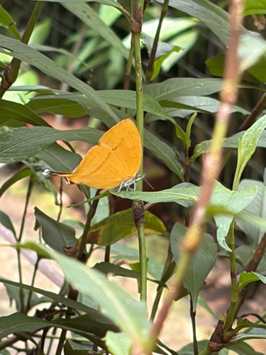
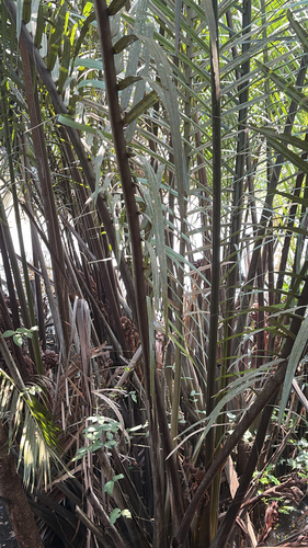
Research-grade observations from iNaturalist (within ~15 mi).
Events
Gallery
Sources
- • Wikipedia
- • Wikidata
- • iNaturalist
- • Open-Meteo / sunrise-sunset.org
- • Wikipedia Pageviews API
- • Open Library