Browse / Malaysia / Sarawak / Kuching
Kuching
Sarawakcity

Kuching
Total population
349,147
Founded
1827
Demographic figures from Department of Statistics Malaysia. Overview below cites Wikipedia and may reference a different year.
City facts
Sister cities
Facts from Wikidata (CC0).
Overview
Kuching, officially the City of Kuching, is the capital and the most populous city in the state of Sarawak in Malaysia. It is also the capital of Kuching Division. The city is on the Sarawak River at the southwestern tip of Sarawak on the island of Borneo and covers an area of 431 km2 (166 sq mi) with a population of about 162,843 in the Kuching North administrative region and 351,815 in the Kuching South administrative region—a total of 514,658 people.
Read more on WikipediaHistory & geography
History
Sarawak was part of the Bruneian Empire since the reign of the first Sultan of Brunei, Sultan Muhammad Shah. Kuching was the third capital of Sarawak, founded in 1827 by the representative of the Sultan of Brunei, Pengiran Indera Mahkota. Prior to the founding of Kuching, the two past capitals of Sarawak were Santubong, founded by Sultan Pengiran Tengah in 1599, and Lidah Tanah, founded by Datu Patinggi Ali in the early 1820s. The arrival of Mahkota was not popular with the local Malay chiefs, whose autonomy was restricted by Mahkota's increasing tax and labour demands. The chiefs moved upriver, allied with Dayaks, and rebelled against Brunei. Neither side could gain an edge over the other until 1840 when Pengiran Raja Muda Hashim, the Bruneian Prime Minister, offered to hand over the governorship of Sarawak to British adventurer James Brooke to acquire his help to defeat the rebel chiefs. The rebellion was crushed in November 1840, and on 24 September 1841, Brooke was appointed as the Governor of Sarawak with the title of Rajah. The administration was later continued by his nephew, Charles Brooke. As an administrative capital, it became the centre of attention and development. Improvements included a sanitation system.|Margaret Brooke, wife of Charles Brooke.}} The Astana (Palace), which is now the official residence of the governor of Sarawak, was constructed next to Brooke's first residence. He had it built in 1869 as a wedding gift to his wife. Kuching continued to prosper under Charles Vyner Brooke, who succeeded his father as the Third Rajah of Sarawak. A few months later, the Brooke administration came to a close when the Japanese occupied Sarawak. The Regiment defended Kuching and Bukit Stabar airfield from being the destroyed by the Japanese. From March…
Geography
Kuching is located on the banks of the Sarawak River in the northwestern part of the island of Borneo. The limits of the City of Kuching include all that area in Kuching District containing an area approximately bounded from Gunung Lasak (Mount Lasak) in Muara Tebas to Batu Buaya (Crocodile Rock) in the Santubong peninsula following a series of survey marks as stated in the First Schedule of the City of Kuching Ordinance, 1988. Rapid urbanisation has occurred in Greater Kuching and the urban sprawl extends to Penrissen, Kota Sentosa, Kota Padawan, Batu Kawah, Matang, Samariang, Siburan, Tarat, Kota Samarahan, Asajaya as well as Serian which is located about 65 km from Kuching. Kuching has a tropical rainforest climate (Köppen climate classification Af), moderately hot but very humid at times and receives substantial rainfall. The average annual rainfall is approximately . Kuching is the wettest populated area (on average) in Malaysia with an average of 247 rainy days per year. Kuching receives only 5 hours of sunshine per day on average and an average of only 3.7 hours of sunshine per day in the month of January (wettest month of the year). The wettest times are during the North-East Monsoon months of November to February and the city's driest months are June through August. The temperature in Kuching ranges from to but the average temperature is around in the early hours of the morning and rises to around during mid afternoon. This temperature stays almost constant throughout the year if it is not affected by the heavy rain and strong winds during the early hours of the morning which can bring the temperature down to , but this is very rare.
Excerpted from the corresponding Wikipedia article (CC BY-SA).
Geography
Coordinates & boundaries from the US Census TIGER/Line shapefiles.
Climate
10-year averages from ERA5 reanalysis (Open-Meteo).
Air quality
Walkability
Amenities nearby
Wildlife & biodiversity
Most-observed species
- Asian Glossy StarlingAplonis panayensis (Scopoli, 1786) · Aves682
- Yellow-vented BulbulPycnonotus goiavier (Scopoli, 1786) · Aves516
- Spotted DoveSpilopelia chinensis (Scopoli, 1786) · Aves490
- Eurasian Tree SparrowPasser montanus (Linnaeus, 1758) · Aves485
- Zebra DoveGeopelia striata (Linnaeus, 1766) · Aves446
- Pacific SwallowHirundo javanica Sparrman, 1789 · Aves428
- Collared KingfisherTodiramphus chloris (Boddaert, 1783) · Aves379
- Javan MynaAcridotheres javanicus Cabanis, 1851 · Aves352
Citizen-science & research observations from the Global Biodiversity Information Facility (GBIF).
Earthquake history
Events from the USGS Earthquake Catalog (global) (FDSN Event Web Service).
Photos
Sights & places nearby
Notable people from here


People born within ~10 km, from Wikidata (CC0). Click any name for their Wikipedia article.
Nearby places in Sarawak
- Kampung Sungai Tapang5.7 mi away
- Bako Bazaar9.3 mi away
- Semenggoh11.2 mi away
- Kampung Senibong11.6 mi away
- Kampung Benuk17.8 mi away
- Kampung Lubok Ria19.5 mi away
- Kampung Bayur22.2 mi away
- Kampung Tian Sekawan22.8 mi away
- Sadong Jaya27.4 mi away
- Kampung Jaya44.7 mi away
- Kampung Tapang Lebat48.2 mi away
- Kampung Sungai Pinang50.4 mi away
Geography & sun
Elevation, sunrise/sunset and daylight from Open-Meteo. Solar climatology from NASA POWER.
Nearby airports
Public attention
Pageview totals from the Wikimedia Pageviews API.
Books about Kuching

Search results from Open Library.
Recent natural events nearby
Ground air-quality sensors
Recently spotted species
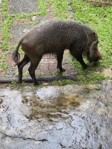
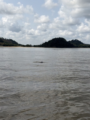
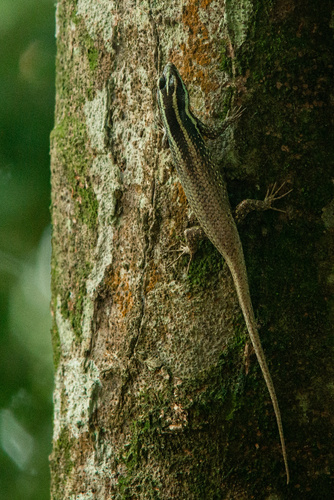
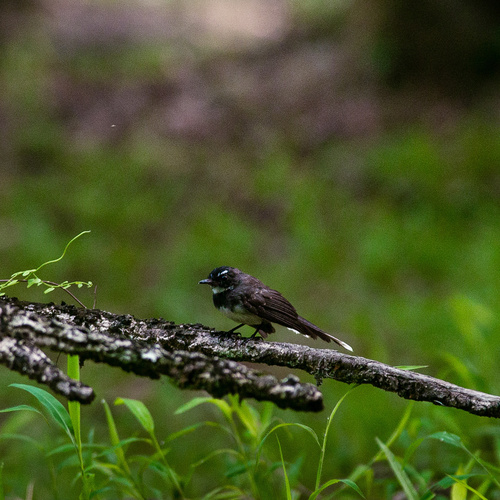
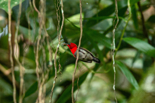
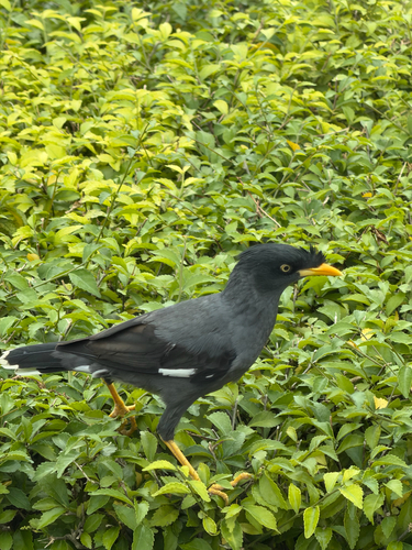
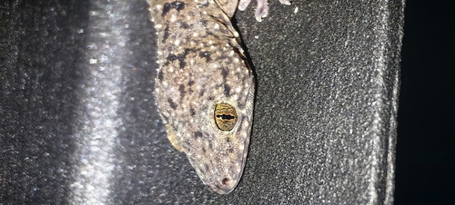
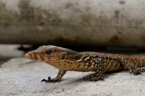
Research-grade observations from iNaturalist (within ~15 mi).
Events
Notable, recurring, and historical events associated with Kuching, sourced from Wikidata.
- Sep 3, 2012
Source: Wikidata (CC0).
Gallery
Sources
- • Wikipedia
- • Open-Meteo (ERA5 reanalysis)
- • Wikidata
- • USGS Earthquake Catalog (global feed)
- • GBIF (Global Biodiversity Information Facility)
- • iNaturalist
- • Open-Meteo / sunrise-sunset.org
- • Wikipedia Pageviews API
- • Open Library