Browse / Malaysia / Sabah / Lahad Datu
Lahad Datu
Sabahtown

Lahad Datu
Total population
199,830
Demographic figures from Department of Statistics Malaysia. Overview below cites Wikipedia and may reference a different year.
City facts
Facts from Wikidata (CC0).
Overview
Lahad Datu is the capital of the Lahad Datu District in the Dent Peninsula on Tawau Division of Sabah, Malaysia. Its population was estimated to be around 27,887 in 2010. The town is surrounded by stretches of cocoa and palm oil plantations. It is also an important timber exporting port. The town has an airport for domestic flights.
Read more on WikipediaHistory & geography
History
A settlement is believed to have existed here in the 15th century, as excavations have unearthed Ming dynasty Chinese ceramics. Just east of Lahad Datu is the village of Tunku, a notorious base for pirates and slave traders in the 19th century. Based on a Jawi manuscript from 1408 in the Ida'an language, the town is believed to be the first site in northern Borneo where Islam was first introduced. The Jawi manuscript gives an account of an Ida'an man named Abdullah in Darvel Bay who embraced Islam. On 23 September 1985, 15 to 20 armed foreign pirates from the neighbouring Philippines landed on this town, killing at least 21 people and injuring 11 others. Another standoff occurred in February 2013 and lasted for over a month between Malaysian authorities and the Filipino-based militants of the self-proclaimed "Royal Security Forces of the Sultanate of Sulu and North Borneo" led by Jamalul Kiram III and resulted in a Malaysian victory and creation of the Eastern Sabah Security Command and Eastern Sabah Security Zone. The standoff reportedly saw a total of 68 deaths – 56 from the Sulu sultanate, nine from the Malaysian authorities and six civilians. Before this incursion, the government of Malaysia continued to dutifully pay an annual cession payment amounting to roughly $1,000 to the indirect heirs of the Sultan honoring an 1878 agreement, where North Borneo – today’s Sabah – was conceded by the late Sultan of Sulu to a British company. After the event, the Malaysian government halted the payment. Years later, eight of these Sulu heirs, who insisted they were not involved in the standoff, hired lawyers to pursue legal action based on the original commercial deal. The case is still ongoing.
Excerpted from the corresponding Wikipedia article (CC BY-SA).
Geography
Coordinates & boundaries from the US Census TIGER/Line shapefiles.
Climate
Air quality
Walkability
Amenities nearby
Wildlife & biodiversity
Earthquake history
Photos
Sights & places nearby
Notable people from here

People born within ~10 km, from Wikidata (CC0). Click any name for their Wikipedia article.
Nearby places in Sabah
- Semporna42.3 mi away
- Sapi Rock57.4 mi away
- Sandakan58.3 mi away · pop. 439,050
- Kg. Gum Gum66.4 mi away
- Tangkulap74.2 mi away
- Kampung Kuala Karamuak79 mi away
- Kuala Sapi Village82.6 mi away
- Kampung Adian84.3 mi away
- Kampung Sinarupa90.3 mi away
- Kampung Intutan100.1 mi away
- Kampung Lotung101.2 mi away
- Kg. Saguan103.8 mi away
Geography & sun
Elevation, sunrise/sunset and daylight from Open-Meteo. Solar climatology from NASA POWER.
Nearby airports
Public attention
Pageview totals from the Wikimedia Pageviews API.
Books about Lahad Datu

Search results from Open Library.
Recent natural events nearby
Ground air-quality sensors
Recently spotted species
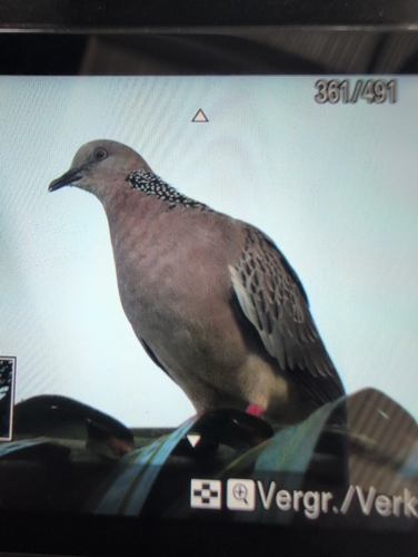
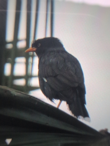
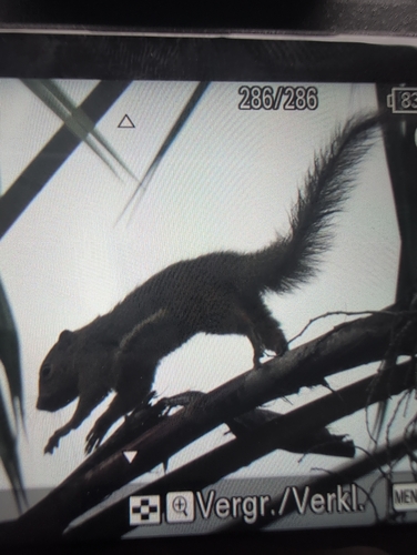
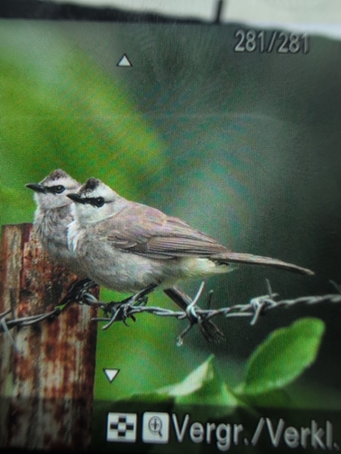
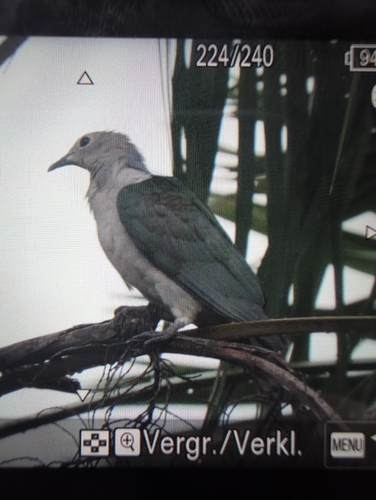
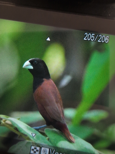
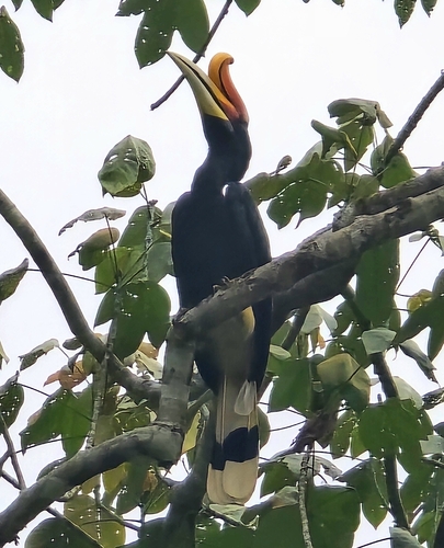
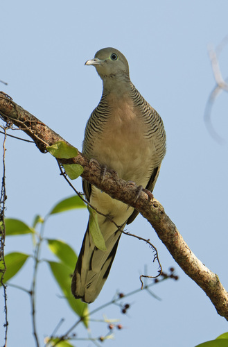
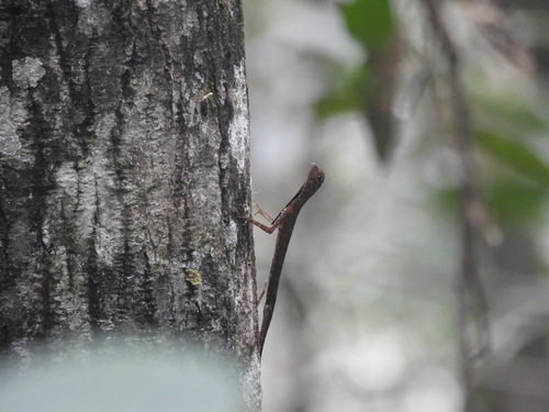
Research-grade observations from iNaturalist (within ~15 mi).
Events
Gallery
Sources
- • Wikipedia
- • Wikidata
- • iNaturalist
- • Open-Meteo / sunrise-sunset.org
- • Wikipedia Pageviews API
- • Open Library