Browse / Malaysia / Sarawak / Lubok Antu
Lubok Antu
Sarawakcity

Lubok Antu
Total population
39,079
Demographic figures from Department of Statistics Malaysia. Overview below cites Wikipedia and may reference a different year.
City facts
Facts from Wikidata (CC0).
Overview
Lubok Antu District is a district in the Sri Aman Division of the state of Sarawak, Malaysia. It borders on Indonesia and a Malaysian border crossing checkpoint is located here. The checkpoint on the Indonesian side is called the Nanga Badau Border Crossing Checkpoint located in the village of Badau, West Kalimantan. The seat of Lubok Antu District is the town of Lubok Antu.
Read more on WikipediaHistory & geography
Geography
The Batang Ai river runs through the district. There is a suspension bridge which leads to the village of Kampung Pasir. In 2018 a suspension bridge at Nanga Kesit collapsed because of flooding.
Excerpted from the corresponding Wikipedia article (CC BY-SA).
Geography
Coordinates & boundaries from the US Census TIGER/Line shapefiles.
Climate
Air quality
Walkability
Amenities nearby
Wildlife & biodiversity
Most-observed species
- Black-and-red BroadbillCymbirhynchus macrorhynchos (Gmelin, 1788) · Aves10
- Blue-eared KingfisherAlcedo meninting Horsfield, 1821 · Aves6
- Pacific SwallowHirundo javanica Sparrman, 1789 · Aves4
- Plain-throated SunbirdAnthreptes malacensis (Scopoli, 1786) · Aves4
- Yellow-vented BulbulPycnonotus goiavier (Scopoli, 1786) · Aves4
- Black-naped MonarchHypothymis azurea (Boddaert, 1783) · Aves4
- Diard's TrogonHarpactes diardii (Temminck, 1832) · Aves4
- Grey-headed Fish EagleIcthyophaga ichthyaetus (Horsfield, 1821) · Aves4
Citizen-science & research observations from the Global Biodiversity Information Facility (GBIF).
Earthquake history
Events from the USGS Earthquake Catalog (global) (FDSN Event Web Service).
Photos
Sights & places nearby
Notable people from here
People born within ~10 km, from Wikidata (CC0). Click any name for their Wikipedia article.
Nearby places in Sarawak
- Kampung Skra Ili32.2 mi away · pop. 100
- Kampung Melayu Pangkat36 mi away · pop. 300
- Luban Ili37.2 mi away · pop. 100
- Gua37.7 mi away
- Lachau Engkabang Baru44.1 mi away
- Aping54.6 mi away
- Kampung Sungai Aping63 mi away
- Kampung Sabal Jaya63.8 mi away
- Kampung Sungai Pinang65.7 mi away
- Kampung Tapang Lebat70.6 mi away
- Kampung Jaya76.2 mi away
- Sadong Jaya82.3 mi away
Geography & sun
Elevation, sunrise/sunset and daylight from Open-Meteo. Solar climatology from NASA POWER.
Nearby airports
Public attention
Pageview totals from the Wikimedia Pageviews API.
Books about this place
Recent natural events nearby
Ground air-quality sensors
Recently spotted species
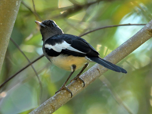
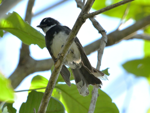
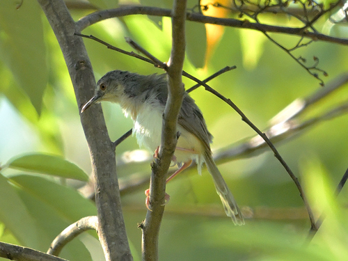
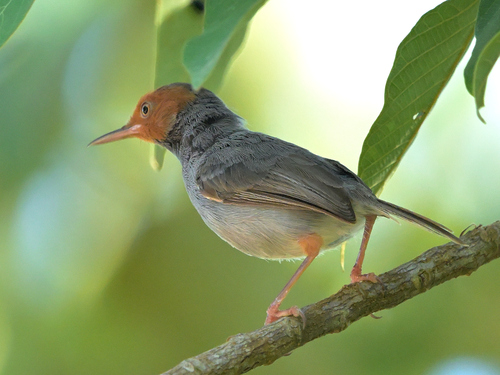
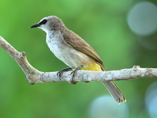

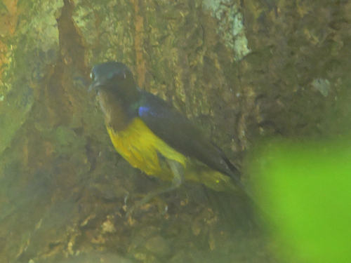
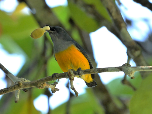

Research-grade observations from iNaturalist (within ~15 mi).
Events
Gallery
Sources
- • Wikipedia
- • Wikidata
- • USGS Earthquake Catalog (global feed)
- • GBIF (Global Biodiversity Information Facility)
- • iNaturalist
- • Open-Meteo / sunrise-sunset.org
- • Wikipedia Pageviews API