Browse / Malaysia / Negeri Sembilan / Mantin
Mantin
Negeri Sembilantown

Mantin
Total population
15,000
Demographic figures from Department of Statistics Malaysia. Overview below cites Wikipedia and may reference a different year.
City facts
Overview
Mantin is a town in Seremban District, Negeri Sembilan, Malaysia. It lies along the main road connecting Kajang and Seremban.
Read more on WikipediaHistory & geography
History
This place has two names, Setul and Mantin. Setul is the name of a certain plant (sandoricum koetjape). Setul was a town with a police station. It is not at the present town of Mantin but at the 8th mile towards Seremban (junction to Lenggeng). The name Setul is still in use, in grants and licenses of land, e.g. Mukim Setul, not Mukim of Mantin. The town of Setul was transferred to Mantin. The present name of Mantin is well known for its tin mine owned by a Chinese towkay (prominent Chinese businessman), Kong Sang (广生号, actually a company's name). The Europeans called the place 'Mine Tin' while the Malays called it 'Mantin' as tin ore (bijih timah) was plentiful in the area. The residents of the place could not say 'Mine Tin' correctly and said Mantin instead. The earliest account of Mantin was related to Kapitan Seng Ming Lee (甲必单盛明利), the first Chinese chief who was killed in 1860 in a war between Chinese secret societies (Hai San and Ghee Hin) near Sungei Ujong (presently Seremban). His descendants fled to Mantin. Today (as of October 2022) the great-grandchildren of Kapitan Seng still live in Mantin. Situated in a valley surrounded by rolling hills, Mantin has been a favourite sanctuary and hiding place for war and crime refugees. In addition to Kapitan Seng Ming Lee's descendants, large groups of Hakka were said to have migrated here, especially from Titi, during the Japanese occupation of Malaya in 1943. Until 1903, the geographical location of Mantin in a valley made it inaccessible to mainstream transportation. A railroad from Kuala Lumpur to Seremban was completed in 1903. The railroad passes through Batang Benar town, thus providing an access point at the western side of the town. At that time, British miners brought in large numbers of dredgers into…
Excerpted from the corresponding Wikipedia article (CC BY-SA).
Geography
Coordinates & boundaries from the US Census TIGER/Line shapefiles.
Climate
Air quality
Walkability
Amenities nearby
Wildlife & biodiversity
Earthquake history
Photos
Sights & places nearby
Notable people from here
People born within ~10 km, from Wikidata (CC0). Click any name for their Wikipedia article.
Nearby places in Negeri Sembilan
Geography & sun
Elevation, sunrise/sunset and daylight from Open-Meteo. Solar climatology from NASA POWER.
Nearby airports
Public attention
Pageview totals from the Wikimedia Pageviews API.
Books about this place
Recent natural events nearby
Ground air-quality sensors
Recently spotted species
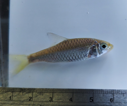
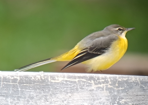
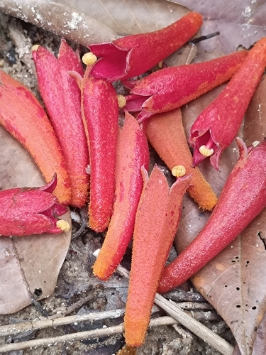
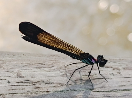
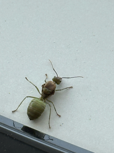
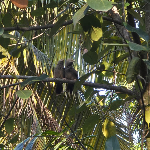
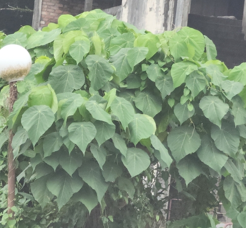
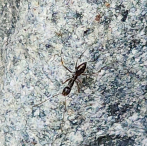
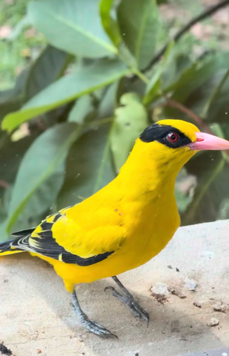
Research-grade observations from iNaturalist (within ~15 mi).
Events
Gallery
Sources
- • Wikipedia
- • Wikidata
- • iNaturalist
- • Open-Meteo / sunrise-sunset.org
- • Wikipedia Pageviews API