Browse / Malaysia / Sarawak / Marudi
Marudi
Sarawaktown

Marudi
Total population
0
Demographic figures from Department of Statistics Malaysia. Overview below cites Wikipedia and may reference a different year.
City facts
Overview
Marudi is a town in the Malaysian state of Sarawak, and is a part of the division of Miri. It is the seat of Marudi District, and is located on the banks of Baram River, about 100 kilometres (62 mi) upstream from the river mouth. Marudi was the administrative centre of the northern region of Sarawak before Miri was established in 1910. Marudi is considered as the cultural heart of the Orang Ulu, the highland tribes of Sarawak. It is also a transit gateway to Kelabit Highlands and Gunung Mulu National Park, a UNESCO World Heritage Site.
Read more on WikipediaHistory & geography
Geography
Coordinates & boundaries from the US Census TIGER/Line shapefiles.
Climate
Air quality
Walkability
Amenities nearby
Wildlife & biodiversity
Earthquake history
Photos
Sights & places nearby
Notable people from here

People born within ~10 km, from Wikidata (CC0). Click any name for their Wikipedia article.
Nearby places in Sarawak
- Long Buang29.5 mi away
- Long Tujang29.7 mi away
- Kampung Sepurau30.4 mi away
- Lio Mato93.4 mi away
- Long Jeeh93.5 mi away
- Long Makabar97.6 mi away
- Long Jekitan100.3 mi away
- Luban Ili269.8 mi away · pop. 100
- Bebuling Tapang271.2 mi away · pop. 100
- Kampung Pruan283.3 mi away · pop. 1,000
- Skra Ulu283.5 mi away · pop. 150
- Putat283.5 mi away · pop. 150
Geography & sun
Nearby airports
Public attention
Books about this place
Recent natural events nearby
Ground air-quality sensors
Recently spotted species
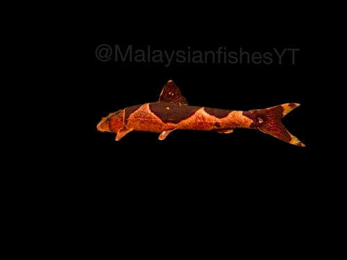
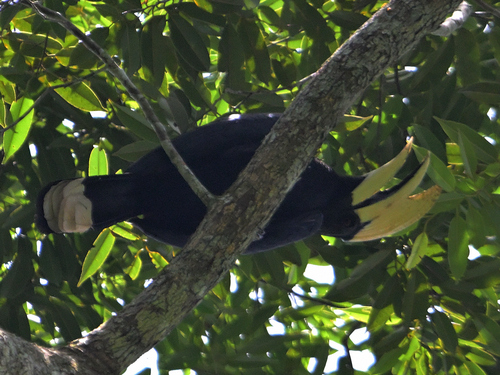
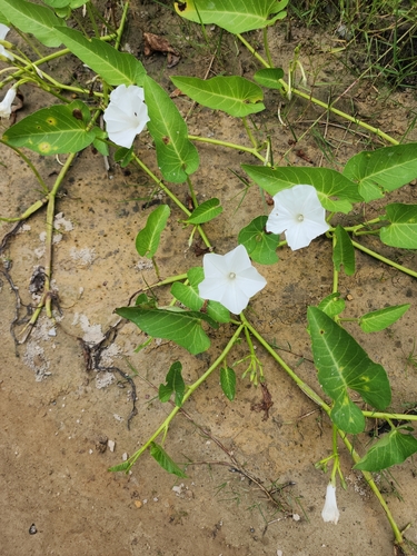

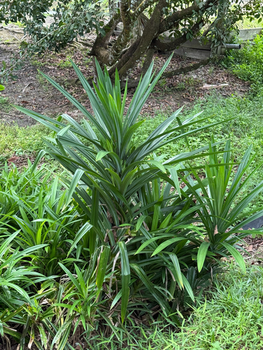
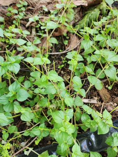
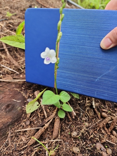
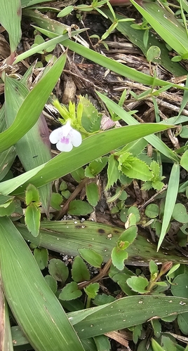
Research-grade observations from iNaturalist (within ~15 mi).
Events
Gallery
Sources
- • Wikipedia
- • Wikidata
- • iNaturalist