Browse / Malaysia / Sarawak / Miri
Miri
Sarawakcity

Miri
Total population
248,877
Demographic figures from Department of Statistics Malaysia. Overview below cites Wikipedia and may reference a different year.
City facts
Sister cities
Facts from Wikidata (CC0).
Overview
Miri is a coastal city in north-eastern Sarawak, Malaysia, located near the border of Brunei, on the island of Borneo. The city covers an area of 997.43 square kilometres (385.11 sq mi), located 798 kilometres (496 mi) northeast of Kuching and 329 kilometres (204 mi) southwest of Kota Kinabalu. Miri is the second largest city in Sarawak, with a population of 356,900 as of 2020. The city is also the capital of Miri District, Miri Division.
Read more on WikipediaHistory & geography
History
Charles Brooke succeeded James Brooke as the new Rajah of Sarawak in 1868. By 1883, Sultan of Brunei (Sultan Abdul Momin) ceded the Baram region (including Miri) to Charles Brooke. The fourth division of Sarawak was immediately created with the installation of Claude Champion de Crespigny as the first Resident of the Division. It was a small settlement surrounded by mangrove and Nipah palm jungles consisted of 20 scattered houses, a few wooden shops operated by Chinese traders and a lone Arab trader. A fort was built in Claudetown (present day Marudi, to the east of Miri) in 1883. Claudetown became the administrative centre of the division. Mr Claude's administration was helped by two junior officers, 30 rangers, and a few native police. Charles Hose succeeded Mr de Crespigny as the new Resident in 1891 and the fort in Marudi was renamed as "Fort Hose". To restore peace among various ethnic tribes fighting in the Baram region, Charles Hose decided to organise a peace conference at his fort in April 1899. This peace conference also led to the birth of first Baram Regatta, a long boat race competition among the natives which continued to be held until today. The local population in Miri has indeed started to extract oil from hand-dug wells for centuries. Song Huiyao Jigao, a documentation of the Song dynasty of China, mentions the imports of Borneo camphor and petroleum in the 11th century. In 1882, Mr de Crespigny reported to the Brooke government on 18 hand-dug oil wells in the Miri area. He also recommended that area near Miri River should be thoroughly explored. However, his recommendations were ignored. But when Charles Hose took over the Resident office in 1891, he was interested in Mr de Crespigny's idea and began to collaborate with him. Mr de Crespigny began…
Geography
Miri is situated on the alluvial plain of the Miri River on the western shore of northern Sarawak on the island of Borneo. Because of the prevailing southerly off-shore current, beach drift has built up the Peninsula Road as a barrier beach between the Miri River and the shore causing a "Yazoo effect" where the river runs parallel to the coast before breaking through into the South China Sea. The city is predominately located on the inland (east) side of the Miri River with only a few scattered residential neighbourhoods, a Golf Club and a small airstrip on the Peninsula Road. Miri has a tropical rainforest climate. There are two monsoon seasons: the southwest monsoon, which is the dry season from April to September, and the northeast monsoon, which is the wet season from October to March. The annual rainfall is around . The air temperature is between to the whole year round. But on rare occasions, the temperature can go down to to especially in the months of November, December and January. The lowest temperature ever recorded was in December 2010 when the mercury dropped down to .
Excerpted from the corresponding Wikipedia article (CC BY-SA).
Geography
Coordinates & boundaries from the US Census TIGER/Line shapefiles.
Climate
10-year averages from ERA5 reanalysis (Open-Meteo).
Air quality
Walkability
Amenities nearby
Wildlife & biodiversity
Most-observed species
- Yellow-vented BulbulPycnonotus goiavier (Scopoli, 1786) · Aves265
- Zebra DoveGeopelia striata (Linnaeus, 1766) · Aves265
- Asian Glossy StarlingAplonis panayensis (Scopoli, 1786) · Aves243
- Spotted DoveSpilopelia chinensis (Scopoli, 1786) · Aves207
- Pink-necked PigeonTreron vernans (Linnaeus, 1771) · Aves176
- Eurasian Tree SparrowPasser montanus (Linnaeus, 1758) · Aves164
- Collared KingfisherTodiramphus chloris (Boddaert, 1783) · Aves134
- Chestnut MuniaLonchura atricapilla (Vieillot, 1807) · Aves107
Citizen-science & research observations from the Global Biodiversity Information Facility (GBIF).
Earthquake history
Most recent
- M 5.2 — 2004-05-0178 km SSW of Marudi, Malaysia
Events from the USGS Earthquake Catalog (global) (FDSN Event Web Service).
Photos
Sights & places nearby
Notable people from here


People born within ~10 km, from Wikidata (CC0). Click any name for their Wikipedia article.
Nearby places in Sarawak
Geography & sun
Elevation, sunrise/sunset and daylight from Open-Meteo. Solar climatology from NASA POWER.
Nearby airports
Public attention
Pageview totals from the Wikimedia Pageviews API.
Books about Miri

Search results from Open Library.
Recent natural events nearby
Ground air-quality sensors
Recently spotted species
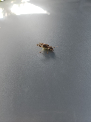
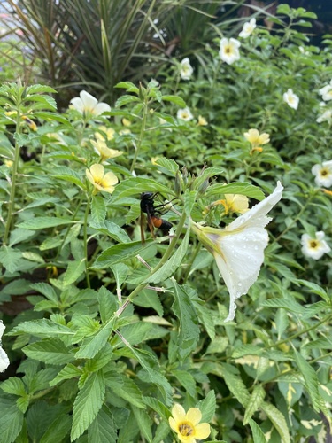
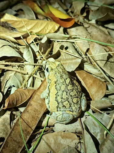
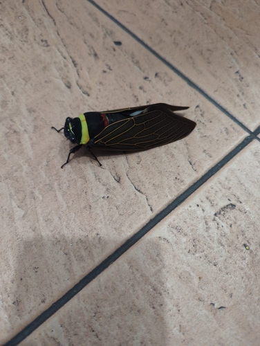
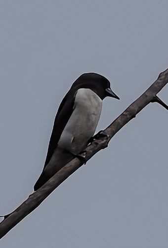
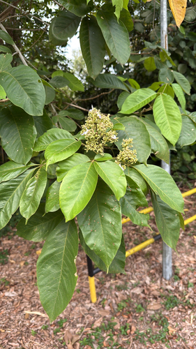
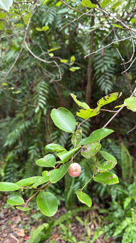
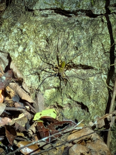
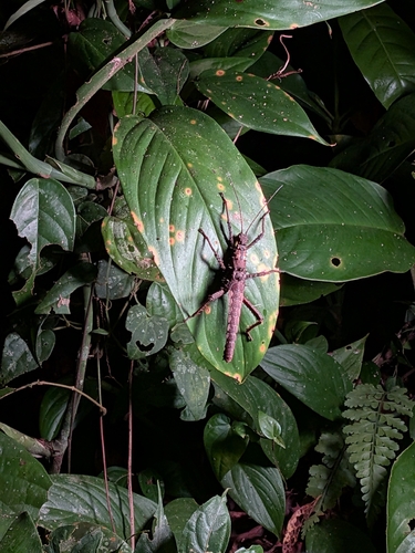
Research-grade observations from iNaturalist (within ~15 mi).
Events
Gallery
Geotagged photos within ~6 miles of Miri, from Wikimedia Commons contributors.
 0.1 mi
 0.1 mi
 0.1 mi
 0.1 mi
 0.2 mi
 0.2 mi
 0.2 mi
 0.2 mi
 0.2 mi
 0.2 mi
 0.2 mi
 0.2 mi
 0.2 mi
 0.2 mi
 0.2 mi
 0.2 mi
 0.2 mi
 0.2 mi
 0.2 mi
 0.2 mi
 0.2 mi
 0.2 mi
 0.2 mi
 0.2 mi
Photos via Wikimedia Commons — see each image page for license & attribution.
Sources
- • Wikipedia
- • Open-Meteo (ERA5 reanalysis)
- • Wikimedia Commons
- • Wikidata
- • USGS Earthquake Catalog (global feed)
- • GBIF (Global Biodiversity Information Facility)
- • iNaturalist
- • Open-Meteo / sunrise-sunset.org
- • Wikipedia Pageviews API
- • Open Library