Browse / Malaysia / Johor / Muar
Muar
Johorcity

Muar
Total population
314,776
Founded
1885
Demographic figures from Department of Statistics Malaysia. Overview below cites Wikipedia and may reference a different year.
City facts
Facts from Wikidata (CC0).
Overview
Muar, officially known by the sobriquet Bandar Maharani, is a historical town and the capital of Muar District, Johor, Malaysia, situated by the estuary of the eponymous Muar River. It is the fourth largest urban area in Johor, after Johor Bahru, Batu Pahat and Kluang.
Read more on WikipediaHistory & geography
History
Muar is rich in history as mentioned in many historical records and archaeological works. It is believed that the history of Muar began much earlier, predating the establishment of the Sultanate of Malacca. In 1361, it was claimed that Muar was a part of the Majapahit Empire. Another account also stated that Parameswara, upon his exile from Singapura before proceeding to found Malacca, had established several settlements at Kota Buruk, Pagoh, Ulu Muar and Muar before reaching the place that would become Malacca. Historically, Muar was also where the deposed heir of the Malacca Sultanate escaped to in 1511 following the Portuguese invasion launched from Goa by Afonso de Albuquerque. Muar played a role in resisting the Portuguese occupation of Malacca; the Kubu Bentayan fortress was erected by Sultan Mahmud Shah to repel seaborne invasions, before he was defeated and retreated further inland to Pagoh, this time witnessing the fall of his empire. The Portuguese occupied Muar soon after and built a fortress, Fortaleza de Muar, to defend the colony against the attacks from the Dutch and Aceh instead at the same strategic site of Bentayan. The British did just about the same thing at the Muar River site near Bentayan in defence against the advance of the Japanese Imperial Army in the Battle of Muar in World War II. During the time of the beginning of Bugis immigration from Sulawesi and their influence in the Johor Sultanate, the five Bugis warrior princes – Daeng Marewah, Daeng Parani, Daeng Chelak, Daeng Menambun and Daeng Kemasi – said to have come to settle in Liang Batu, Lenga, before they and their descendants became influential Temenggungs and even rulers later. Muar was also attested in many historical sources, varying from old maps, poems, epics, manuscripts…
Geography
The town of Muar is located at the mouth of the Muar River. Muar's flat terrain has enabled the extensive use of bicycles and tricycles as the main and major mode of transportation in the town's early days. This was believed to be the main factor why Muar was once the town with the most bicycles and the only one that requires valid license issued by the town council to own and use a bicycle in the country. Prior to the 2008 separation, the Muar District formerly covers 2,346.12 km2, with a population of 328,695 (2000). Muar, like the rest of Peninsular Malaysia, enjoys a year-round equatorial climate which is warm and sunny, along with plentiful rainfall, especially during the southwest monsoon from April to September. The climate is very much dictated by the adjacent sea and the wind system. In the 2006/2007 floods, unusually heavy rainfall in the states of Johor and Malacca has resulted in the worst flooding in southern Peninsular Malaysia in recorded history. Muar was not spared from this dreadful disaster which lasted almost a month. Many areas of Muar such as Bukit Bakri, Pagoh and Lenga were seriously inundated with some areas up to . About 22,933 people were evacuated to relief centre.s
Excerpted from the corresponding Wikipedia article (CC BY-SA).
Geography
Coordinates & boundaries from the US Census TIGER/Line shapefiles.
Climate
Air quality
Walkability
Amenities nearby
Wildlife & biodiversity
Earthquake history
Photos
Sights & places nearby
Notable people from here


People born within ~10 km, from Wikidata (CC0). Click any name for their Wikipedia article.
Nearby places in Johor
Geography & sun
Elevation, sunrise/sunset and daylight from Open-Meteo. Solar climatology from NASA POWER.
Nearby airports
Public attention
Pageview totals from the Wikimedia Pageviews API.
Books about Muar

Search results from Open Library.
Recent natural events nearby
Ground air-quality sensors
Recently spotted species
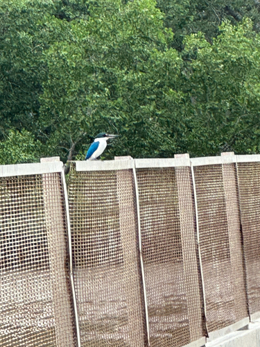
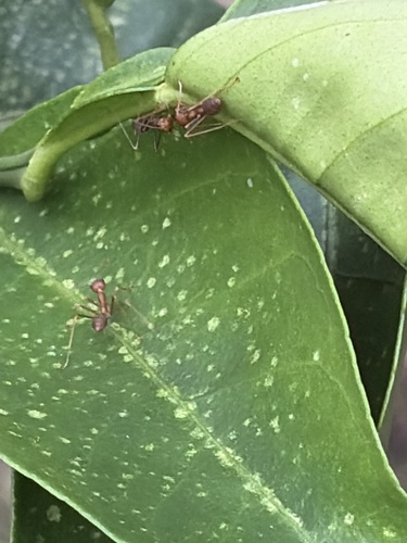
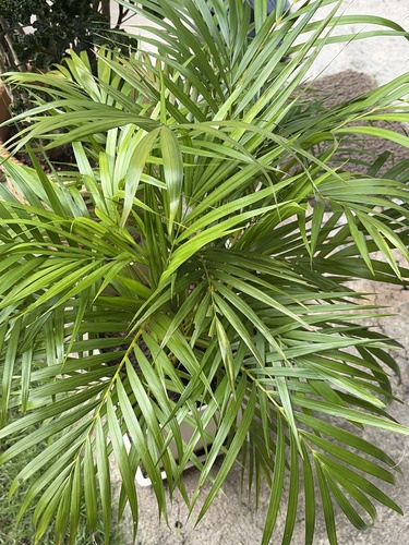
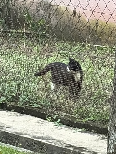
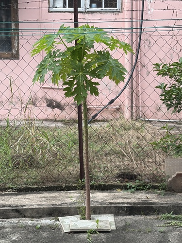
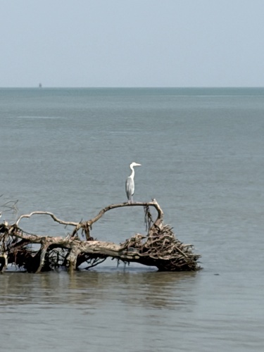
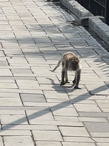
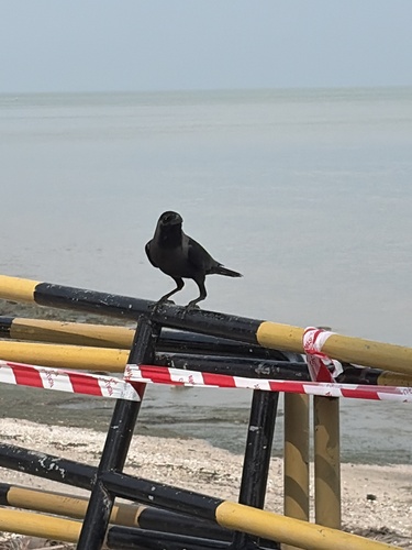
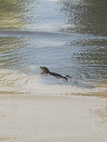
Research-grade observations from iNaturalist (within ~15 mi).
Events
Gallery
Sources
- • Wikipedia
- • Wikidata
- • iNaturalist
- • Open-Meteo / sunrise-sunset.org
- • Wikipedia Pageviews API
- • Open Library