Browse / Malaysia / Johor / Pagoh
Pagoh
Johortown

Pagoh
Air quality index
Demographic figures from Department of Statistics Malaysia. Overview below cites Wikipedia and may reference a different year.
City facts
Overview
Pagoh is a town in Muar District, Johor, Malaysia. Pagoh is situated 25 kilometres (16 mi) from Muar via Johor State Route J32 and is accessible via one of the main interchanges on the North–South Expressway, the major expressway on the west coast of Peninsular Malaysia. There are several federal government institutions in that town, including Institut Kemahiran Belia Negara (IKBN) and Malaysian National Service Nasuha Camp.
Read more on WikipediaHistory & geography
History
During the Malayan Emergency, British and Commonwealth forces publicly displayed the corpses of communist guerrillas in Pagoh.
Excerpted from the corresponding Wikipedia article (CC BY-SA).
Geography
Coordinates & boundaries from the US Census TIGER/Line shapefiles.
Climate
Air quality
Current readings from Open-Meteo Air Quality API (Copernicus CAMS European reanalysis).
Walkability
Amenities nearby
Wildlife & biodiversity
Most-observed species
- White-breasted WaterhenAmaurornis phoenicurus (Pennant, 1769) · Aves13
- Red-wattled LapwingVanellus indicus (Boddaert, 1783) · Aves13
- Zebra DoveGeopelia striata (Linnaeus, 1766) · Aves12
- Common MynaAcridotheres tristis (Linnaeus, 1766) · Aves10
- Spotted DoveSpilopelia chinensis (Scopoli, 1786) · Aves10
- Blue-tailed Bee-eaterMerops philippinus Linnaeus, 1767 · Aves9
- Black-shouldered KiteElanus caeruleus (Desfontaines, 1789) · Aves9
- intermediate egretEgretta intermedia (Wagler, 1829) · Aves9
Citizen-science & research observations from the Global Biodiversity Information Facility (GBIF).
Earthquake history
Most recent
- M 4 — 2025-08-2313 km ESE of Segamat, Malaysia
- M 3.8 — 2008-05-2568 km SSW of Batu Pahat, Malaysia
Events from the USGS Earthquake Catalog (global) (FDSN Event Web Service).
Photos
Sights & places nearby
Notable people from here
People born within ~10 km, from Wikidata (CC0). Click any name for their Wikipedia article.
Nearby places in Johor
Geography & sun
Elevation, sunrise/sunset and daylight from Open-Meteo. Solar climatology from NASA POWER.
Nearby airports
Public attention
Pageview totals from the Wikimedia Pageviews API.
Books about this place
Recent natural events nearby
Ground air-quality sensors
Recently spotted species
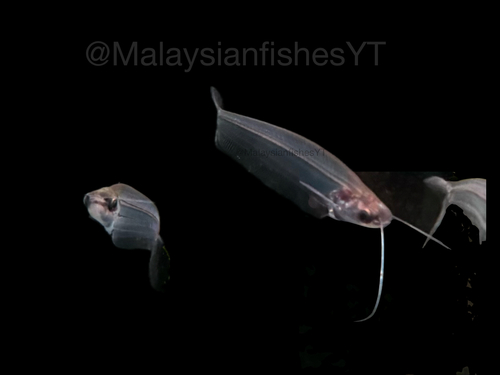
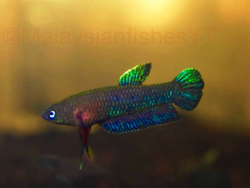
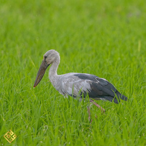
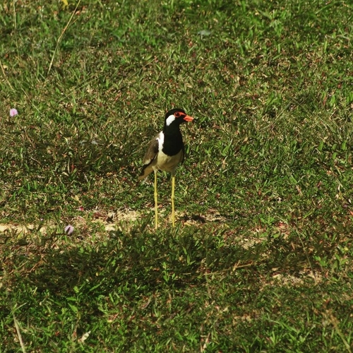
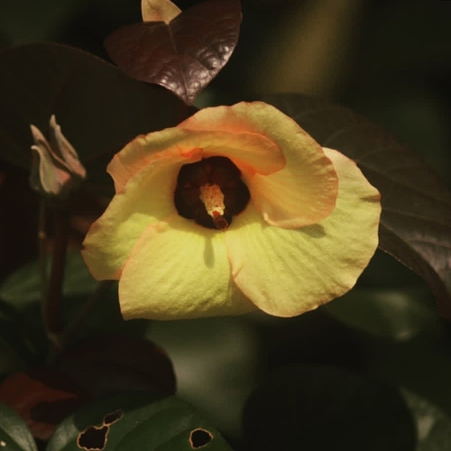
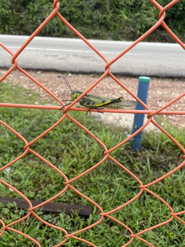
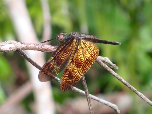
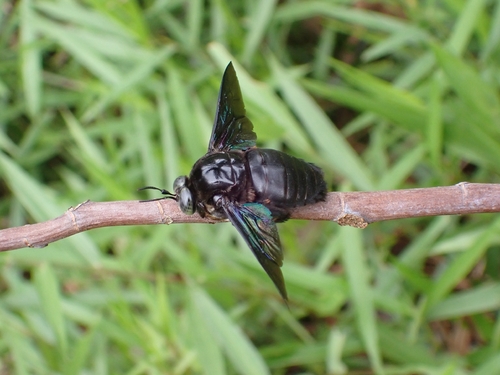
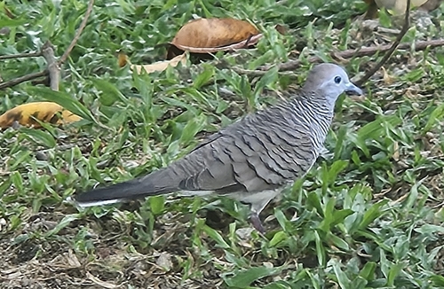
Research-grade observations from iNaturalist (within ~15 mi).
Events
Gallery
Sources
- • Wikipedia
- • Wikidata
- • Open-Meteo Air Quality (CAMS)
- • USGS Earthquake Catalog (global feed)
- • GBIF (Global Biodiversity Information Facility)
- • iNaturalist
- • Open-Meteo / sunrise-sunset.org
- • Wikipedia Pageviews API