Browse / Malaysia / Pahang / Raub
Raub
Pahangtown

Raub
Total population
88,600
Demographic figures from Department of Statistics Malaysia. Overview below cites Wikipedia and may reference a different year.
City facts
Overview
Raub District is a district in Pahang, Malaysia. Located in the west of the state, the district borders Lipis District to the north, Jerantut District to the east, Temerloh District to the southeast, Bentong District to the south, and the districts of Hulu Selangor and Muallim, respectively situated in the states of Selangor and Perak, to the west. Raub district consists of seven mukim (sub-districts), namely Batu Talam, Sega, Semantan Ulu, Dong, Ulu Dong, Gali and Tras. With an area of 2,271 km2, Raub District is sandwiched between the Titiwangsa Mountains and the Benom Massif. Raub District also is home to the hill station of Fraser's Hill. The administrative seat of this district is the town of Raub.
Read more on WikipediaHistory & geography
Geography
Coordinates & boundaries from the US Census TIGER/Line shapefiles.
Climate
Air quality
Walkability
Amenities nearby
Wildlife & biodiversity
Most-observed species
- chestnut-capped laughing thrushGarrulax mitratus (S.Muller, 1836) · Aves3,475
- Streaked SpiderhunterArachnothera magna (Hodgson, 1836) · Aves3,278
- Mountain FulvettaAlcippe peracensis Sharpe, 1887 · Aves2,912
- Black-throated SunbirdAethopyga saturata (Hodgson, 1836) · Aves2,790
- Black-browed BarbetPsilopogon oorti (S.Müller, 1836) · Aves2,757
- Long-tailed SibiaHeterophasia picaoides (Hodgson, 1839) · Aves2,546
- Fire-tufted BarbetPsilopogon pyrolophus S.Müller, 1836 · Aves2,476
- Little Cuckoo-DoveMacropygia ruficeps (Temminck, 1835) · Aves2,244
Citizen-science & research observations from the Global Biodiversity Information Facility (GBIF).
Earthquake history
Events from the USGS Earthquake Catalog (global) (FDSN Event Web Service).
Photos
Sights & places nearby
Notable people from here
People born within ~10 km, from Wikidata (CC0). Click any name for their Wikipedia article.
Nearby places in Pahang
Geography & sun
Elevation, sunrise/sunset and daylight from Open-Meteo. Solar climatology from NASA POWER.
Nearby airports
Public attention
Pageview totals from the Wikimedia Pageviews API.
Books about this place
Recent natural events nearby
Ground air-quality sensors
Recently spotted species
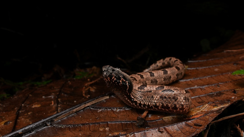
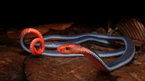
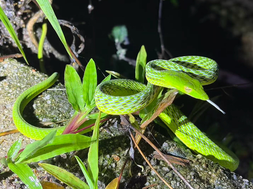
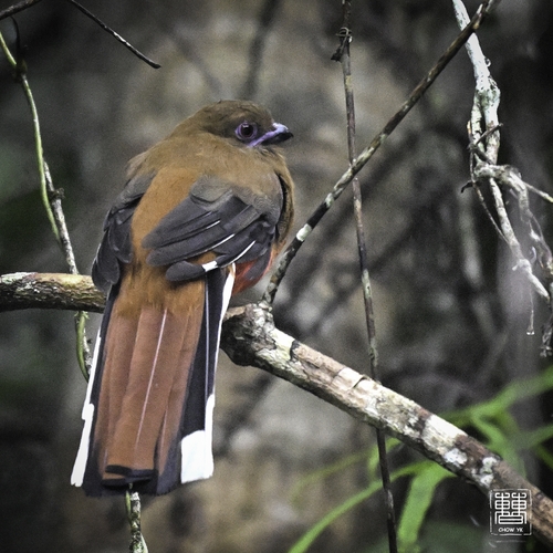
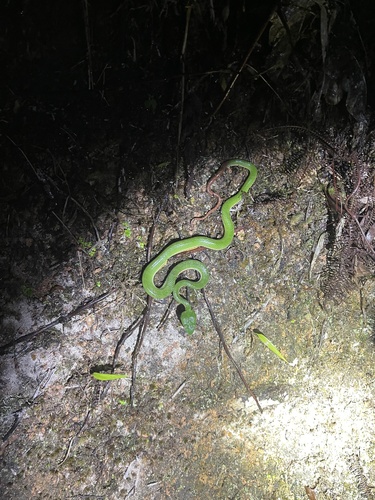
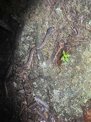
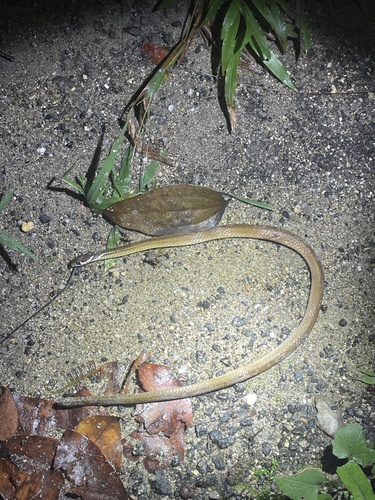
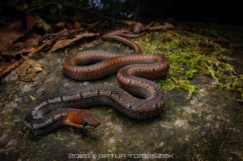
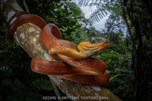
Research-grade observations from iNaturalist (within ~15 mi).
Events
Gallery
Sources
- • Wikipedia
- • Wikidata
- • USGS Earthquake Catalog (global feed)
- • GBIF (Global Biodiversity Information Facility)
- • iNaturalist
- • Open-Meteo / sunrise-sunset.org
- • Wikipedia Pageviews API