Browse / Malaysia / Sarawak / Sarikei
Sarikei
Sarawakcity

Sarikei
Total population
44,039
Demographic figures from Department of Statistics Malaysia. Overview below cites Wikipedia and may reference a different year.
City facts
Facts from Wikidata (CC0).
Overview
Sarikei is a town, and the capital of Sarikei District in Sarikei Division, Sarawak, Malaysia. It is located on the Rajang River, near where the river empties into the South China Sea. The district population was 56,798.
Read more on WikipediaHistory & geography
History
The town Sarikei already existed prior to the rule of Brooke when it was part of the Bruneian Empire. The Sigalang community is known to be the first community to exist in the Sarikei area 300 years ago which was located between Sarikei and Nyelong rivers where both rivers drained into the Rajang river. They were known to be skillful farmers, hunters, and house builders. The Sigalang community was named of its headman who was fair and just and took great care of the community. Rajah James Brooke first visited Sarikei on 30 April 1845 in his steamer H.E.I.C.S. Phlegethon. In 1846, James Brooke wanted Abdul Rahman to control the piracy of the Iban people but Abdul Rahman failed to contain the Ibans. On 4 January 1856, Sarikei was burnt by Dayaks from Julau. In the same month, James Brooke set up a fort in Sarikei to suppress any piracy activities by the upriver Iban people. The fort was built for Brooke allies led by Abang Ali and Abang Asop. This has angered Syarif Masahor. Syarif responded by building a bigger military force. This led the Brookes to reinstate Syarif as the leader of Sarikei in September 1857 in exchange for Brooke's control of Mukah. On 19 June 1856, Sir Charles Brooke led an expedition to Julau in order to counter the native resistance in Julau. The number of shophouses grew from four to six shops in 1905. In 1923, the Chinese in Sarikei constructed the first part of Sarikei-Durin road. In 1932, all the wooden shophouses in Sarikei were rebuilt using concrete. Chinese schools started to increase from the same year. In 1941, Japanese troops occupied Sarawak. However, the Japanese did not take over the local government in Sibu. This created a power vacuum in the central region of Sarawak. This has caused chaos in Sarikei. The people in Sarikei had to…
Geography
Sarikei is located within the Rejang river basin beside the Rajang river, there is also Repok river (also known as Sarikei river) and Nyelong river
Excerpted from the corresponding Wikipedia article (CC BY-SA).
Geography
Coordinates & boundaries from the US Census TIGER/Line shapefiles.
Climate
Air quality
Walkability
Amenities nearby
Wildlife & biodiversity
Most-observed species
- Asian Glossy StarlingAplonis panayensis (Scopoli, 1786) · Aves49
- intermediate egretEgretta intermedia (Wagler, 1829) · Aves30
- Yellow-vented BulbulPycnonotus goiavier (Scopoli, 1786) · Aves25
- Green Imperial-PigeonDucula aenea (Linnaeus, 1766) · Aves23
- Black HornbillAnthracoceros malayanus (Raffles, 1822) · Aves21
- Pink-necked PigeonTreron vernans (Linnaeus, 1771) · Aves20
- Palm KingAmathusia phidippus (Linnaeus, 1763) · Insecta20
- Eurasian Tree SparrowPasser montanus (Linnaeus, 1758) · Aves16
Citizen-science & research observations from the Global Biodiversity Information Facility (GBIF).
Earthquake history
Events from the USGS Earthquake Catalog (global) (FDSN Event Web Service).
Photos
Sights & places nearby
Notable people from here
People born within ~10 km, from Wikidata (CC0). Click any name for their Wikipedia article.
Nearby places in Sarawak
- Luban Ili45.6 mi away · pop. 100
- Kampung Melayu Pangkat58 mi away · pop. 300
- Gran Limu58.6 mi away · pop. 150
- Kampung Skra Ili60.1 mi away · pop. 100
- Kampung Kedang63.9 mi away · pop. 200
- Sadong Jaya68.7 mi away
- Gua74.7 mi away
- Lachau Engkabang Baru75.2 mi away
- Aping79.4 mi away
- Kampung Sungai Aping83.9 mi away
- Kampung Sabal Jaya84.6 mi away
- Kampung Sungai Pinang85.8 mi away
Geography & sun
Nearby airports
Public attention
Books about this place
Recent natural events nearby
Ground air-quality sensors
Recently spotted species
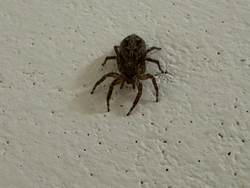
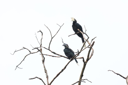
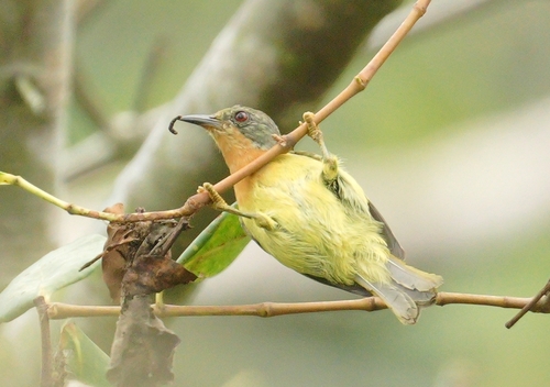
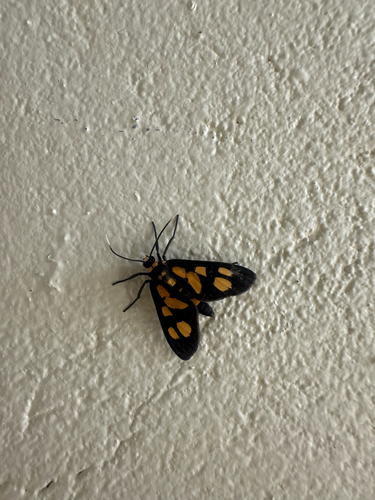
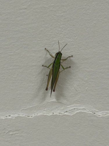
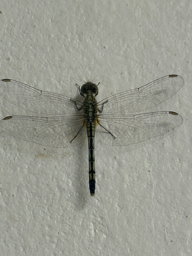
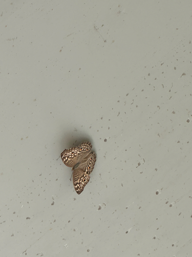
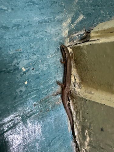
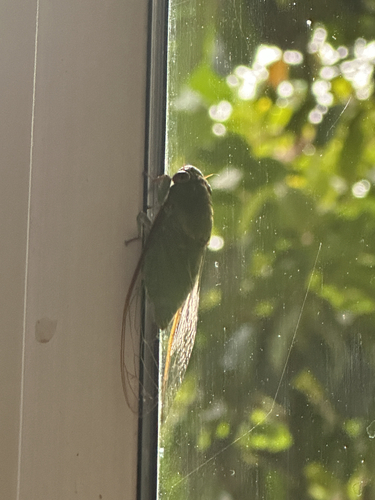
Research-grade observations from iNaturalist (within ~15 mi).
Events
Gallery
Sources
- • Wikipedia
- • Wikidata
- • USGS Earthquake Catalog (global feed)
- • GBIF (Global Biodiversity Information Facility)
- • iNaturalist