Browse / Malaysia / Selangor / Sepang
Sepang
Selangorcity

Sepang
Total population
324,585
Demographic figures from Department of Statistics Malaysia. Overview below cites Wikipedia and may reference a different year.
City facts
Facts from Wikidata (CC0).
Overview
The Sepang District is an administrative district located in the southern southernmost part of the state of Selangor in Malaysia. The district covers a gazetted local plan planning area of 619.00 km2 (239.00 sq mi) and had an estimated population of 338,600 in 2023.
Read more on WikipediaHistory & geography
History
Historically administered under neighbouring jurisdictions, the Sepang District was formally constituted on 1 January 1975 from the repartitioning of sections of the Hulu Langat (Kajang) and Kuala Langat districts. The municipal authority, the Sepang Municipal Council (Majlis Perbandaran Sepang), was established when local administration gained full municipal status in 2005. Under the statutory Sepang Municipal Council Local Plan 2035 (Replacement) prepared by PLANMalaysia, the district is targeted to transition toward full city council status (Majlis Bandaraya Sepang) by 2035, underpinned by the Integrated Development Region in South Selangor (IDRISS) initiative.
Geography
Sepang occupies the southern tip of Selangor facing the Strait of Malacca. It borders Kuala Langat to the west, Petaling to the north, Hulu Langat to the northeast, and the state of Negeri Sembilan (specifically Seremban and Port Dickson) across the Sepang River to the east and south. In addition, Sepang completely encompasses the federal administrative centre of Putrajaya. According to the 2035 Land Use Zoning data, the district's area is apportioned into housing (20.19%), transport corridors (19.29%), water bodies (11.10%), mixed-use development (9.79%), agriculture (9.50%), commercial (8.33%), industry (5.44%), forestry (4.36%), and public utilities and institutions.
Excerpted from the corresponding Wikipedia article (CC BY-SA).
Geography
Coordinates & boundaries from the US Census TIGER/Line shapefiles.
Climate
Air quality
Walkability
Amenities nearby
Wildlife & biodiversity
Most-observed species
- House CrowCorvus splendens Vieillot, 1817 · Aves918
- Javan MynaAcridotheres javanicus Cabanis, 1851 · Aves617
- Common MynaAcridotheres tristis (Linnaeus, 1766) · Aves477
- Yellow-vented BulbulPycnonotus goiavier (Scopoli, 1786) · Aves317
- Zebra DoveGeopelia striata (Linnaeus, 1766) · Aves312
- Pacific SwallowHirundo javanica Sparrman, 1789 · Aves291
- White-throated KingfisherHalcyon smyrnensis (Linnaeus, 1758) · Aves288
- Eurasian Tree SparrowPasser montanus (Linnaeus, 1758) · Aves285
Citizen-science & research observations from the Global Biodiversity Information Facility (GBIF).
Earthquake history
Events from the USGS Earthquake Catalog (global) (FDSN Event Web Service).
Photos
Sights & places nearby
Notable people from here

People born within ~10 km, from Wikidata (CC0). Click any name for their Wikipedia article.
Nearby places in Selangor
- Kampung Olak Lempit8.4 mi away
- Bandar Baru Bangi11.5 mi away
- Beranang12.3 mi away
- Kampung Seri Cheeding12.4 mi away
- Semenyih13.8 mi away · pop. 45,000
- Tanjung Sepat14 mi away
- Kampung Batu Laut15.4 mi away
- Kanchong Darat15.6 mi away
- Kampung Sungai Buaya17.5 mi away
- Kampung Pasir Baru17.8 mi away
- Sungai Raba18 mi away
- Kampung Kelanang18.5 mi away
Geography & sun
Elevation, sunrise/sunset and daylight from Open-Meteo. Solar climatology from NASA POWER.
Nearby airports
Public attention
Pageview totals from the Wikimedia Pageviews API.
Books about Sepang
Search results from Open Library.
Recent natural events nearby
Ground air-quality sensors
Recently spotted species
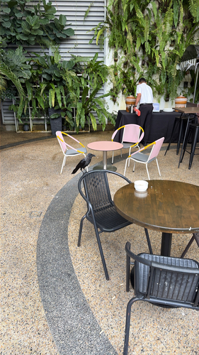
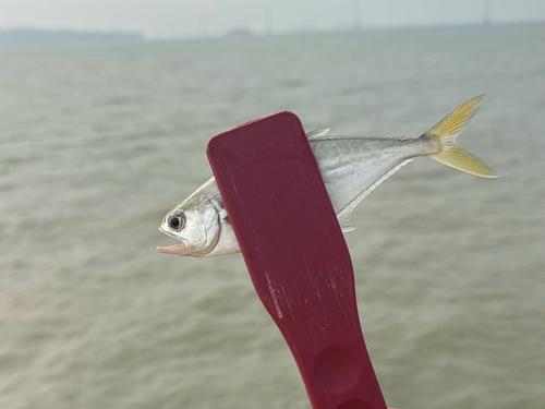
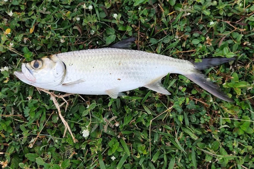
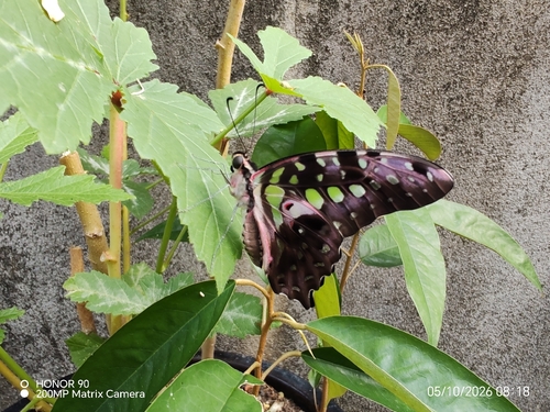
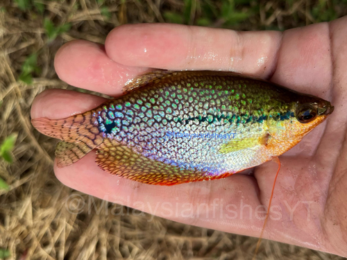
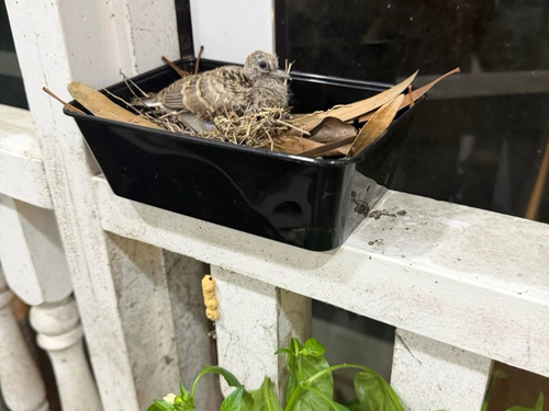
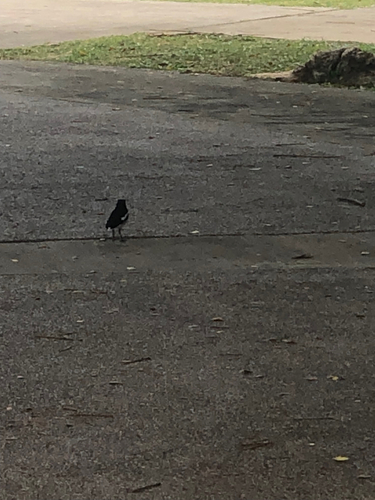
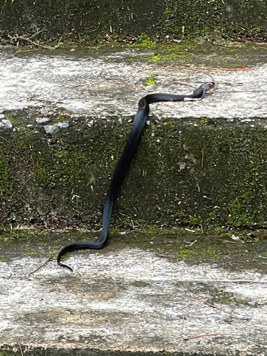
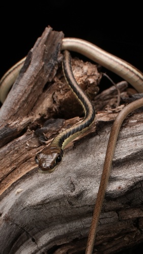
Research-grade observations from iNaturalist (within ~15 mi).
Events
Gallery
Sources
- • Wikipedia
- • Wikidata
- • USGS Earthquake Catalog (global feed)
- • GBIF (Global Biodiversity Information Facility)
- • iNaturalist
- • Open-Meteo / sunrise-sunset.org
- • Wikipedia Pageviews API
- • Open Library