Browse / Malaysia / Sarawak / Sibu
Sibu
Sarawakcity

Sibu
Total population
170,404
Founded
1862
Demographic figures from Department of Statistics Malaysia. Overview below cites Wikipedia and may reference a different year.
City facts
Sister cities
Facts from Wikidata (CC0).
Overview
Sibu is a city located in the central region of Sarawak, Malaysia. It serves as the capital of Sibu District within Sibu Division and is situated on the island of Borneo. Covering an area of 129.5 square kilometres (50.0 sq mi), the city is positioned at the confluence of the Rajang and Igan Rivers, approximately 60 kilometres from the South China Sea and 191.5 kilometres (119 mi) north-east of the state capital, Kuching.
Read more on WikipediaHistory & geography
History
In the 15th century, a historical event occurred in the region of southern Sarawak, which led to the displacement of immigrant Iban communities towards what is now known as the Sibu region. During the 17th and 18th centuries, the Rajang basin witnessed a series of tribal conflicts involving the Iban people and the indigenous populations residing in the same geographical area. These conflicts often resulted in skirmishes and confrontations. At times the Iban groups would establish informal alliances with the Malay communities in the vicinity. These alliances were occasionally utilised for joint actions, such as launching attacks on the Kayan tribes inhabiting the region and conducting raids on passing Chinese and Indonesian vessels that traversed through this particular area. In 1841, James Brooke acquired the territory of Sarawak, now known as Kuching, from the Bruneian Empire. Rajah Brooke, in 1862, oversaw the construction of Sibu Fort (commonly referred to as Fort Brooke), strategically situated at present-day Channel Road in Sibu. This fort played a pivotal role as an administrative center for the Brooke government in Sibu. It was customary for the White Rajah to erect such forts to assert territorial claims and provide protection. The existence of Sibu Fort is substantiated by historical accounts which described its location and history: On 13 May 1870, the fort faced an attack by 3,000 Kanowit Dayaks, led by a Dayak chief named Lintong (Mua-ri). They attempted to breach the fort's doors with axes but were eventually repelled by the Brooke administration. As per records from the Sarawak Gazette on 24 January 1871, Sibu boasted 60 wooden shops. In 1873, the town of Sibu was incorporated into the newly created third division of Sarawak. These early Chinese…
Geography
Sibu is located near the Rajang delta at the confluence of Rajang and Igan rivers. Peat swamp forests and alluvial plains are particularly prevalent in the Sibu Division. Sibu is located on a deep peat soil, which has caused problems in infrastructure development because buildings and roads slowly sink into the ground after its completion. The location of Sibu in lowland peat swamps have subjected it to frequent floods, about 1 to 3 times per year. Because of these factors, the Sibu Flood Mitigation project was started to relieve the area from the floods. The highest elevation in Sibu is at Bukit Aup Jubilee Park, measuring 59 m above sea level. with relative humidity between 80 and 87%. Sibu receives between 4 and 5 hours of sunlight per day with yearly average daily values of global solar radiation of 15.2 MJ/m2. Cloud cover over Sibu reduces during the months of June and July (6.75 Oktas) but increases from November to February (7 Oktas).
Excerpted from the corresponding Wikipedia article (CC BY-SA).
Geography
Coordinates & boundaries from the US Census TIGER/Line shapefiles.
Climate
Air quality
Walkability
Amenities nearby
Wildlife & biodiversity
Most-observed species
- Black HornbillAnthracoceros malayanus (Raffles, 1822) · Aves333
- Little Green-PigeonTreron olax (Temminck, 1823) · Aves211
- Crested Serpent-EagleSpilornis cheela (Latham, 1790) · Aves206
- Green Imperial-PigeonDucula aenea (Linnaeus, 1766) · Aves197
- Yellow-vented BulbulPycnonotus goiavier (Scopoli, 1786) · Aves190
- Asian Glossy StarlingAplonis panayensis (Scopoli, 1786) · Aves174
- Jerdon's BazaAviceda jerdoni (Blyth, 1842) · Aves169
- Blue-throated Bee-eaterMerops viridis Linnaeus, 1758 · Aves153
Citizen-science & research observations from the Global Biodiversity Information Facility (GBIF).
Earthquake history
Events from the USGS Earthquake Catalog (global) (FDSN Event Web Service).
Photos
Sights & places nearby
Notable people from here


People born within ~10 km, from Wikidata (CC0). Click any name for their Wikipedia article.
Nearby places in Sarawak
Geography & sun
Elevation, sunrise/sunset and daylight from Open-Meteo. Solar climatology from NASA POWER.
Nearby airports
Public attention
Pageview totals from the Wikimedia Pageviews API.
Books about Sibu
Search results from Open Library.
Recent natural events nearby
Ground air-quality sensors
Recently spotted species
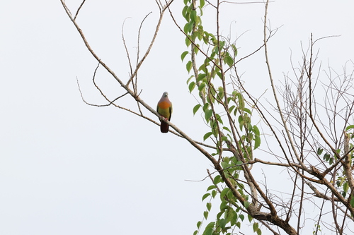
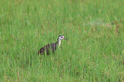
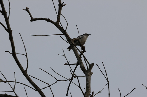
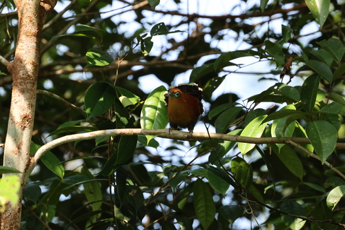
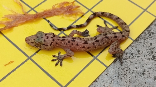
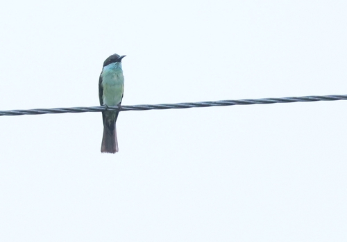
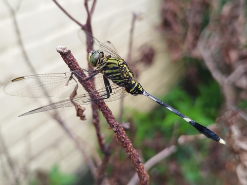
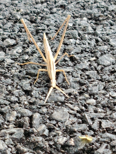
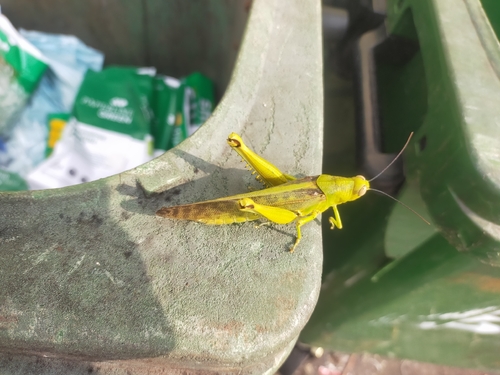
Research-grade observations from iNaturalist (within ~15 mi).
Events
Gallery
Sources
- • Wikipedia
- • Wikidata
- • USGS Earthquake Catalog (global feed)
- • GBIF (Global Biodiversity Information Facility)
- • iNaturalist
- • Open-Meteo / sunrise-sunset.org
- • Wikipedia Pageviews API
- • Open Library