Browse / Malaysia / Selangor / Simpang Tiga Loji
Simpang Tiga Loji
Selangorvillage
Demographic figures from Department of Statistics Malaysia. Overview below cites Wikipedia and may reference a different year.
City facts
Overview
Simpang Tiga Loji is a village in Selangor, Malaysia. Coordinates of 3.655°, 101.008° situate Simpang Tiga Loji in the equatorial zone of the northern hemisphere. No reliable population estimate is published for this entry in the open data we rely on. Its latitude implies a climate characterised by hot and humid year-round with little seasonal temperature variation. Continue scrolling for population, climate, environmental and points-of-interest data drawn from public sources.
Summary composed automatically from structured open data on this page. See our Terms for details.
History & geography
Geography
Coordinates & boundaries from the US Census TIGER/Line shapefiles.
Climate
Air quality
Walkability
Amenities nearby
Wildlife & biodiversity
Most-observed species
- Javan MynaAcridotheres javanicus Cabanis, 1851 · Aves86
- White-throated KingfisherHalcyon smyrnensis (Linnaeus, 1758) · Aves84
- Little Egret/Western Reef-HeronEgretta garzetta (Linnaeus, 1766) · Aves76
- Eurasian Tree SparrowPasser montanus (Linnaeus, 1758) · Aves73
- Spotted DoveSpilopelia chinensis (Scopoli, 1786) · Aves68
- House CrowCorvus splendens Vieillot, 1817 · Aves66
- Brown ShrikeLanius cristatus Linnaeus, 1758 · Aves62
- Zebra DoveGeopelia striata (Linnaeus, 1766) · Aves61
Citizen-science & research observations from the Global Biodiversity Information Facility (GBIF).
Earthquake history
Events from the USGS Earthquake Catalog (global) (FDSN Event Web Service).
Photos
Sights & places nearby
Notable people from here


People born within ~10 km, from Wikidata (CC0). Click any name for their Wikipedia article.
Nearby places in Selangor
- Kampung Sungai Haji Dorani1.4 mi away
- Kampung Sungai Nibong5.1 mi away
- Bagan Terap7.3 mi away
- Sabak Bernam7.7 mi away · pop. 106,158
- Bagan Terap10 mi away
- Sekinchan12.2 mi away · pop. 30,000
- Parit Baru15.9 mi away
- Sungai Lang16.8 mi away
- Kampung Sungai Gulang-Gulang21.3 mi away
- Kampung Seri Tiram Jaya21.6 mi away
- Kampung Seri Kledang24 mi away
- FELDA Gedangsa26.5 mi away
Geography & sun
Nearby airports
Public attention
Books about this place
Recent natural events nearby
Ground air-quality sensors
Recently spotted species
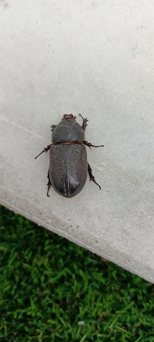
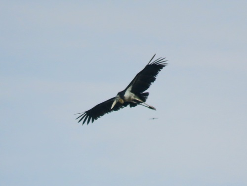
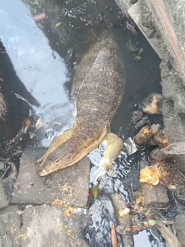
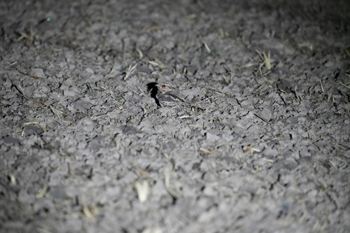
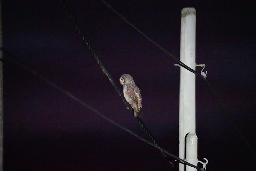
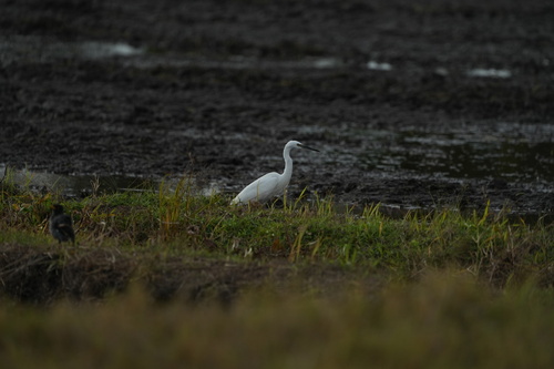
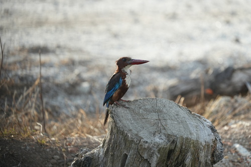
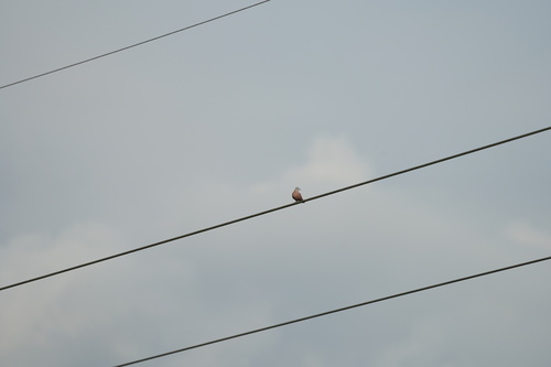
Research-grade observations from iNaturalist (within ~15 mi).
Events
Gallery
Sources
- • Wikidata
- • USGS Earthquake Catalog (global feed)
- • GBIF (Global Biodiversity Information Facility)
- • iNaturalist