Browse / Malaysia / Sabah / Sumbilingon
Sumbilingon
Sabahvillage
Air quality index
Demographic figures from Department of Statistics Malaysia. Overview below cites Wikipedia and may reference a different year.
City facts
Overview
As a village in Sabah, Malaysia, Sumbilingon occupies its own corner of the country. Up-to-date population figures for this locality are not available in the open datasets we monitor. On the world map it falls within the Eastern Hemisphere, specifically at 6.186°, 116.959°. The latitude suggests hot and humid year-round with little seasonal temperature variation. The location receives about 1,838 kWh/m² of solar irradiance per year and sunshine for roughly 72% of daylight hours. The sections below expand on demographics, weather, terrain, hazards and nearby points of interest using publicly available datasets.
Summary composed automatically from structured open data on this page. See our Terms for details.
History & geography
Geography
Coordinates & boundaries from the US Census TIGER/Line shapefiles.
Climate
Air quality
Current readings from Open-Meteo Air Quality API (Copernicus CAMS European reanalysis).
Walkability
Amenities nearby
Wildlife & biodiversity
Most-observed species
- North Philippine Temple PitviperTropidolaemus subannulatus (Gray, 1842) · Squamata8
- Malayan Horned FrogMegophrys nasuta (Schlegel, 1858) · Amphibia5
- Pyrops sultanus (Adams & White, 1847)Pyrops sultanus (Adams & White, 1847) · Insecta4
- Rafflesia keithii MeijerRafflesia keithii Meijer · Magnoliopsida3
- Borneo Forest DragonGonocephalus bornensis (Schlegel, 1851) · Squamata3
- Bornean Tree Hole FrogMetaphrynella sundana (Peters, 1867) · Amphibia2
- White-spotted Tree FrogNyctixalus pictus (Peters, 1871) · Amphibia2
- Trefoil Horseshoe BatRhinolophus trifoliatus Temminck, 1834 · Mammalia2
Citizen-science & research observations from the Global Biodiversity Information Facility (GBIF).
Earthquake history
Most recent
- M 4.3 — 2025-07-2226 km SSW of Kudat, Malaysia
- M 4.5 — 2019-08-0368 km ENE of Ranau, Malaysia
- M 5.2 — 2018-03-0816 km NNW of Ranau, Malaysia
- M 4.3 — 2018-01-0536 km W of Taman Rajawali, Malaysia
- M 4.6 — 2015-07-2641 km NNE of Ranau, Malaysia
- M 4.5 — 2015-06-2322 km NNW of Ranau, Malaysia
Events from the USGS Earthquake Catalog (global) (FDSN Event Web Service).
Photos
Sights & places nearby
Notable people from here
Nearby places in Sabah
Geography & sun
Elevation, sunrise/sunset and daylight from Open-Meteo. Solar climatology from NASA POWER.
Nearby airports
Public attention
Books about this place
Recent natural events nearby
Ground air-quality sensors
Recently spotted species
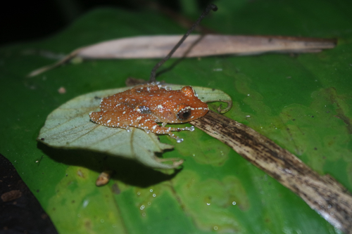
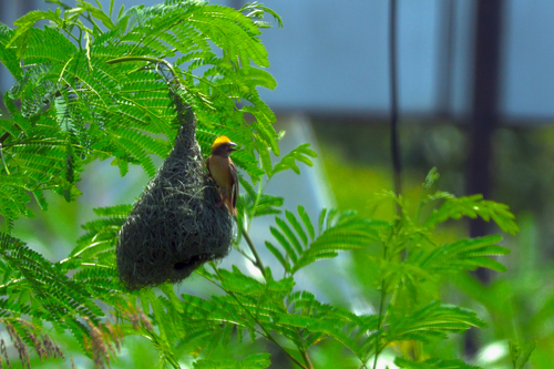
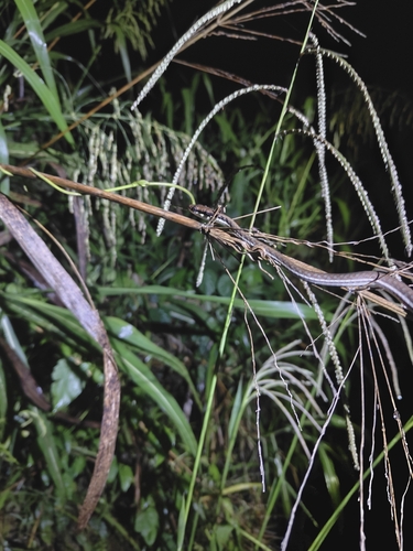
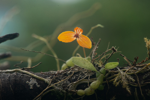
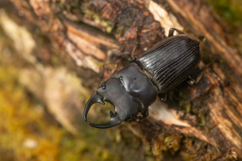
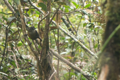
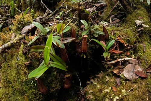
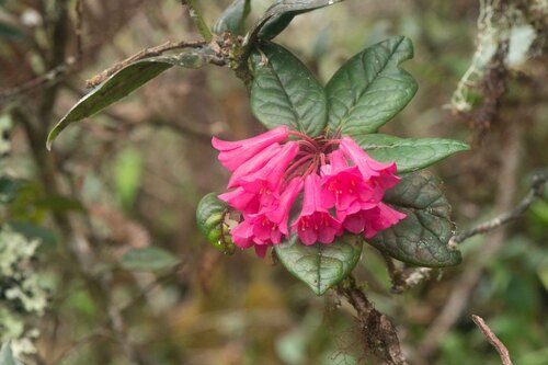
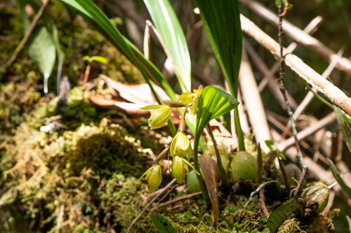
Research-grade observations from iNaturalist (within ~15 mi).
Events
Gallery
Sources
- • Wikidata
- • Open-Meteo Air Quality (CAMS)
- • USGS Earthquake Catalog (global feed)
- • GBIF (Global Biodiversity Information Facility)
- • iNaturalist
- • Open-Meteo / sunrise-sunset.org