Browse / Malaysia / Perak / Tapah Road
Tapah Road
Peraktown

Tapah Road
Demographic figures from Department of Statistics Malaysia. Overview below cites Wikipedia and may reference a different year.
City facts
Overview
Tapah Road is a small town in Batang Padang District, Perak, Malaysia. The population consists of 40% Muslim Malays, 30% Chinese, 20% Indians and a few indigenous.
Read more on WikipediaHistory & geography
History
Tapah Road was of greater importance in early to mid-20th century because of its railway station, Tapah Road railway station, the second oldest in Malaysia. The station officially opened on 15 May 1895, with a railway to Teluk Intan. The station was, and still is, linked to the main railway line from Butterworth to Singapore. Tapah Road was considered a major stop because it was the gateway to Cameron Highlands, the cold highland resort which was popular with the British colonial officers. The town became relatively less important in terms of economic activities in the region as road vehicles gained popularity beginning in the 1970s. The train service between Tapah Road and Teluk Intan had been terminated in 1991 and most of the railtrack is no longer in place. Tapah Road railway station was rebuilt in 2007 as part of the duplication and electrification of the main railway line. It is now served by the Kuala Lumpur-Ipoh Electric Train Service (ETS) and the Kuala Lumpur-Butterworth KTM Intercity. The town is on the road leading to Tapah and thus led to its name. This name has drawn some criticism from local Malay linguists because it has a colonial 'stain' on it. A number of towns in Perak also have this 'stain' such as Slim River, Port Weld (now Kuala Sepetang) and Teluk Anson (now Teluk Intan). Tapah Road maintained its name because the equivalent version in Malay ('Jalan Tapah') is also not suitable because it is not named after a road, but a town.
Excerpted from the corresponding Wikipedia article (CC BY-SA).
Geography
Coordinates & boundaries from the US Census TIGER/Line shapefiles.
Climate
Air quality
Walkability
Amenities nearby
Wildlife & biodiversity
Earthquake history
Photos
Sights & places nearby
Notable people from here

People born within ~10 km, from Wikidata (CC0). Click any name for their Wikipedia article.
Nearby places in Perak
Geography & sun
Elevation, sunrise/sunset and daylight from Open-Meteo. Solar climatology from NASA POWER.
Nearby airports
Public attention
Pageview totals from the Wikimedia Pageviews API.
Books about this place
Recent natural events nearby
Ground air-quality sensors
Recently spotted species
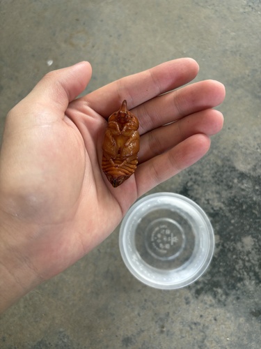
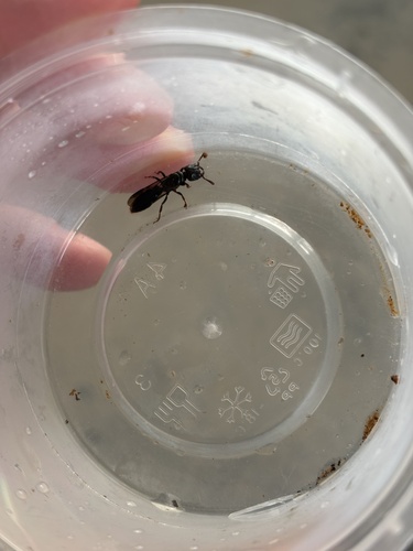

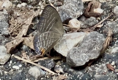

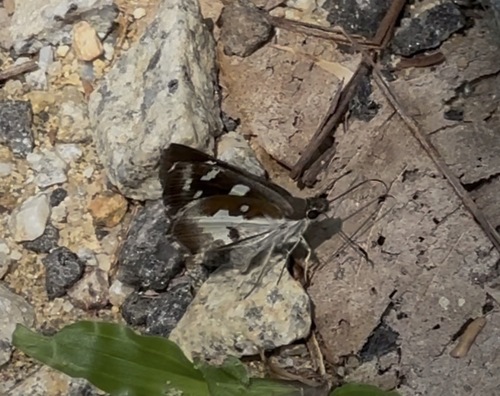
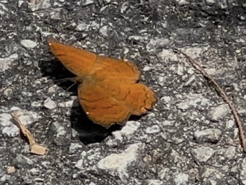

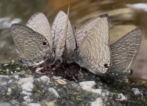
Research-grade observations from iNaturalist (within ~15 mi).
Events
Gallery
Sources
- • Wikipedia
- • Wikidata
- • iNaturalist
- • Open-Meteo / sunrise-sunset.org
- • Wikipedia Pageviews API