Browse / Malaysia / Sabah / Tawau
Tawau
Sabahcity

Tawau
Total population
420,806
Founded
1658
Demographic figures from Department of Statistics Malaysia. Overview below cites Wikipedia and may reference a different year.
City facts
Facts from Wikidata (CC0).
Overview
Tawau is the capital of the Tawau District in Sabah, Malaysia. It is the third-largest city in Sabah, after Kota Kinabalu and Sandakan. It is located on the Semporna Peninsula in the southeast coast of the state in the administrative centre of Tawau Division, which is bordered by the Sulu Sea to the east, the Celebes Sea to the south at Cowie Bay and shares a border with North Kalimantan, Indonesia. The town had an estimated population as of 2010, of 113,809, while the whole municipality area had a population of 397,673. The municipal area had a population of 372,615 at the 2020 Census.
Read more on WikipediaHistory & geography
History
Like most of this part of Borneo, this area was once under the control of the Bruneian Empire in the 15th century before being ceded to the Sultanate of Sulu between the 17th and 18th centuries as a gift for helping the Bruneian forces during a civil war in Brunei. The name Tawao was used on nautical charts by 1857, and there is evidence of a settlement by 1879. The East India Company had established a trading post in Borneo, though there was no significant activity by the Dutch on the east coast. The Provisional Association negotiated in the 1880s with the Dutch for a definition of a boundary between the area conferred by the Sultan of Sulu and the area that the Dutch claimed from Sultan of Bulungan to settle a dispute that arose from the unknown exact location of the real border between the territory that was held by the Sultanate of Sulu and the Sultanate of Bulungan. In the early 1890s, approximately 200 people lived in the Tawao settlement, mostly immigrants from Bulungan in Kalimantan, and some from Tawi-Tawi who had fled from Dutch and Spanish rule. The settlement was renamed from Tawao to Tawau. Most of those who fled from the Dutch colonisation continued trading with the Dutch. On 16 December 1941, during World War II, the Japanese invasion of Borneo began. After the first landing in Miri, the Japanese moved along the coastline of Borneo from the oil fields of Kuching and towards Jesselton. Life in Tawau continued as usual until 24 January 1942 when the Japanese were sighted off Batu Tinagat. The district officer Cole Adams and his assistant were expecting an attack at the shipyard but were instead arrested by the Japanese. The Allies began counterattacking the Japanese in mid-1944 with the bombing of Tawau. From 13 April 1945, six massive air strikes were…
Geography
Tawau is on the south-east coast of Sabah surround by the Sulu Sea in the east, Celebes Sea to the south and shares a border with East Kalimantan (now North Kalimantan). The town is approximately 1,904 kilometres from the Malaysian capital, Kuala Lumpur and is 540 kilometres south-east of Kota Kinabalu. The main town area is divided into three sections named Sabindo, Fajar and Tawau Lama (Old Tawau). Sabindo and Fajar are the main commercial areas while Tawau Lama is the original part of Tawau. Almost 70% of the area surrounding Tawau is either high hills or mountainous. Among the major peaks surrounding the Tawau includes Mount Maria (1,067 metres), Mount Magdalena (1,310 metres) and Mount Lucia (1,201 metres). The town is bordered by Cowie Bay towards the south. The bay is recorded as a home for several species of dolphin, including Indo-Pacific humpback dolphin and Irrawaddy dolphin. The only volcano in Malaysia is located in Tawau. The Bombalai Volcano contains a 300-meter crater that straddles to the south. Tawau has a tropical rainforest climate under the Köppen climate classification. The climate is relatively hot and wet with average shade temperature about , with at noon and falling to around at night. The town sees precipitation throughout the year, with a tendency for November, December and January to be the wettest months, while February and March are the driest months. Tawau's mean rainfall varies from 1800 mm to 2500 mm.
Excerpted from the corresponding Wikipedia article (CC BY-SA).
Geography
Coordinates & boundaries from the US Census TIGER/Line shapefiles.
Climate
Air quality
Walkability
Amenities nearby
Wildlife & biodiversity
Earthquake history
Photos
Sights & places nearby
Notable people from here


People born within ~10 km, from Wikidata (CC0). Click any name for their Wikipedia article.
Nearby places in Sabah
Geography & sun
Elevation, sunrise/sunset and daylight from Open-Meteo. Solar climatology from NASA POWER.
Nearby airports
Public attention
Pageview totals from the Wikimedia Pageviews API.
Books about Tawau
Search results from Open Library.
Recent natural events nearby
Ground air-quality sensors
Recently spotted species
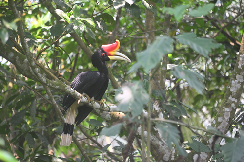
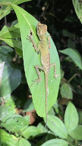
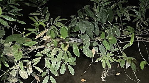
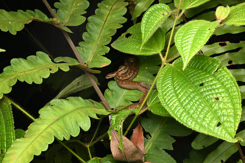
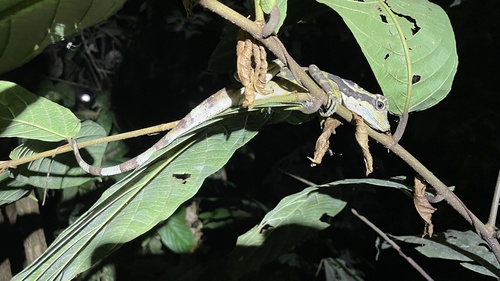
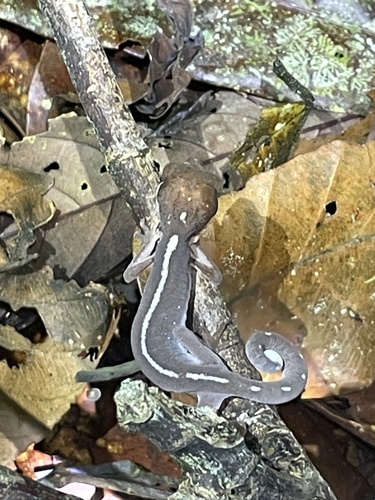
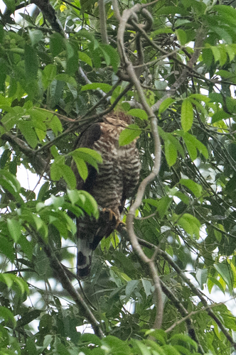
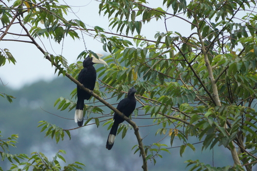
Research-grade observations from iNaturalist (within ~15 mi).
Events
Gallery
Sources
- • Wikipedia
- • Wikidata
- • iNaturalist
- • Open-Meteo / sunrise-sunset.org
- • Wikipedia Pageviews API
- • Open Library