Browse / Malaysia / Pahang / Temerloh
Temerloh
Pahangcity

Temerloh
Total population
169,023
Founded
1889
Demographic figures from Department of Statistics Malaysia. Overview below cites Wikipedia and may reference a different year.
City facts
Facts from Wikidata (CC0).
Overview
Temerloh is a municipality in central Pahang, Malaysia. Located about 130 kilometres (81 mi) from Kuala Lumpur along the Kuantan–Kuala Lumpur trunk road, Temerloh is the second largest urban area in Pahang after Kuantan, the state capital city. It is situated at the confluence of the Pahang and Semantan Rivers. Today, Temerloh usually refers to the territory under the administration of Temerloh Municipal Council which includes Mentakab, Lanchang, Kuala Krau and Kerdau.
Read more on WikipediaHistory & geography
History
According to Haji Zakaria Hitam, the modern-day Temerloh developed from a small settlement called Kuala Semantan. Kuala Semantan was actually a small old village at the bank of Semantan River. According to the folk story, the name Semantan came from the words Seman Tahan. Osman, or Seman Tahan as the villagers called him, is a Bruneian who settled at the small river connected to Pahang River. He mastered the martial art of silat, thus many people came all the way and settled here to learn silat from him. As Seman Tahan became popular among the villagers, they named the river Seman Tahan River. Thus, the town near the river was called Kuala Seman Tahan ( in Malay means 'river confluence'). The name Seman Tahan gradually became Semantan. The Temerloh district, on the other hand was established on July 1, 1889, when J. P. Rodger, the first Pahang Resident divided Pahang state into six smaller administration areas (districts): Pekan, Rompin, Kuala Pahang, Kuantan, Temerloh and Hulu Pahang. The capital of Temerloh district then (1 July 1889) was Kuala Semantan. As Kuala Semantan begin to develop rapidly, the name Kuala Semantan was thought unsuitable as the only refers to the river confluence. Hence, Kuala Semantan changed its name to Temerloh. Before the British colonization, Temerloh was governed by several headvillagers (village level) and (dignitaries) under the Pahang's administration of the Orang Besar System. The Temerloh people (then) were mainly Malay and Orang Asli; however, there were also small groups of Chinese and Arabs there.
Excerpted from the corresponding Wikipedia article (CC BY-SA).
Geography
Coordinates & boundaries from the US Census TIGER/Line shapefiles.
Climate
10-year averages from ERA5 reanalysis (Open-Meteo).
Air quality
Walkability
Amenities nearby
Wildlife & biodiversity
Most-observed species
- Rock PigeonColumba livia J.F.Gmelin, 1789 · Aves44
- Common AmberwingBrachythemis contaminata (Fabricius, 1793) · Insecta18
- Asian OpenbillAnastomus oscitans (Boddaert, 1783) · Aves16
- Bitter gourd, Bitter melon, Bitter balsam apple, Balsam apple, Wild balsam-apple, Bitter apple, Bitter squash, Bitter cucumber, Bitter gourd, Carilla gourd, Carilla bush, Balsam Pear, Jumbee pumpkin, Maiden appleMomordica charantia L. · Magnoliopsida14
- Red JunglefowlGallus gallus (Linnaeus, 1758) · Aves12
- Asian Weaver AntOecophylla smaragdina (Fabricius, 1775) · Insecta11
- sliderTrachemys scripta (Thunberg In Schoepff, 1792) · Testudines11
- Transverse lady beetleCoccinella transversalis Fabricus, 1781 · Insecta11
Citizen-science & research observations from the Global Biodiversity Information Facility (GBIF).
Earthquake history
Events from the USGS Earthquake Catalog (global) (FDSN Event Web Service).
Photos
Sights & places nearby
Notable people from here


People born within ~10 km, from Wikidata (CC0). Click any name for their Wikipedia article.
Nearby places in Pahang
Geography & sun
Elevation, sunrise/sunset and daylight from Open-Meteo. Solar climatology from NASA POWER.
Nearby airports
Public attention
Pageview totals from the Wikimedia Pageviews API.
Books about Temerloh
Search results from Open Library.
Recent natural events nearby
Ground air-quality sensors
Recently spotted species
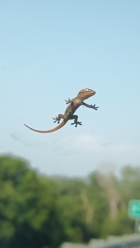
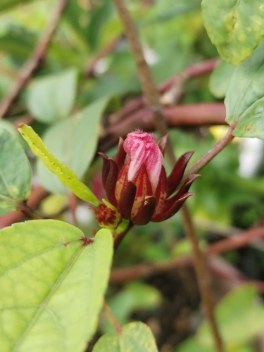
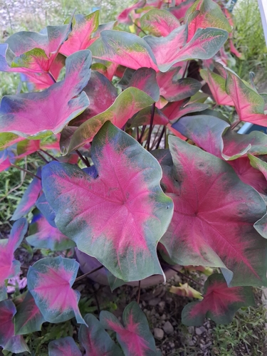
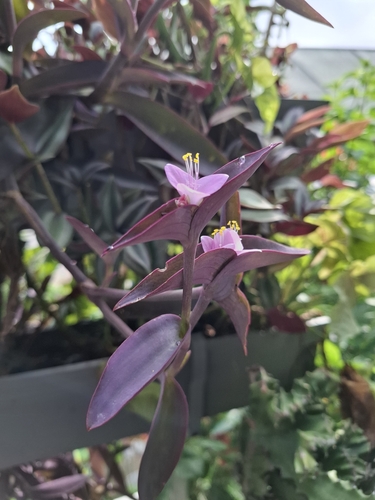
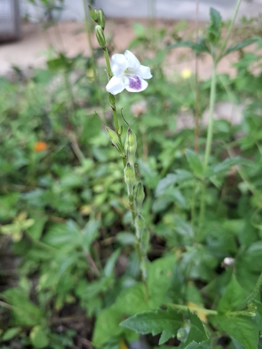
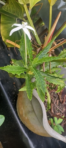
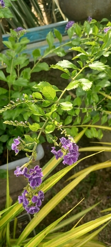
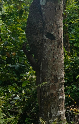
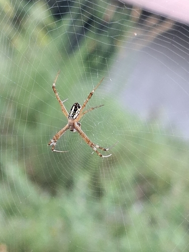
Research-grade observations from iNaturalist (within ~15 mi).
Events
Gallery
Geotagged photos within ~6 miles of Temerloh, from Wikimedia Commons contributors.
 0.3 mi
 0.3 mi
 0.3 mi
 0.3 mi
 0.3 mi
 0.5 mi
 2.1 mi
 2.8 mi
 3.7 mi
 3.7 mi
 3.7 mi
,_Lebuhraya_Karak_20240228_163214.jpg) 4.5 mi
4.5 mi,_Lebuhraya_Karak_20240228_163349.jpg) 4.5 mi
4.5 mi,_Lebuhraya_Karak_20240228_163254.jpg) 4.5 mi
4.5 mi,_Lebuhraya_Karak_20240228_163359.jpg) 4.5 mi
4.5 mi,_Lebuhraya_Karak_20240228_160503.jpg) 4.5 mi
4.5 mi 5.7 mi
 5.7 mi
 5.7 mi
 5.7 mi
 5.7 mi
 5.7 mi
 5.7 mi
 5.8 mi
Photos via Wikimedia Commons — see each image page for license & attribution.
Sources
- • Wikipedia
- • Open-Meteo (ERA5 reanalysis)
- • Wikimedia Commons
- • Wikidata
- • USGS Earthquake Catalog (global feed)
- • GBIF (Global Biodiversity Information Facility)
- • iNaturalist
- • Open-Meteo / sunrise-sunset.org
- • Wikipedia Pageviews API
- • Open Library