Browse / Malaysia / Kelantan / Tumpat
Tumpat
Kelantantown

Tumpat
Total population
153,976
Air quality index
Demographic figures from Department of Statistics Malaysia. Overview below cites Wikipedia and may reference a different year.
City facts
Overview
Tumpat is a town, a district (jajahan) and parliamentary constituency in northern Kelantan, Malaysia, at the mouth of Kelantan River.
Read more on WikipediaHistory & geography
History
Tumpat district was established on 1 January 1949, detaching from Kota Bharu metropolitan area.
Geography
Tumpat is the northernmost constituency in Kelantan, bordering Thailand across the Golok River to the west, Kota Bharu across the Kelantan River to the east, and Pasir Mas to the south, and the Thai district of Tak Bai to the west.
Excerpted from the corresponding Wikipedia article (CC BY-SA).
Geography
Coordinates & boundaries from the US Census TIGER/Line shapefiles.
Climate
10-year averages from ERA5 reanalysis (Open-Meteo).
Air quality
Current readings from Open-Meteo Air Quality API (Copernicus CAMS European reanalysis).
Walkability
Amenities nearby
Wildlife & biodiversity
Most-observed species
- Yellow-vented BulbulPycnonotus goiavier (Scopoli, 1786) · Aves99
- Zebra DoveGeopelia striata (Linnaeus, 1766) · Aves91
- Spotted DoveSpilopelia chinensis (Scopoli, 1786) · Aves91
- Collared KingfisherTodiramphus chloris (Boddaert, 1783) · Aves83
- Javan MynaAcridotheres javanicus Cabanis, 1851 · Aves76
- Little CormorantMicrocarbo niger (Vieillot, 1817) · Aves71
- Asian Glossy StarlingAplonis panayensis (Scopoli, 1786) · Aves70
- Little Egret/Western Reef-HeronEgretta garzetta (Linnaeus, 1766) · Aves68
Citizen-science & research observations from the Global Biodiversity Information Facility (GBIF).
Earthquake history
Events from the USGS Earthquake Catalog (global) (FDSN Event Web Service).
Photos
Sights & places nearby
Notable people from here


People born within ~10 km, from Wikidata (CC0). Click any name for their Wikipedia article.
Nearby places in Kelantan
- Kondoa4643.4 mi away · pop. 80,443
- Timeyo Village4911 mi away
- Choloba Village4969.3 mi away
- Kasiya4984.1 mi away
- Soini5459.1 mi away · pop. 2,367
- Rađenovci5671.5 mi away · pop. 2
- Rajčići5673.1 mi away · pop. 4
- Rajić5674.4 mi away · pop. 875
- Kričke5674.4 mi away · pop. 23
- Roždanik5675.9 mi away · pop. 262
- Brezovac5676.6 mi away · pop. 9
- Jazavica5677 mi away · pop. 398
Geography & sun
Elevation, sunrise/sunset and daylight from Open-Meteo. Solar climatology from NASA POWER.
Nearby airports
Public attention
Pageview totals from the Wikimedia Pageviews API.
Books about Tumpat

Search results from Open Library.
Recent natural events nearby
Ground air-quality sensors
Recently spotted species
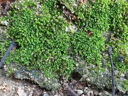
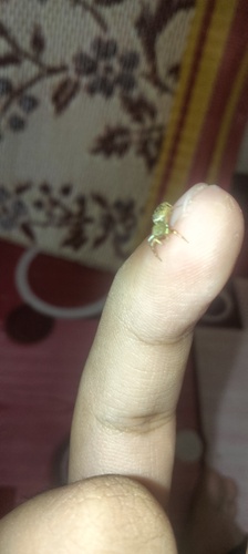
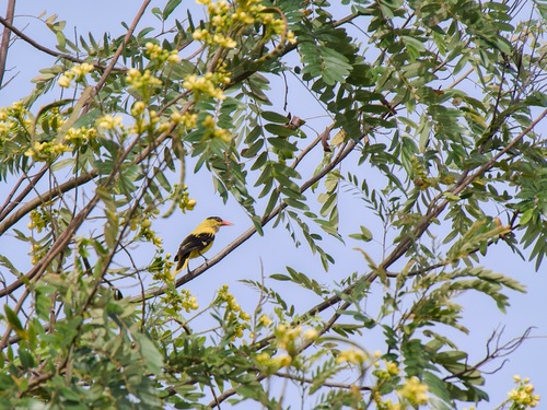
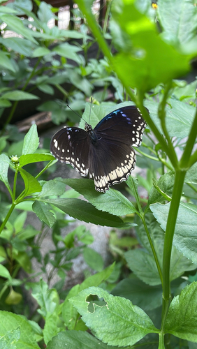
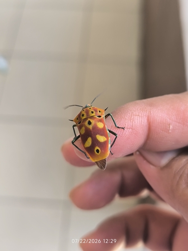
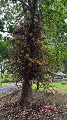
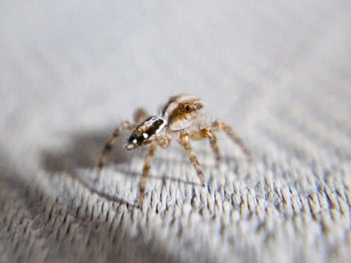
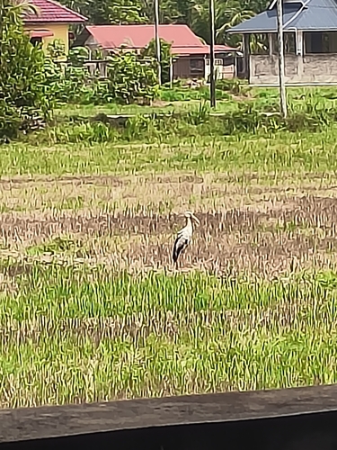

Research-grade observations from iNaturalist (within ~15 mi).
Events
Gallery
Sources
- • Wikipedia
- • Open-Meteo (ERA5 reanalysis)
- • Wikidata
- • Open-Meteo Air Quality (CAMS)
- • USGS Earthquake Catalog (global feed)
- • GBIF (Global Biodiversity Information Facility)
- • iNaturalist
- • Open-Elevation
- • Open-Meteo / sunrise-sunset.org
- • Wikipedia Pageviews API
- • Open Library