Browse / Malaysia / Sabah / Ungkup
Ungkup
Sabahvillage
Air quality index
Demographic figures from Department of Statistics Malaysia. Overview below cites Wikipedia and may reference a different year.
City facts
Overview
Found in Sabah, Malaysia, Ungkup is classified as a village in public datasets. No reliable population estimate is published for this entry in the open data we rely on. Its coordinates of 6.836°, 117.132° place it in the equatorial zone of the northern hemisphere. Open solar datasets indicate about 1,857 kWh/m² of solar irradiance per year, combined with sunshine for roughly 73% of daylight hours. Its latitude implies a climate characterised by hot and humid year-round with little seasonal temperature variation. Read on for charts and tables covering demographics, climate, hazards, schools, wildlife and other open-data indicators for Ungkup.
Summary composed automatically from structured open data on this page. See our Terms for details.
History & geography
Geography
Coordinates & boundaries from the US Census TIGER/Line shapefiles.
Climate
Air quality
Current readings from Open-Meteo Air Quality API (Copernicus CAMS European reanalysis).
Walkability
Amenities nearby
Wildlife & biodiversity
Most-observed species
- Scalloped HammerheadSphyrna lewini (Griffith & Smith, 1834) · Elasmobranchii5
- brownbanded bamboosharkChiloscyllium punctatum Müller & Henle, 1838 · Elasmobranchii4
- Spot-tail shark, Spottail sharkCarcharhinus sorrah (Müller & Henle, 1839) · Elasmobranchii4
- Cinnamon-headed PigeonTreron fulvicollis (Wagler, 1827) · Aves4
- Whitespotted wedgefishRhynchobatus australiae Whitley, 1939 · Elasmobranchii3
- sicklefin weasel sharkHemigaleus microstoma Bleeker, 1852 · Elasmobranchii2
- Asian Glossy StarlingAplonis panayensis (Scopoli, 1786) · Aves2
- leaf coralPavona decussata (Dana, 1846) · Anthozoa1
Citizen-science & research observations from the Global Biodiversity Information Facility (GBIF).
Earthquake history
Most recent
- M 7.1 — 2026-02-2257 km NNW of Kota Belud, Malaysia
- M 4.3 — 2025-07-2226 km SSW of Kudat, Malaysia
- M 4.9 — 2020-06-3048 km W of Kudat, Malaysia
- M 4.5 — 2019-08-0368 km ENE of Ranau, Malaysia
- M 4.6 — 2015-07-2641 km NNE of Ranau, Malaysia
- M 5.3 — 2015-06-1227 km N of Ranau, Malaysia
Events from the USGS Earthquake Catalog (global) (FDSN Event Web Service).
Photos
Sights & places nearby
Notable people from here
Nearby places in Sabah
Geography & sun
Elevation, sunrise/sunset and daylight from Open-Meteo. Solar climatology from NASA POWER.
Nearby airports
Public attention
Books about this place
Recent natural events nearby
Ground air-quality sensors
Recently spotted species

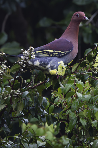
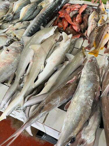
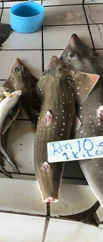
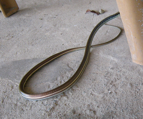
Research-grade observations from iNaturalist (within ~15 mi).
Events
Gallery
Geotagged photos within ~6 miles of Ungkup, from Wikimedia Commons contributors.

Photos via Wikimedia Commons — see each image page for license & attribution.
Sources
- • Wikimedia Commons
- • Wikidata
- • Open-Meteo Air Quality (CAMS)
- • USGS Earthquake Catalog (global feed)
- • GBIF (Global Biodiversity Information Facility)
- • iNaturalist
- • Open-Meteo / sunrise-sunset.org