Browse / Mozambique / Mozambique / Chalane
Chalane
Mozambiquevillage
Demographic figures from INE Mozambique. Overview below cites Wikipedia and may reference a different year.
City facts
Overview
Within Mozambique, Chalane stands as a village. Chalane maps to -14.465°, 40.653° — squarely within the tropical belt. Up-to-date population figures for this locality are not available in the open datasets we monitor. Solar-resource estimates put the area at about 2,060 kWh/m² of solar irradiance per year with sunshine for roughly 81% of daylight hours. Climatically, locations at this latitude tend to experience warm temperatures throughout the year with pronounced wet and dry seasons. Further detail — demographics, climate, nearby amenities and natural-hazard data — is compiled below from public open-data sources.
Summary composed automatically from structured open data on this page. See our Terms for details.
History & geography
Geography
Coordinates & boundaries from the US Census TIGER/Line shapefiles.
Climate
Air quality
Walkability
Amenities nearby
Wildlife & biodiversity
Earthquake history
Photos
Sights & places nearby
Notable people from here
Nearby places in Mozambique
- Mbachile مباشيلي255.4 mi away
- Mboudajou مبوداجو256.2 mi away
- Wanani257.3 mi away
- Bandamadji باندامادجي261.2 mi away
- Mnoungou274.1 mi away
- Mbéni275.1 mi away
- Douniani دونياني275.4 mi away
- Ouhozi أوهوزي276.4 mi away
- Buuni بوني276.4 mi away
- Itsandzéni إتساندزيني277 mi away
- Ouzio أوزيو279.9 mi away
- Souni288.2 mi away
Geography & sun
Elevation, sunrise/sunset and daylight from Open-Meteo. Solar climatology from NASA POWER.
Nearby airports
Public attention
Books about this place
Recent natural events nearby
Ground air-quality sensors
Recently spotted species
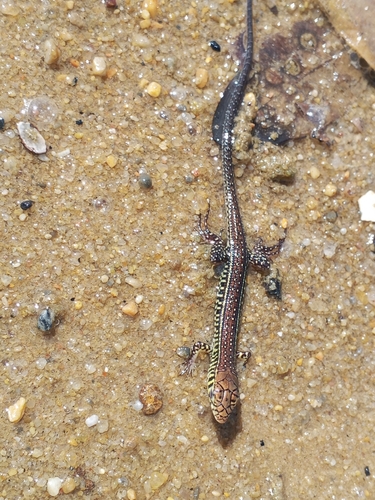
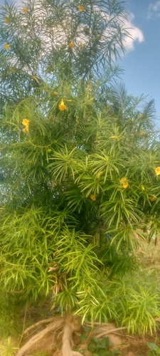
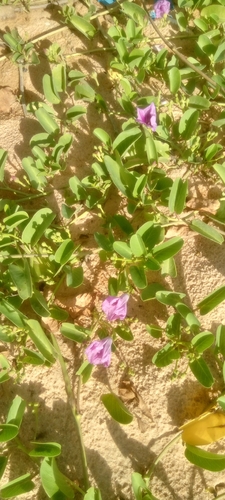
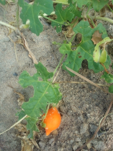
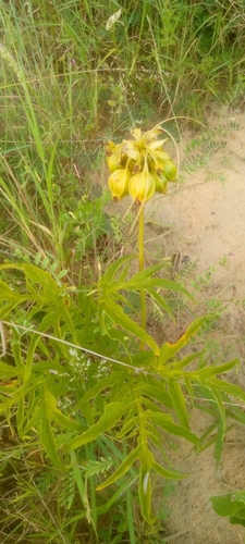
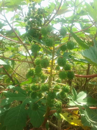
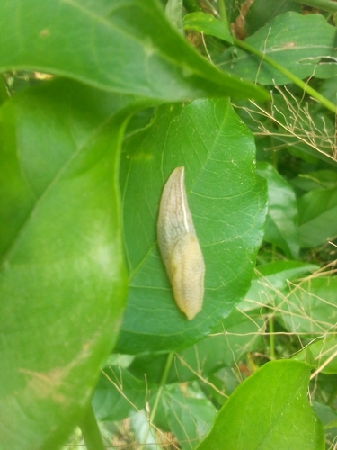
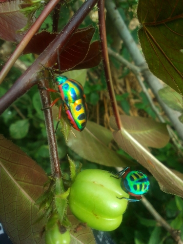
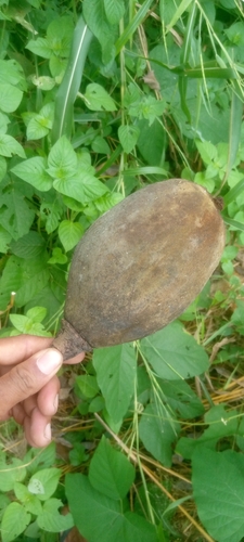
Research-grade observations from iNaturalist (within ~15 mi).
Events
Gallery
Sources
- • iNaturalist
- • Open-Meteo / sunrise-sunset.org