Browse / Mozambique / Mozambique / Nacala
Nacala
Mozambiquecity

Nacala
Total population
389,000
Air quality index
Demographic figures from INE Mozambique. Overview below cites Wikipedia and may reference a different year.
City facts
Facts from Wikidata (CC0).
Overview
Nacala is a city on the northern coast of Mozambique. Located in the southwestern indentation of inner Fernao Veloso Bay, it is the deepest natural port on the east coast of Africa. Nacala serves as the terminal for the Nacala railway, a rail line to the landlocked Malawi. South of Nacala is Mozambique Island, at one time the capital of Mozambique and now a World Heritage Site.
Read more on WikipediaHistory & geography
History
Nacala was founded as a little town and developed as a deep waters port and an industrial, agricultural and exporting centre during the last period of the Portuguese rule of the territory which ended in the mid-1970s. Among its major industries were cement, sisal and cashew. Other important employers were the seaport, its small modern hospital, and services (banking, insurance and administration).
Excerpted from the corresponding Wikipedia article (CC BY-SA).
Geography
Coordinates & boundaries from the US Census TIGER/Line shapefiles.
Climate
Air quality
Current readings from Open-Meteo Air Quality API (Copernicus CAMS European reanalysis).
Walkability
Amenities nearby
Wildlife & biodiversity
Most-observed species
- Rainbow SkinkTrachylepis margaritifera (Peters, 1854) · Squamata5
- BaobabAdansonia digitata L. · Magnoliopsida5
- Southern CordonbleuUraeginthus angolensis (Linnaeus, 1758) · Aves4
- Rattling CisticolaCisticola chiniana (A.Smith, 1843) · Aves4
- Miles' FirefishPterois miles (Bennett, 1828) · Animalia3
- Pied CrowCorvus albus Statius Muller, 1776 · Aves3
- Dark-capped BulbulPycnonotus tricolor (Hartlaub, 1862) · Aves3
- Bronze mannikinLonchura cucullata (Swainson, 1837) · Aves3
Citizen-science & research observations from the Global Biodiversity Information Facility (GBIF).
Earthquake history
Most recent
- M 4.9 — 2020-08-1165 km NNE of Nacala, Mozambique
- M 4.3 — 2019-05-2134 km E of Nacala, Mozambique
- M 4.4 — 2013-11-1256 km E of Nacala, Mozambique
- M 5 — 2012-02-1373 km NNE of Nacala, Mozambique
- M 4.3 — 2010-10-2459 km E of Mozambique, Mozambique
- M 4.5 — 2008-03-1775 km ENE of Mozambique, Mozambique
Events from the USGS Earthquake Catalog (global) (FDSN Event Web Service).
Photos
Sights & places nearby
Notable people from here

People born within ~10 km, from Wikidata (CC0). Click any name for their Wikipedia article.
Nearby places in Mozambique
- Ha Rants'etse1325.1 mi away
- Ha Mapeshoane1325.8 mi away
- Lehaheng1326.2 mi away
- Ha Mofoka1328.1 mi away
- Ha Mpo1329.3 mi away
- Ha 'Mantšebo1329.5 mi away
- Ha Mochekoane1329.7 mi away
- `Uqaqah1956.4 mi away · pop. 3,442
- Hazarah1980.3 mi away
- Darin1982 mi away · pop. 542
- Annah1982.2 mi away · pop. 1,188
- Manwar1982.7 mi away · pop. 653
Geography & sun
Elevation, sunrise/sunset and daylight from Open-Meteo. Solar climatology from NASA POWER.
Nearby airports
Public attention
Pageview totals from the Wikimedia Pageviews API.
Books about Nacala

Search results from Open Library.
Recent natural events nearby
Ground air-quality sensors
Recently spotted species
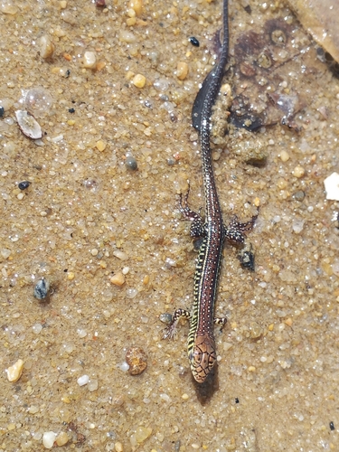
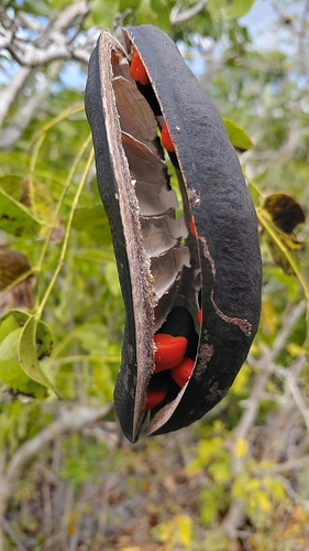
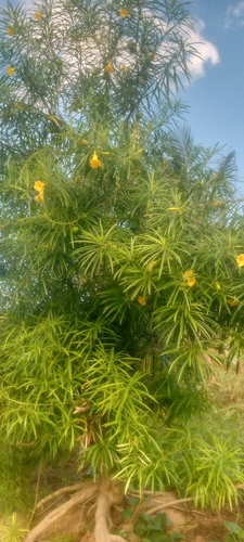
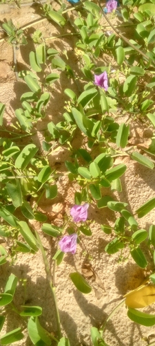
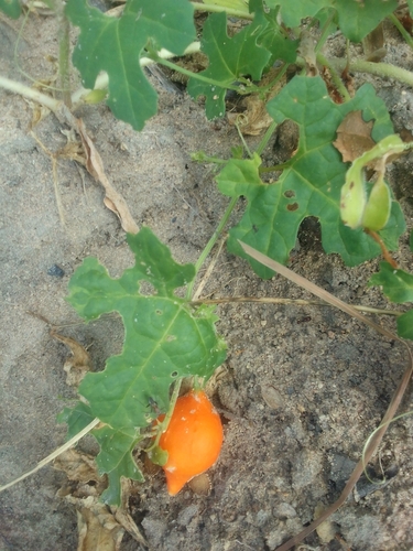
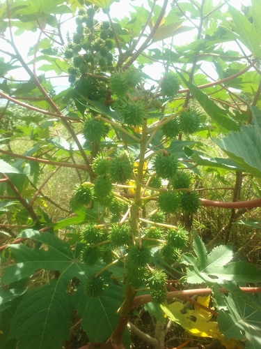
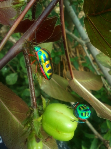
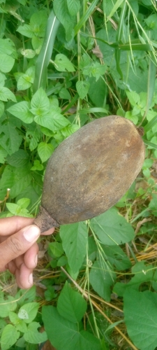
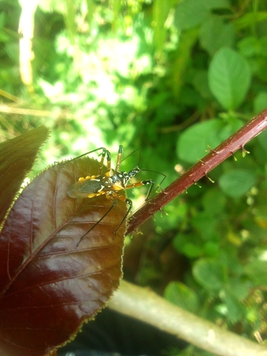
Research-grade observations from iNaturalist (within ~15 mi).
Events
Gallery
Geotagged photos within ~6 miles of Nacala, from Wikimedia Commons contributors.
 1.3 mi
 3 mi
3 mi 4.1 mi
.jpg) 4.7 mi
4.7 mi.jpg) 4.7 mi
4.7 mi 4.8 mi
 4.8 mi
.jpg) 4.8 mi
4.8 mi.jpg) 4.8 mi
4.8 mi.jpg) 4.8 mi
4.8 mi.jpg) 4.8 mi
4.8 mi.jpg) 4.8 mi
4.8 mi.jpg) 4.8 mi
4.8 mi.jpg) 4.8 mi
4.8 mi.jpg) 4.8 mi
4.8 mi.jpg) 4.8 mi
4.8 mi_(cropped).jpg) 4.8 mi
4.8 mi.jpg) 5.6 mi
5.6 mi.jpg) 5.6 mi
5.6 miPhotos via Wikimedia Commons — see each image page for license & attribution.
Sources
- • Wikipedia
- • Wikimedia Commons
- • Wikidata
- • Open-Meteo Air Quality (CAMS)
- • USGS Earthquake Catalog (global feed)
- • GBIF (Global Biodiversity Information Facility)
- • iNaturalist
- • Open-Meteo / sunrise-sunset.org
- • Wikipedia Pageviews API
- • Open Library