Browse / Mozambique / Mozambique / Namoro
Namoro
Mozambiquevillage
Demographic figures from INE Mozambique. Overview below cites Wikipedia and may reference a different year.
City facts
Overview
Set in Mozambique, Namoro is recorded in open geodata as a village. Coordinates of -12.665°, 39.019° situate Namoro in the tropical zone of the southern hemisphere. Detailed population figures are not currently catalogued in the open data sources we track. The latitude suggests warm temperatures throughout the year with pronounced wet and dry seasons. Open-data panels below dive into population trends, climate normals, environmental indicators and nearby places.
Summary composed automatically from structured open data on this page. See our Terms for details.
History & geography
Geography
Coordinates & boundaries from the US Census TIGER/Line shapefiles.
Climate
Air quality
Walkability
Amenities nearby
Wildlife & biodiversity
Earthquake history
Events from the USGS Earthquake Catalog (global) (FDSN Event Web Service).
Photos
Sights & places nearby
Notable people from here
Geography & sun
Nearby airports
Public attention
Books about this place
Recent natural events nearby
Ground air-quality sensors
Recently spotted species
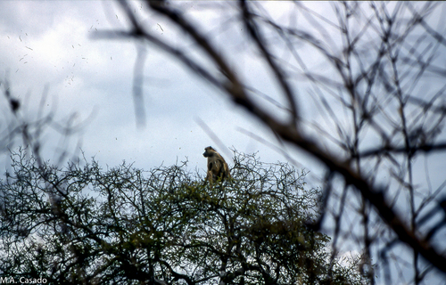
Research-grade observations from iNaturalist (within ~15 mi).
Events
Gallery
Sources
- • Wikidata
- • USGS Earthquake Catalog (global feed)
- • GBIF (Global Biodiversity Information Facility)
- • iNaturalist