Browse / Mozambique / Mozambique / Quelimane
Quelimane
Mozambiquecity

Quelimane
Total population
192,876
Founded
1942
Air quality index
Demographic figures from INE Mozambique. Overview below cites Wikipedia and may reference a different year.
City facts
Sister cities
Facts from Wikidata (CC0).
Overview
Quelimane is a seaport in Mozambique. It is the administrative capital of the Zambezia Province and the province's largest city, and stands 25 km (16 mi) from the mouth of the Rio dos Bons Sinais. The river was named when Vasco da Gama, on his way to India, reached it and saw "good signs" that he was on the right path. The town was the end point of David Livingstone's west-to-east crossing of south-central Africa in 1856. Portuguese is the official language of Mozambique, and many residents of the areas surrounding Quelimane speak Portuguese. The most common local language is Chuabo. Quelimane, along with much of Zambezia Province, is extremely prone to floods during Mozambique's rainy season.
Read more on WikipediaHistory & geography
History
The town originated as a Swahili trade centre, and then grew as a slave market of the Indian Ocean slave trade. Quelimane was founded by Muslim traders (see Kilwa Sultanate) and was one of the oldest towns in the region. The origins of the name 'Quelimane' are obscure. One tradition alleges that Vasco da Gama, in 1498, inquired about the name of the place from some inhabitants labouring in the fields outside the settlement. Thinking he was asking what they were doing, they simply replied kuliamani ('we are cultivating'). An alternative explanation is that when the Portuguese reached the settlement, they were welcomed by a notable Arab, or half Arab, who acted as interpreter between them and the natives. The name which the Portuguese applied to this individual, and his settlement, was 'Quelimane' (pronounced Kelimãn), because in the corrupt Arabic spoken on the East African coast 'Kalimãn' is the word for 'Interpreter'. In Swahili it is 'Mkalimani'. In 1761, the settlement became a town. Until 1853 trade was forbidden to any other than Portuguese. Sisal plantations were organized by Swiss planters in the beginning of the 20th century, namely Joseph Émile Stucky de Quay. The town started to grow and attracted several communities from different backgrounds, including Muslims and Indians, and new infrastructure was built by the Portuguese authorities. Its busy port had tea, grown and processed in the district of Zambézia (particularly important in the region around Gurúè, formerly Vila Junqueiro), as its major export. Coconut was also produced and processed in the city. By 1970, Quelimane had 71,786 inhabitants. Mozambique became independent from Portugal in 1975, after the April 1974 Carnation Revolution at Lisbon. Although its location on the Rio dos Bons Sinais is…
Excerpted from the corresponding Wikipedia article (CC BY-SA).
Geography
Coordinates & boundaries from the US Census TIGER/Line shapefiles.
Climate
Air quality
Current readings from Open-Meteo Air Quality API (Copernicus CAMS European reanalysis).
Walkability
Amenities nearby
Wildlife & biodiversity
Most-observed species
- House SparrowPasser domesticus (Linnaeus, 1758) · Aves6
- Christmas ButterflyPapilio demodocus Esper, 1798 · Insecta4
- Common BulbulPycnonotus barbatus (Desfontaines, 1789) · Aves4
- Madagascar periwinkle, Rose periwinkle, Rosy periwinkle, Cape periwinkle, Old-maid, Pink periwinkleCatharanthus roseus (L.) G.Don · Magnoliopsida4
- Snake plant, Mother-in-law's tongue, Viper's bowstring hemp, Snake Sansevieria, Bowstring hemp, Good luck plant, Mother-in-law's noseDracaena trifasciata (Prain) Mabb. · Liliopsida3
- Fornasini's Spiny Reed FrogAfrixalus fornasini (Bianconi, 1849) · Amphibia3
- PawpawCarica papaya L. · Magnoliopsida3
- Match Me If You CanAcalypha wilkesiana Müll.Arg. · Magnoliopsida3
Citizen-science & research observations from the Global Biodiversity Information Facility (GBIF).
Earthquake history
Events from the USGS Earthquake Catalog (global) (FDSN Event Web Service).
Photos
Sights & places nearby
Notable people from here
Nearby places in Mozambique
- Wanani598.6 mi away
- Mbachile مباشيلي598.6 mi away
- Hamavouna599.1 mi away
- Mboudajou مبوداجو599.5 mi away
- Bandamadji باندامادجي604.3 mi away
- Mnoungou617.2 mi away
- Douniani دونياني618.1 mi away
- Mbéni618.1 mi away
- Ouhozi أوهوزي619 mi away
- Buuni بوني619.5 mi away
- Itsandzéni إتساندزيني620 mi away
- Ouzio أوزيو622.7 mi away
Geography & sun
Nearby airports
Public attention
Books about this place
Recent natural events nearby
Ground air-quality sensors
Recently spotted species
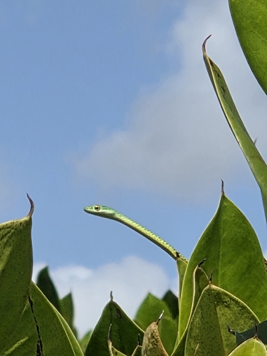
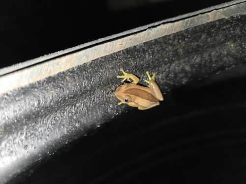
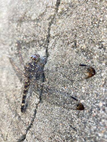
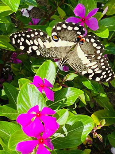
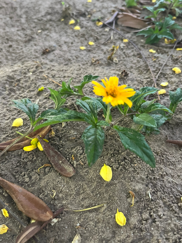
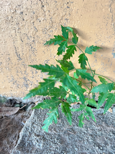
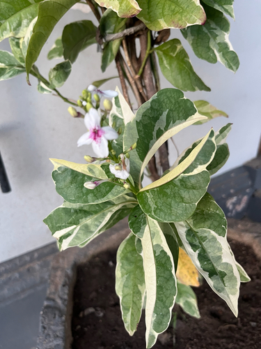
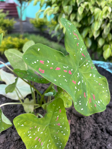
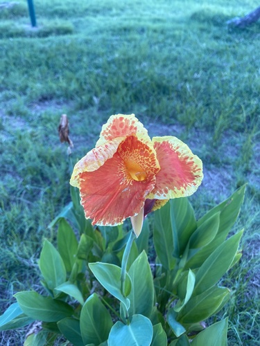
Research-grade observations from iNaturalist (within ~15 mi).
Events
Gallery
Sources
- • Wikipedia
- • Wikidata
- • Open-Meteo Air Quality (CAMS)
- • USGS Earthquake Catalog (global feed)
- • GBIF (Global Biodiversity Information Facility)
- • iNaturalist