Browse / Mozambique / Mozambique / Quionga
Quionga
Mozambiquevillage

Quionga
Demographic figures from INE Mozambique. Overview below cites Wikipedia and may reference a different year.
City facts
Overview
The Kionga Triangle was a small region of German East Africa situated at the mouth of the Ruvuma River. The Ruvuma served as the border between the German colony and Portuguese Mozambique, and the Kionga Triangle was the only section of German East Africa south of the river. Its principal settlement was Kionga which had a population of 4,000 in 1910. It became a German possession in 1894 but came under Portuguese control in April 1916 during World War I. The post-war Treaty of Versailles reaffirmed that the river was the border between Tanganyika, then under British control, and Portuguese Mozambique. The triangle was the only territory that the treaty awarded to Portugal.
Read more on WikipediaHistory & geography
Geography
Coordinates & boundaries from the US Census TIGER/Line shapefiles.
Climate
Air quality
Walkability
Amenities nearby
Wildlife & biodiversity
Earthquake history
Photos
Sights & places nearby
Notable people from here
Nearby places in Mozambique
- Ouhozi أوهوزي196.9 mi away
- Douniani دونياني197.6 mi away
- Bandamadji باندامادجي201.2 mi away
- Mbachile مباشيلي201.6 mi away
- Ouzio أوزيو202.2 mi away
- Mboudajou مبوداجو204.4 mi away
- Itsandzéni إتساندزيني204.8 mi away
- Mbéni205 mi away
- Mnoungou205.2 mi away
- Buuni بوني205.3 mi away
- Wanani253.5 mi away
- Hamavouna256.9 mi away
Geography & sun
Elevation, sunrise/sunset and daylight from Open-Meteo. Solar climatology from NASA POWER.
Nearby airports
Public attention
Pageview totals from the Wikimedia Pageviews API.
Books about this place
Recent natural events nearby
Ground air-quality sensors
Recently spotted species
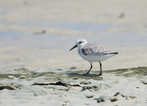
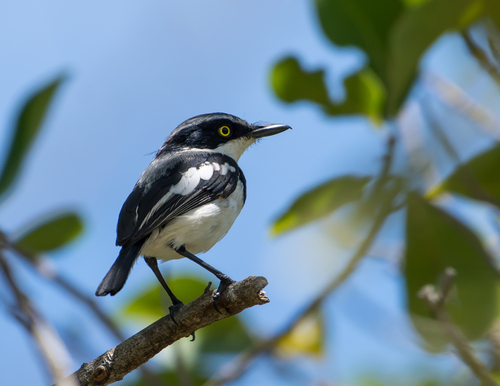
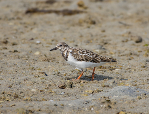
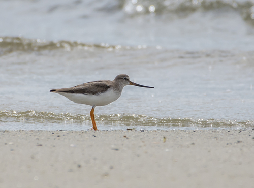
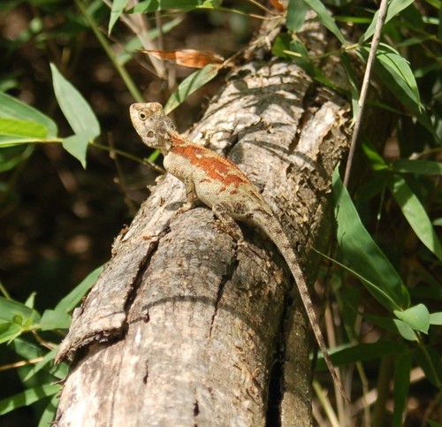
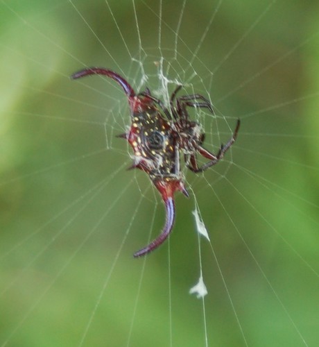
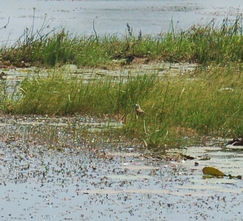
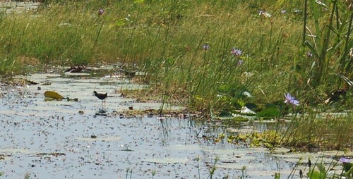
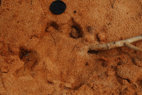
Research-grade observations from iNaturalist (within ~15 mi).
Events
Gallery
Sources
- • Wikipedia
- • iNaturalist
- • Open-Meteo / sunrise-sunset.org
- • Wikipedia Pageviews API