Browse / Namibia / Karas / Keetmanshoop
Keetmanshoop
Karastown

Keetmanshoop
Total population
20,977
Founded
1866
Demographic figures from Namibia Statistics Agency. Overview below cites Wikipedia and may reference a different year.
City facts
Facts from Wikidata (CC0).
Overview
Keetmanshoop is the administrative capital of the ǁKaras Region in southern Namibia. It is named after Johann Keetman, a German industrialist and benefactor of the Rhenish Mission in the town. Keetmanshoop had a population of 27,862 people in 2023.
Read more on WikipediaHistory & geography
Geography
Close to Keetmanshoop is the Naute Dam and the Neckartal Dam, the largest dam in the country. The town is situated near two quiver tree forests, one of them being a national monument and a major tourist attraction of Namibia. It is also close to the Giant's Playground, a natural geological feature formed about 180 million years ago that consists of dolerite rocks that look as if they were stacked by giants. Near Keetsmanshoop are notable localities for fossil Mesosaurus, an extinct genus of reptile from the Early Permian of southern Africa and South America. Keetmanshoop has a hot desert climate (Köppen climate classification BWh), with long, very hot summers and cool winters. The annual average rainfall is only . Keetmanshoop is one of the sunniest places year-round on the planet with a mean sunshine duration over 3,870 hours yearly or 10.7 hours of sunshine daily, well above 87% of the time. The annual mean temperature is 21.1 °C (70.0 °F) with a mean annual high of 28.8 °C (83.8 °F) and a low of 13.3 °C (55.9 °F). The climate is characterised by sunshine and dryness as well as moderate heat all year long.
Excerpted from the corresponding Wikipedia article (CC BY-SA).
Geography
Coordinates & boundaries from the US Census TIGER/Line shapefiles.
Climate
Air quality
Walkability
Amenities nearby
Wildlife & biodiversity
Most-observed species
- Social WeaverPhiletairus socius (Latham, 1790) · Aves59
- Laughing DoveSpilopelia senegalensis (Linnaeus, 1766) · Aves51
- Dusky SunbirdCinnyris fuscus Vieillot, 1819 · Aves47
- Pied BarbetTricholaema leucomelas (Boddaert, 1783) · Aves46
- Pale-winged StarlingOnychognathus nabouroup (Daudin, 1800) · Aves42
- Rosy-faced LovebirdAgapornis roseicollis (Vieillot, 1818) · Aves38
- House SparrowPasser domesticus (Linnaeus, 1758) · Aves37
- Rock MartinPtyonoprogne fuligula (Lichtenstein, 1842) · Aves35
Citizen-science & research observations from the Global Biodiversity Information Facility (GBIF).
Earthquake history
Events from the USGS Earthquake Catalog (global) (FDSN Event Web Service).
Photos
Sights & places nearby
Notable people from here
Nearby places in Karas
Geography & sun
Elevation, sunrise/sunset and daylight from Open-Meteo. Solar climatology from NASA POWER.
Nearby airports
Public attention
Pageview totals from the Wikimedia Pageviews API.
Books about this place
Recent natural events nearby
Ground air-quality sensors
Recently spotted species
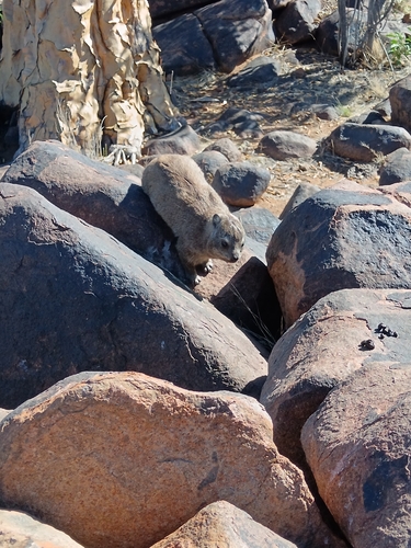
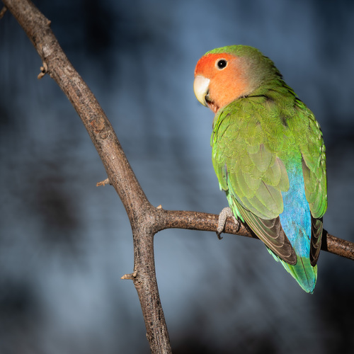
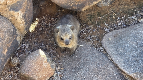
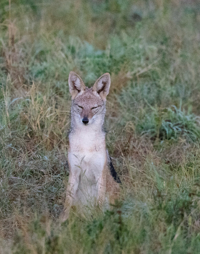
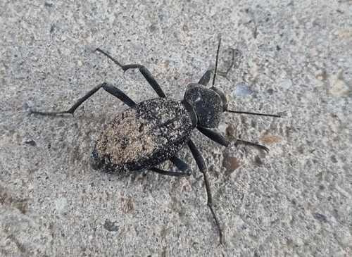
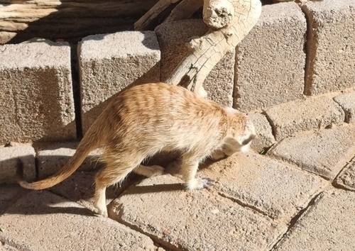
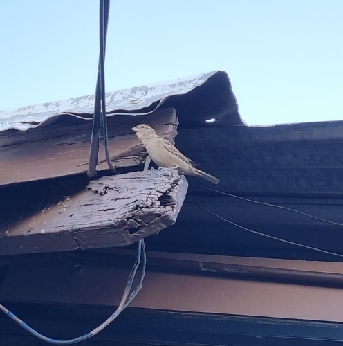
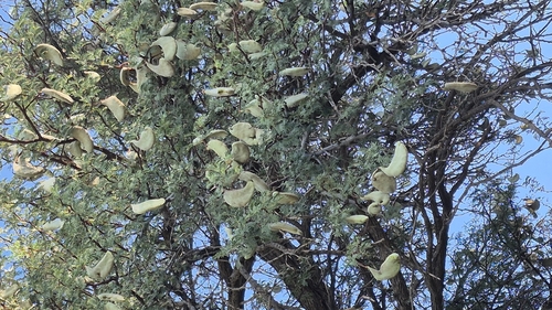
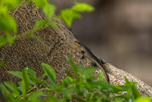
Research-grade observations from iNaturalist (within ~15 mi).
Events
Gallery
Sources
- • Wikipedia
- • Wikidata
- • USGS Earthquake Catalog (global feed)
- • GBIF (Global Biodiversity Information Facility)
- • iNaturalist
- • Open-Meteo / sunrise-sunset.org
- • Wikipedia Pageviews API