Browse / Namibia / Hardap / Maltahöhe
Maltahöhe
Hardapvillage

Maltahöhe
Demographic figures from Namibia Statistics Agency. Overview below cites Wikipedia and may reference a different year.
City facts
Overview
Maltahöhe is a village in southern central Namibia close to the Swartrand escarpment, about 110 km west of Mariental in the Hardap Region. It owns about 17,000 hectares of land and had 3,464 inhabitants in 2023. Maltahöhe is the administrative centre of Daweb Constituency.
Read more on WikipediaHistory & geography
History
Maltahöhe was established in 1899 by Henning von Burgsdorff, previously an officer in the German Schutztruppe, the military force of the Imperial German occupation. Burgsdorff named the place after his wife Malta (1860-1947). After the end of the German colonial era in South West Africa the settlement became a small hub for tourism, serving as gateway to popular destinations like the Sossusvlei, Solitaire, Sesriem, and Duwisib Castle. The Maltahöhe Hotel was founded in 1907 and is the oldest country hotel in Namibia.
Geography
Maltahöhe has two suburbs, the Andreville location and the Blikkiesdorp (literally ) informal settlement which has neither sewerage nor electricity supply.
Excerpted from the corresponding Wikipedia article (CC BY-SA).
Geography
Coordinates & boundaries from the US Census TIGER/Line shapefiles.
Climate
Air quality
Walkability
Amenities nearby
Wildlife & biodiversity
Earthquake history
Photos
Sights & places nearby
Notable people from here
People born within ~10 km, from Wikidata (CC0). Click any name for their Wikipedia article.
Nearby places in Hardap
Geography & sun
Elevation, sunrise/sunset and daylight from Open-Meteo. Solar climatology from NASA POWER.
Nearby airports
Public attention
Pageview totals from the Wikimedia Pageviews API.
Books about this place
Recent natural events nearby
Ground air-quality sensors
Recently spotted species
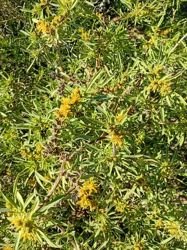
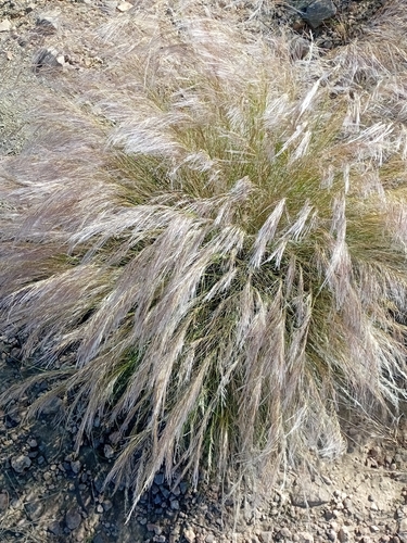
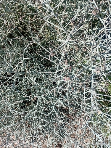
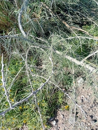
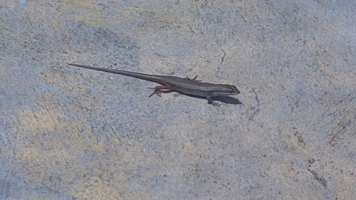
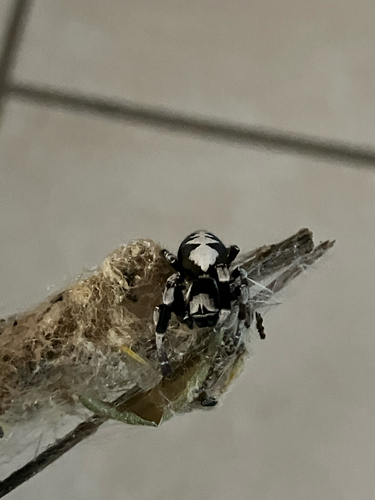
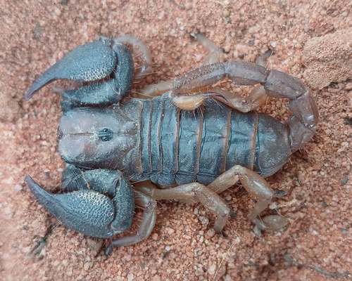
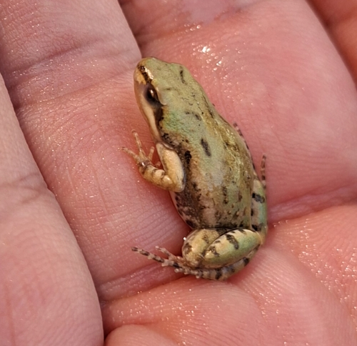
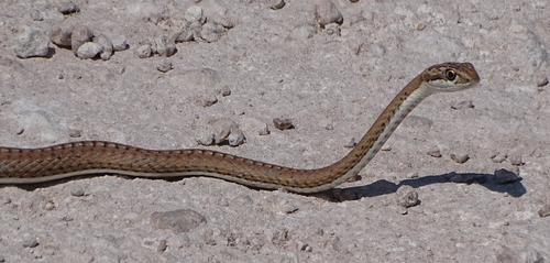
Research-grade observations from iNaturalist (within ~15 mi).
Events
Gallery
Sources
- • Wikipedia
- • Wikidata
- • iNaturalist
- • Open-Meteo / sunrise-sunset.org
- • Wikipedia Pageviews API