Browse / Namibia / Kunene / Opuwo
Opuwo
Kunenetown

Opuwo
Demographic figures from Namibia Statistics Agency. Overview below cites Wikipedia and may reference a different year.
City facts
Facts from Wikidata (CC0).
Overview
Opuwo is the capital of the Kunene Region in north-western Namibia. The town is situated about 720 km north-northwest of the capital Windhoek, and had a population of around 12,300 in 2023. It is the commercial hub of the Kunene Region.
Read more on WikipediaHistory & geography
History
The name Opuwo was given in the 1920s by the commissioner of Ondangwa, , the grandson of Carl Hugo Hahn, who came in search of land to build an office. Upon his arrival, he asked the local headman to give him land where he could build an office. The headman gave him a small plot, and when the headman tried to give him more land, Hahn responded, saying, "Ohopoho (it’s enough for me). I don't want any more land". The word Ohopoho was changed to Opuwo in 1974 due to orthographic reform. The residents of Opuwo called it Otjihinamaparero at the time, and some still call it that. The first office to be established in the Kaokoland area was the colonial administrative office in Swartbooisdrift on the banks of the Kunene River. This was the administrative centre of the area from 1925 to 1939. Afterwards, administrative control of the area shifted to Ohopoho, later called Opuwo. The police station in Swartbooisdrift was run by Sergeant Herbert, and he aimed to receive the Angola Boers who had trekked to Angola out of refusal to accept the British government in South Africa. Sergeant Basson took over the office at Swartbooisdrift and excavated Opuwo's first borehole. Basson had the nickname “Katjiriamakaja” (a person who eats tobacco).
Excerpted from the corresponding Wikipedia article (CC BY-SA).
Geography
Coordinates & boundaries from the US Census TIGER/Line shapefiles.
Climate
Air quality
Walkability
Amenities nearby
Wildlife & biodiversity
Earthquake history
Photos
Sights & places nearby
Notable people from here
People born within ~10 km, from Wikidata (CC0). Click any name for their Wikipedia article.
Nearby places in Kunene
- Okavare21.9 mi away
- Swartbooisdrift49.7 mi away · pop. 300
- Ekango50.6 mi away
- Otjozongombe53.6 mi away
- Sesfontein75.2 mi away
- Kamanjab127 mi away · pop. 7,000
- Otjikondo163.4 mi away
- Fransfontein167.6 mi away
- Geibigeb191.5 mi away
- Outjo207.6 mi away
- Žagariai5046.2 mi away · pop. 149
- Aukštasis Balbieriškis5049.6 mi away · pop. 13
Geography & sun
Elevation, sunrise/sunset and daylight from Open-Meteo. Solar climatology from NASA POWER.
Nearby airports
Public attention
Pageview totals from the Wikimedia Pageviews API.
Books about Opuwo
Search results from Open Library.
Recent natural events nearby
Ground air-quality sensors
Recently spotted species
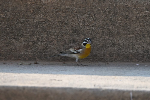
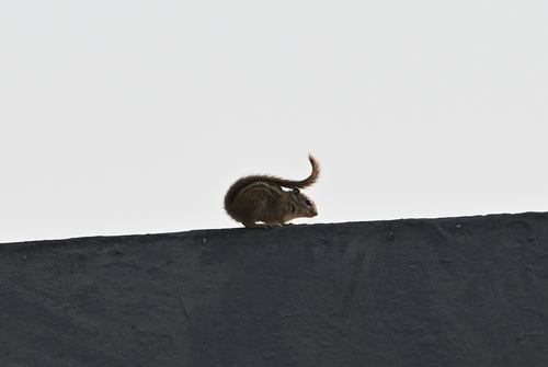
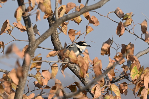
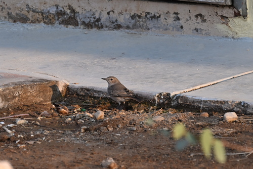
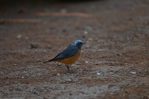
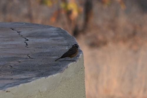
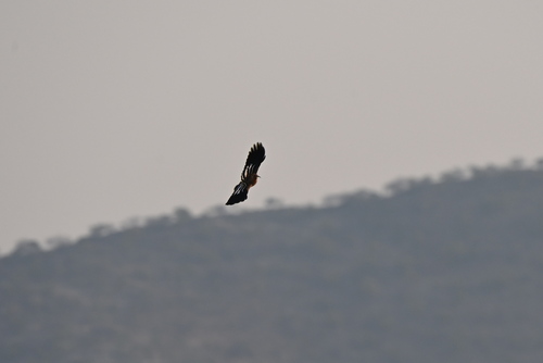
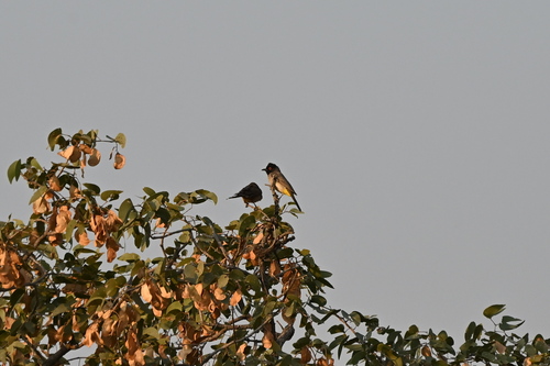
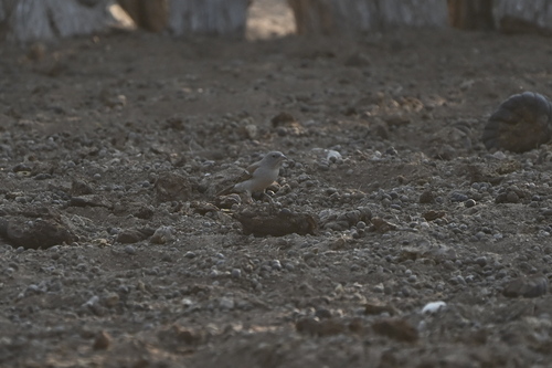
Research-grade observations from iNaturalist (within ~15 mi).
Events
Gallery
Sources
- • Wikipedia
- • Wikidata
- • iNaturalist
- • Open-Meteo / sunrise-sunset.org
- • Wikipedia Pageviews API
- • Open Library