Browse / Namibia / Omusati / Ruacana
Ruacana
Omusatitown

Ruacana
Air quality index
Demographic figures from Namibia Statistics Agency. Overview below cites Wikipedia and may reference a different year.
City facts
Overview
Ruacana is a town in the Omusati Region of northern Namibia and the district capital of the Ruacana electoral constituency. It is located on the border with Angola on the river Kunene. The town is known for the picturesque Ruacana Falls nearby, and for the Ruacana Power Station. Ruacana had a population of 5,939 people in 2023.
Read more on WikipediaHistory & geography
History
Ovazemba and Ovahimba people are native to the area. There are two theories for the origin of the name. Kaure reports that according to Ovazemba oral tradition, the name comes from a local leader named Ruhakana, while Olivier claims it is derived from , "hurrying waters". Ruacana was developed around the Ruacana Hydroelectric Power Station, a major underground hydroelectric plant linked to the nearby dam across the border in Angola at Calueque. In the early 1970s, 27 houses were built for employees of the South West Africa Water and Electricity Commission (now NamWater It was declared a settlement in 1999, granted local government as a village in 2005, and declared a town in 2010. The dam and pumping station were bombed in a Cuban airstrike in 1988, during the Angolan Civil War. The facility was partially repaired, and today NamPower operates three turbines producing a maximum of 240 megawatts.
Geography
The place receives annual average rainfall of , although in the 2010/2011 rainy season, of rain was measured.
Excerpted from the corresponding Wikipedia article (CC BY-SA).
Geography
Coordinates & boundaries from the US Census TIGER/Line shapefiles.
Climate
Air quality
Current readings from Open-Meteo Air Quality API (Copernicus CAMS European reanalysis).
Walkability
Amenities nearby
Wildlife & biodiversity
Most-observed species
- White-tailed ShrikeLanioturdus torquatus Waterhouse, 1838 · Aves61
- Fork-tailed DrongoDicrurus adsimilis (Bechstein, 1794) · Aves57
- Gray Go-away-birdCorythaixoides concolor (A.Smith, 1833) · Aves46
- Black-fronted BulbulPycnonotus nigricans (Vieillot, 1818) · Aves45
- Ring-necked DoveStreptopelia capicola (Sundevall, 1857) · Aves45
- Meves's StarlingLamprotornis mevesii (Wahlberg, 1856) · Aves41
- Cape StarlingLamprotornis nitens (Linnaeus, 1766) · Aves37
- Laughing DoveSpilopelia senegalensis (Linnaeus, 1766) · Aves37
Citizen-science & research observations from the Global Biodiversity Information Facility (GBIF).
Earthquake history
Events from the USGS Earthquake Catalog (global) (FDSN Event Web Service).
Photos
Sights & places nearby
Notable people from here
Nearby places in Omusati
Geography & sun
Elevation, sunrise/sunset and daylight from Open-Meteo. Solar climatology from NASA POWER.
Nearby airports
Public attention
Pageview totals from the Wikimedia Pageviews API.
Books about Ruacana
Search results from Open Library.
Recent natural events nearby
Ground air-quality sensors
Recently spotted species
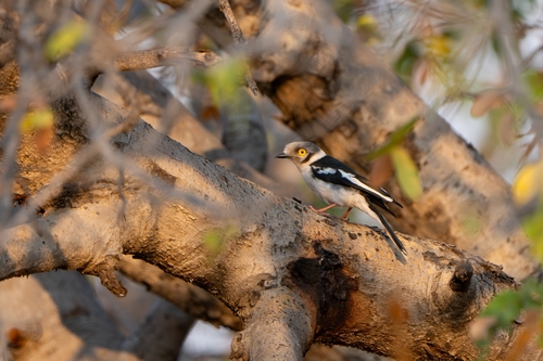
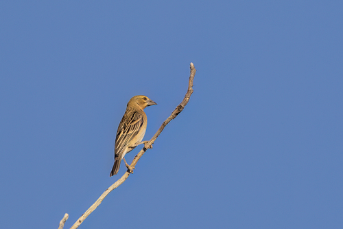
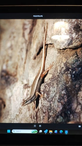
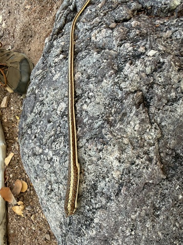
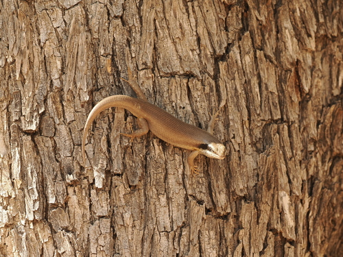
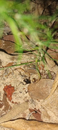
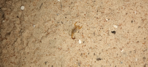
Research-grade observations from iNaturalist (within ~15 mi).
Events
Gallery
Sources
- • Wikipedia
- • Wikidata
- • Open-Meteo Air Quality (CAMS)
- • USGS Earthquake Catalog (global feed)
- • GBIF (Global Biodiversity Information Facility)
- • iNaturalist
- • Open-Meteo / sunrise-sunset.org
- • Wikipedia Pageviews API
- • Open Library