Browse / Namibia / Omusati / Tsandi
Tsandi
Omusativillage
Air quality index
Demographic figures from Namibia Statistics Agency. Overview below cites Wikipedia and may reference a different year.
City facts
Overview
Tsandi is a village in the Omusati Region of northern Namibia and the district capital of the Tsandi electoral constituency. It is a former mission station of the Finnish Missionary Society. Tsandi had a population of 2,595 people in 2023.
Read more on WikipediaHistory & geography
History
The Finnish missionaries, who arrived in Ovamboland in 1870, visited the west of the area towards the end of the following year, visiting e.g. Uukwaluudhi, but the visit to that tribe did not have any tangible results at the time. In 1909, the leadership of the Finnish Missionary Society in Finland considered that missionary work should be begun also in the west of Ovamboland, and in particular among the Uukwaluudhi tribe. The local head of the mission, Martti Rautanen, together with some of his colleagues, went in July and August 1909 to Uukwaluudhi to select a site for a new mission station. They chose a place called Tsandi, and a month later the missionary August Hänninen began the construction work at the site. The Finns came to the site at the invitation of King Iita, but he died already at the end of the same year. However, his successor Mwala Nashilongo was also friendly with the Finns, and likewise his people, too. They were not suspicious of the Finns, and the locals turned to them when they were ill. However, they did not show much interest to the preaching activities, and the local congregation consisted mainly of people who have moved there from Ondonga. The first local to be baptized in 1912 was an Uukwaluudhi man, and his three children were also baptized at the same time. The total number of people baptized on that day was 12. Hänninen soon noticed that conducting divine services and running a school outside, under a local tree, was difficult, so he encouraged his congregation members to build a proper church, built of bricks. Hänninen himself promised to acquire nails and other items and windows for the building, and teacher Aini Packalén promised to pay for the door, and the parish members made the bricks. Each man produced 500 bricks. The…
Geography
Tsandi is situated on the main road MR123 (Outapi - Tsandi - Okahao). It is the residential place of the Uukwaluudhi royal homestead. It is also the trade center for the whole constituency and one of the oldest villages in the Uukwaluudhi kingdom. Tsandi Lodge is away from the town in the direction of Outapi.
Excerpted from the corresponding Wikipedia article (CC BY-SA).
Geography
Coordinates & boundaries from the US Census TIGER/Line shapefiles.
Climate
Air quality
Current readings from Open-Meteo Air Quality API (Copernicus CAMS European reanalysis).
Walkability
Amenities nearby
Wildlife & biodiversity
Most-observed species
- Pied CrowCorvus albus Statius Muller, 1776 · Aves3
- Fork-tailed DrongoDicrurus adsimilis (Bechstein, 1794) · Aves3
- African Palm-SwiftCypsiurus parvus (M.H.K.Lichtenstein, 1823) · Aves2
- Cape StarlingLamprotornis nitens (Linnaeus, 1766) · Aves2
- White-tailed ShrikeLanioturdus torquatus Waterhouse, 1838 · Aves2
- Namaqua DoveOena capensis (Linnaeus, 1766) · Aves2
- Ring-necked DoveStreptopelia capicola (Sundevall, 1857) · Aves2
- Ceropegia floriparva BruynsCeropegia floriparva Bruyns · Magnoliopsida2
Citizen-science & research observations from the Global Biodiversity Information Facility (GBIF).
Earthquake history
Events from the USGS Earthquake Catalog (global) (FDSN Event Web Service).
Photos
Sights & places nearby
Notable people from here
Nearby places in Omusati
Geography & sun
Elevation, sunrise/sunset and daylight from Open-Meteo. Solar climatology from NASA POWER.
Nearby airports
Public attention
Pageview totals from the Wikimedia Pageviews API.
Books about this place
Recent natural events nearby
Ground air-quality sensors
Recently spotted species
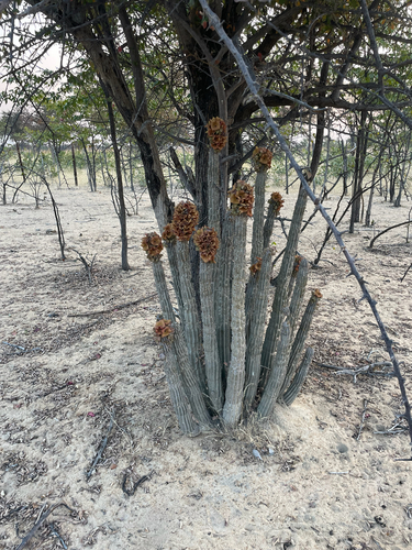
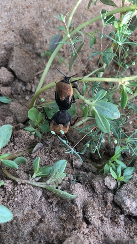
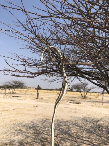
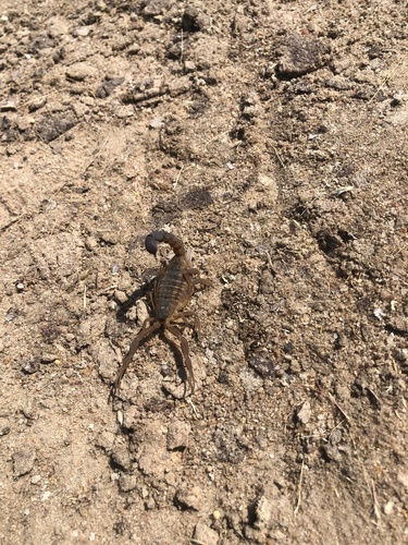
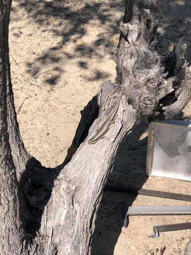
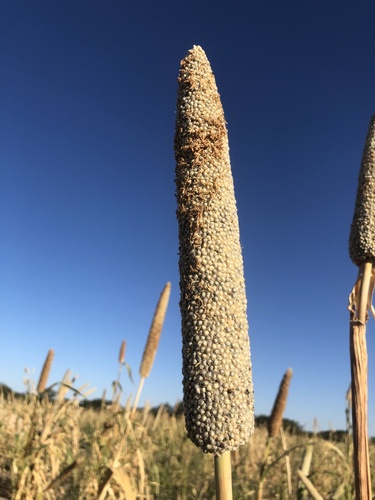
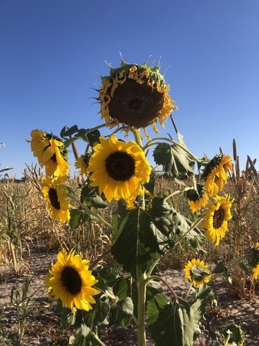
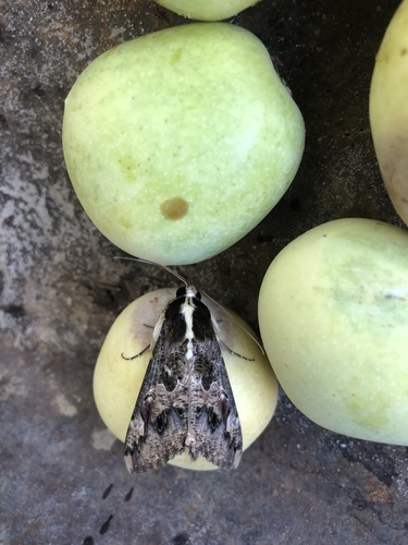
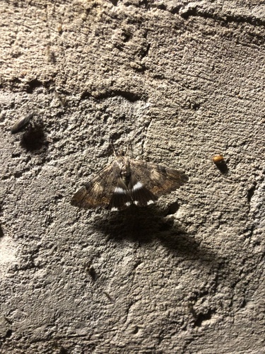
Research-grade observations from iNaturalist (within ~15 mi).
Events
Gallery
Sources
- • Wikipedia
- • Wikidata
- • Open-Meteo Air Quality (CAMS)
- • USGS Earthquake Catalog (global feed)
- • GBIF (Global Biodiversity Information Facility)
- • iNaturalist
- • Open-Elevation
- • Open-Meteo / sunrise-sunset.org
- • Wikipedia Pageviews API