Browse / United States / North Carolina / Asheville
Asheville
North Carolinacity

Asheville
Total population
94,983
Median home value
$500,400
Bachelor's+
Median income
$78,996
Founded
1797
Air quality index
Demographic figures from US Census Bureau · ACS 5-year estimates. Overview below cites Wikipedia and may reference a different year.
City facts
Sister cities
Facts from Wikidata (CC0).
Overview
Asheville is a city in Buncombe County, North Carolina, United States. Located at the confluence of the French Broad and Swannanoa rivers, it is the county seat of Buncombe County. It is the most populous city in Western North Carolina and the state's 11th-most populous city with a population of 94,589 at the 2020 census. The three-county Asheville metropolitan area has an estimated 422,000 residents.
Read more on WikipediaHistory & geography
History
Before the arrival of the European Colonists, the land where Asheville now exists lay within the boundaries of the Cherokee Nation, which had homelands in modern western North and South Carolina, southeastern Tennessee, and northeastern Georgia. A town at the site of the river confluence was recorded as Guaxule by Spanish explorer Hernando de Soto during his 1540 expedition through this area. His expedition comprised the first European visitors, who carried endemic Eurasian infectious diseases that killed much of the native population. The Cherokee had traditionally used the area by the confluence for open hunting and meeting grounds. They called it Untokiasdiyi or Tokiyasdi (ᏙᎩᏯᏍᏗ in Cherokee), meaning "Where they race", until the middle of the 19th century. European Americans began to settle in the area of Asheville in 1784, after the United States gained independence in the American Revolutionary War. In that year, Colonel Samuel Davidson and his family settled in the Swannanoa Valley, redeeming a soldier's land grant from the state of North Carolina made in lieu of pay. Soon after building a log cabin at the bank of Christian Creek, Davidson was lured into the woods and killed by a band of Cherokee hunters resisting white encroachment. Davidson's wife, child, and female slave fled on foot overnight to Davidson's Fort (named after Davidson's father General John Davidson) 16 miles away. In response to the killing, Davidson's twin brother Major William Davidson and brother-in-law Colonel Daniel Smith formed an expedition to retrieve Samuel Davidson's body and avenge his murder. Months after the expedition, Major Davidson and other members of his extended family returned to the area and settled at the mouth of Bee Tree Creek. The U.S. Census of 1790 counted 1,000…
Geography
Asheville is located in the Blue Ridge Mountains at the confluence of the Swannanoa River and the French Broad River. According to the United States Census Bureau, the city has a total area of , of which is land and (0.85%) is water. The area's summers in particular, though warm, are not as hot as summers in cities farther east in the state, as the July daily average temperature is and there is an average of only 9.4 afternoons with + highs annually;{{efn|The record number of annual readings is 32 in 1952, which would be lower than average in most cities in the southeast U.S. the record cold daily maximum is on February 4, 1895, while, conversely, the record warm daily minimum is on July 17, 1887. Snowfall is sporadic, averaging per winter season, but actual seasonal accumulation varies considerably from one winter to the next; accumulation has ranged from trace amounts in 2011–12 to in 1968–69. The month that usually experiences the most thunderstorms in Asheville is in July but number of days with thunderstorms in July has ranged from as many as 18 days in 2016 to as few as two days in 2008. * North – includes the neighborhoods of Albemarle Park, Beaverdam, Chestnut Hills, Colonial Heights, Five Points, Grove Park, Hillcrest, Kimberly, Klondyke, Montford, and Norwood Park. Chestnut Hill, Grove Park, Lakeview Park, Montford, and Norwood Park neighborhoods are listed in the National Register of Historic Places. Montford and Albemarle Park have been named local historic districts by the Asheville City Council. * East – includes the neighborhoods of Kenilworth, Beverly Hills, Chunn's Cove, Haw Creek, Oakley, Oteen, Reynolds, Riceville, and Town Mountain. * West – includes the neighborhoods of Camelot, Wilshire Park, Bear Creek, Deaverview Park, Emma, East-West…
Excerpted from the corresponding Wikipedia article (CC BY-SA).
Demographics & economy
Race & ethnicity
Source: US Census Bureau — American Community Survey, 5-year estimates.
Geography
Coordinates & boundaries from the US Census TIGER/Line shapefiles.
Climate
Current forecast
Forecast for Asheville, NC from NOAA NWS API.
Air quality
Current readings from Open-Meteo Air Quality API (Copernicus CAMS European reanalysis).
Industrial & pollution facilities
Natural hazard risk
Health (adults)
Age-adjusted prevalence estimates from CDC PLACES (latest release).
Walkability
Amenities nearby
Wildlife & biodiversity
Most-observed species
- Northern CardinalCardinalis cardinalis (Linnaeus, 1758) · Aves38,553
- American CrowCorvus brachyrhynchos C.L.Brehm, 1822 · Aves36,375
- Tufted TitmouseBaeolophus bicolor (Linnaeus, 1766) · Aves36,160
- Carolina WrenThryothorus ludovicianus (Latham, 1790) · Aves35,949
- Carolina ChickadeePoecile carolinensis (Audubon, 1834) · Aves35,336
- Eastern TowheePipilo erythrophthalmus (Linnaeus, 1758) · Aves31,641
- Blue JayCyanocitta cristata (Linnaeus, 1758) · Aves29,761
- Song SparrowMelospiza melodia (A.Wilson, 1810) · Aves27,334
Citizen-science & research observations from the Global Biodiversity Information Facility (GBIF).
Schools
Largest nearby schools
- Roberson HighHigh · Asheville · 1,491 students · 15.7:1 ratio
- IC ImagineOther · Asheville · 1,248 students · 13.1:1 ratio
- Asheville HighHigh · Asheville · 1,166 students · 14.2:1 ratio
- Reynolds HighHigh · Asheville · 1,133 students · 16.4:1 ratio
- Erwin HighHigh · Asheville · 1,096 students · 14.4:1 ratio
- Enka HighHigh · Candler · 1,045 students · 16.1:1 ratio
- Estes ElementaryElementary · Asheville · 732 students · 13.8:1 ratio
- The Franklin School of InnovationHigh · Asheville · 694 students · 13.6:1 ratio
Public K–12 schools within ~10 mi from Urban Institute Education Data Portal (NCES Common Core of Data, 2022).
Earthquake history
Most recent
- M 2.65 — 2026-03-2410 km SSW of Dillsboro, North Carolina
- M 2.73 — 2025-08-147 km N of Columbus, North Carolina
- M 2.51 — 2024-08-054 km SSE of Sevierville, Tennessee
- M 2.51 — 2023-11-047 km WSW of Bryson City, North Carolina
- M 3.24 — 2023-06-044 km NNW of West Canton, North Carolina
- M 2.76 — 2023-05-234 km N of West Canton, North Carolina
Events from the USGS Earthquake Catalog (global) (FDSN Event Web Service).
Photos
Sights & places nearby
Notable people from here


People born within ~10 km, from Wikidata (CC0). Click any name for their Wikipedia article.
Nearby places in North Carolina
- Biltmore Forest2.6 mi away · pop. 1,587
- Royal Pines7 mi away · pop. 4,325
- Avery Creek7.4 mi away
- Fairview9.1 mi away · pop. 2,298
- Black Mountain13 mi away · pop. 8,513
- Gerton13.1 mi away · pop. 110
- Montreat15.2 mi away · pop. 630
- Balfour15.5 mi away · pop. 1,134
- Barnardsville15.6 mi away
- Horse Shoe16.5 mi away · pop. 1,490
- Canton16.8 mi away · pop. 4,419
- Mars Hill17.8 mi away · pop. 3,025
Geography & sun
Elevation, sunrise/sunset and daylight from Open-Meteo. Solar climatology from NASA POWER.
Nearby airports
Public attention
Pageview totals from the Wikimedia Pageviews API.
Books about Asheville
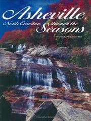

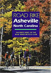
Search results from Open Library.
Recent natural events nearby
- Old Orangeburg Wildfire, Hampton, South CarolinaWildfires · 2026-04-17 · 210 mi
Wildfires, storms and other events from NASA EONET (last 12 months, within 250 mi).
Ground air-quality sensors
Recently spotted species

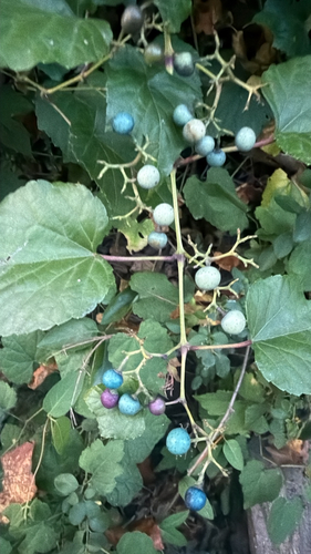
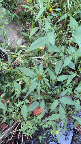
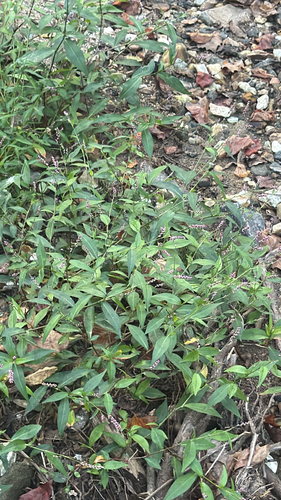
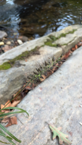
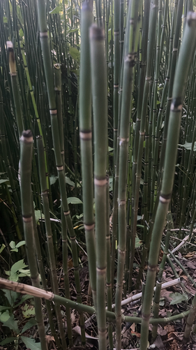

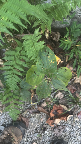
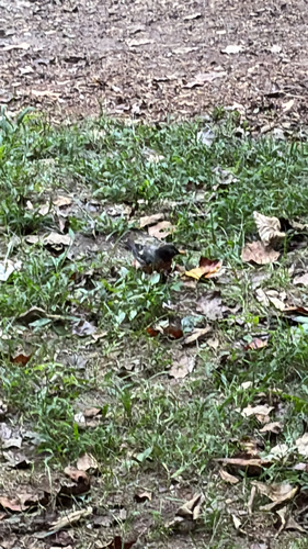
Research-grade observations from iNaturalist (within ~15 mi).
Nearest stream gauge
Live readings from USGS NWIS · measured 2026-06-27 21:00 UTC.
Events
Gallery
Geotagged photos within ~6 miles of Asheville, from Wikimedia Commons contributors.
 0.1 mi
 0.2 mi
_Picture_3.jpg) 0.2 mi
0.2 mi_Picture_1.jpg) 0.2 mi
0.2 mi_Picture_2.jpg) 0.2 mi
0.2 mi_Picture_4.jpg) 0.2 mi
0.2 mi 0.2 mi
 0.2 mi
 0.3 mi
 0.3 mi
 0.4 mi
 0.4 mi
 0.5 mi
 0.5 mi
 0.5 mi
 0.5 mi
 0.5 mi
 0.5 mi
 0.5 mi
 0.5 mi
 0.6 mi
 0.6 mi
 0.6 mi
 0.6 mi
Photos via Wikimedia Commons — see each image page for license & attribution.
Sources
- • Wikipedia
- • US Census Bureau (ACS 5-year estimates)
- • NOAA National Weather Service
- • Wikimedia Commons
- • Wikidata
- • Open-Meteo Air Quality (CAMS)
- • USGS Earthquake Catalog (global feed)
- • USGS NWIS (water data)
- • NCES via Urban Institute Education Data Portal
- • GBIF (Global Biodiversity Information Facility)
- • iNaturalist
- • CDC PLACES
- • Open-Elevation
- • Open-Meteo / sunrise-sunset.org
- • Wikipedia Pageviews API
- • Open Library
- • NASA EONET