Browse / United States / North Carolina / Canton
Canton
North Carolinatown

Canton
Total population
4,419
Median home value
$246,700
Bachelor's+
Median income
$69,924
Demographic figures from US Census Bureau · ACS 5-year estimates. Overview below cites Wikipedia and may reference a different year.
City facts
Overview
Canton is the second largest town in Haywood County, North Carolina, United States. It is located about 17 miles (27 km) west of Asheville and is part of that city's metropolitan area. The town is named after the city of Canton, Ohio. The population was 4,422 at the 2020 census.
Read more on WikipediaHistory & geography
History
This area was long settled by succeeding Indigenous cultures. What is known as the archeological Garden Creek site, listed on the National Register of Historic Places, is located on the south side of the Pigeon River, approximately seven miles west of Canton. It was inhabited from 8000 BCE by successive cultures of Indigenous peoples. Villages were developed in the Middle Woodland (200-600 CE) and The Southeast Appalachian Mississippian culture (1000 to 1450/1500 CE) periods. The Cherokee people are the most recent Native Americans to occupy this area, which is part of their homelands in the western Carolinas, southeastern Tennessee, and northeastern Georgia. The Cherokee in Western North Carolina are known as the Eastern Band of Cherokee Indians, a federally recognized tribe. The prehistoric peoples built a total of four earthwork mounds at the site. Three have been excavated, the last two platform mounds in the 1960s prior to residential development. European Americans did not begin to settle here until the late 1780s, following the American Revolutionary War, United States independence, and gaining cessions of land to the US by the Cherokee. By 1790, Jonathan McPeters was farming the banks of the Pigeon River at the site where Canton developed. Around 1815 the first church was built in what was to become Canton; it was called the Locust Old Field Baptist Church. "Old Field" often referred to areas cultivated or occupied by the Cherokee people, as this was known to be part of their traditional homelands. Canton was founded in 1889 as "Buford". Later that same year, the name was changed to "Vinson". The name was changed to "Pigeon Ford" in 1891, and to "Canton" in 1893. The town was named for Canton, Ohio, the source of the steel for the bridge that was built…
Geography
Canton is in east-central Haywood County, on both sides of the Pigeon River. U.S. Routes 19 and 23 pass through the center of town as Park Street and Main Street. The highways lead east to Asheville and west to Lake Junaluska. Interstate 40 passes through the northernmost part of Canton, with access from Exits 31 and 33. I-40 leads east to Asheville and northwest through the Pigeon River Gorge into Tennessee. According to the U.S. Census Bureau, the town of Canton has a total area of , all land.
Excerpted from the corresponding Wikipedia article (CC BY-SA).
Demographics & economy
Race & ethnicity
Source: US Census Bureau — American Community Survey, 5-year estimates.
Geography
Coordinates & boundaries from the US Census TIGER/Line shapefiles.
Climate
Current forecast
Forecast for Canton, NC from NOAA NWS API.
Air quality
Industrial & pollution facilities
Natural hazard risk
Health (adults)
Age-adjusted prevalence estimates from CDC PLACES (latest release).
Walkability
Amenities nearby
Wildlife & biodiversity
Most-observed species
- American CrowCorvus brachyrhynchos C.L.Brehm, 1822 · Aves9,313
- Eastern TowheePipilo erythrophthalmus (Linnaeus, 1758) · Aves8,091
- Carolina ChickadeePoecile carolinensis (Audubon, 1834) · Aves8,022
- Northern CardinalCardinalis cardinalis (Linnaeus, 1758) · Aves7,982
- Carolina WrenThryothorus ludovicianus (Latham, 1790) · Aves7,759
- Tufted TitmouseBaeolophus bicolor (Linnaeus, 1766) · Aves7,677
- Blue JayCyanocitta cristata (Linnaeus, 1758) · Aves7,166
- Song SparrowMelospiza melodia (A.Wilson, 1810) · Aves6,784
Citizen-science & research observations from the Global Biodiversity Information Facility (GBIF).
Schools
Largest nearby schools
- Pisgah HighHigh · Canton · 927 students · 16.3:1 ratio
- Tuscola HighHigh · Waynesville · 917 students · 15.8:1 ratio
- Waynesville MiddleMiddle · Waynesville · 720 students · 15:1 ratio
- Shining Rock Classical AcademyOther · Waynesville · 604 students · 12.9:1 ratio
- Bethel ElementaryElementary · Canton · 526 students · 14.6:1 ratio
- Clyde ElementaryElementary · Clyde · 526 students · 12.8:1 ratio
- Canton MiddleMiddle · Canton · 449 students · 13.6:1 ratio
- Junaluska ElementaryElementary · Waynesville · 447 students · 14.9:1 ratio
Public K–12 schools within ~10 mi from Urban Institute Education Data Portal (NCES Common Core of Data, 2022).
Earthquake history
Most recent
- M 2.65 — 2026-03-2410 km SSW of Dillsboro, North Carolina
- M 2.5 — 2025-08-196 km SE of Seymour, Tennessee
- M 2.73 — 2025-08-147 km N of Columbus, North Carolina
- M 2.51 — 2024-08-054 km SSE of Sevierville, Tennessee
- M 2.51 — 2023-11-047 km WSW of Bryson City, North Carolina
- M 3.24 — 2023-06-044 km NNW of West Canton, North Carolina
Events from the USGS Earthquake Catalog (global) (FDSN Event Web Service).
Photos
Sights & places nearby
Notable people from here


People born within ~10 km, from Wikidata (CC0). Click any name for their Wikipedia article.
Nearby places in North Carolina
- Lake Junaluska7 mi away
- Waynesville9.2 mi away · pop. 10,502
- Maggie Valley12.1 mi away
- Avery Creek16.4 mi away
- Biltmore Forest17.5 mi away · pop. 1,587
- Royal Pines19.9 mi away · pop. 4,325
- Horse Shoe21.5 mi away · pop. 1,490
- Balfour24 mi away · pop. 1,134
- Cullowhee24.5 mi away
- Hot Springs24.5 mi away · pop. 567
- Laurel Park25 mi away · pop. 2,408
- Fairview25.2 mi away · pop. 2,298
Geography & sun
Elevation, sunrise/sunset and daylight from Open-Meteo. Solar climatology from NASA POWER.
Nearby airports
Public attention
Pageview totals from the Wikimedia Pageviews API.
Books about Canton


![The First Baptist Church [of] Canton, North Carolina](https://covers.openlibrary.org/b/id/10042607-M.jpg)
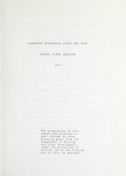
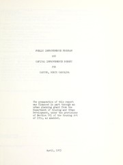



Search results from Open Library.
Recent natural events nearby
Ground air-quality sensors
Recently spotted species
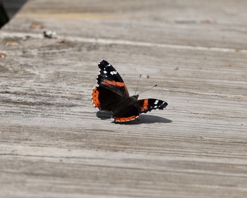
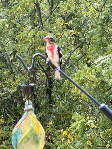
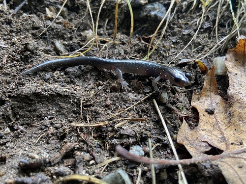
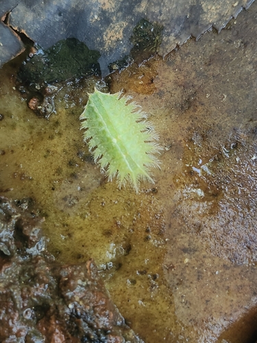


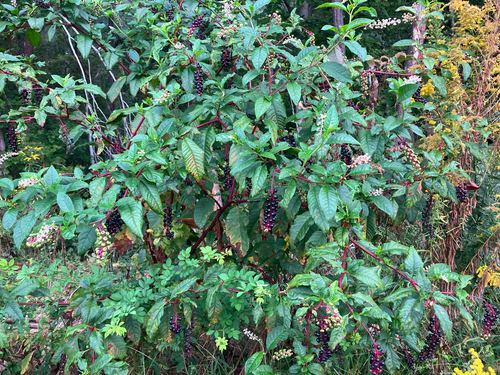

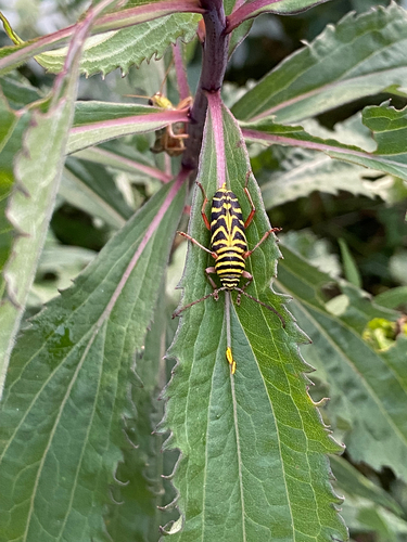
Research-grade observations from iNaturalist (within ~15 mi).
Nearest stream gauge
Events
Gallery
Sources
- • Wikipedia
- • US Census Bureau (ACS 5-year estimates)
- • NOAA National Weather Service
- • Wikidata
- • USGS Earthquake Catalog (global feed)
- • NCES via Urban Institute Education Data Portal
- • GBIF (Global Biodiversity Information Facility)
- • iNaturalist
- • CDC PLACES
- • Open-Meteo / sunrise-sunset.org
- • Wikipedia Pageviews API
- • Open Library