Browse / United States / North Carolina / Charlotte
Charlotte
North Carolinacity

Charlotte
Total population
943,474
Median home value
$431,900
Bachelor's+
Median income
$86,416
Founded
1768
Air quality index
Demographic figures from US Census Bureau · ACS 5-year estimates. Overview below cites Wikipedia and may reference a different year.
- Air Quality Alert · UnknownAir Quality Alert issued September 17 at 1:41AM EDT by NWS Greenville-Spartanburg SC
Source: NOAA National Weather Service.
City facts
Facts from Wikidata (CC0).
Overview
Charlotte is the most populous city in the U.S. state of North Carolina. With a population of 874,579 at the 2020 census, it is the 14th-most populous city in the U.S., seventh-most populous city in the South, and second-most populous city in the Southeast. The Charlotte metropolitan area, with an estimated 2.88 million residents, is the 21st-largest metropolitan area in the U.S. The Charlotte metropolitan area is part of an 18-county combined statistical area with an estimated population of 3.47 million as of 2024. It is the county seat of Mecklenburg County.
Read more on WikipediaHistory & geography
History
The Catawba Indians are the earliest known inhabitants of the Charlotte area. They were first encountered in the region in 1567 by the Spanish Conquistador Juan Pardo. The area that is now Charlotte was first settled by European colonists around 1755 when Thomas Spratt and his family settled near what is now the Elizabeth neighborhood. Thomas Polk (great-uncle of President James K. Polk), who later married Thomas Spratt's daughter, built his house by the intersection of two Native American trading paths between the Yadkin and Catawba rivers. One path ran north–south and was part of the Great Wagon Road; the second path ran east–west along what is now Trade Street. By 1759, half the Catawba tribe had died from smallpox, an endemic disease among European colonists, against which the Catawba had no natural immunity. At its peak, the Catawba population was 10,000. But by 1826, the Catawba population dropped to 110. The city of Charlotte was developed first by a wave of migration of Scots-Irish Presbyterians, or Ulster-Scot settlers from Ulster, who dominated the culture of the Southern Piedmont Region and made up the principal founding population in the backcountry. German immigrants also settled in the area before the American Revolutionary War, but in smaller numbers. They still contributed greatly to the early foundations of the region. Mecklenburg County was initially part of Bath County (1696 to 1729) of the New Hanover Precinct, which became New Hanover County in 1729. The western portion of New Hanover split into Bladen County in 1734, and its western portion split into Anson County in 1750. Mecklenburg County was formed from Anson County in 1762. Further apportionment was made in 1792, after the American Revolutionary War, with Cabarrus County formed from…
Geography
According to the United States Census Bureau, the city has a total area of , of which is land and (0.63%) is water. Uptown Charlotte sits atop a long rise between two creeks, Sugar Creek and Irwin Creek, and was built on the gunnies of the St. Catherine's and Rudisill gold mines. Charlotte is southwest of Concord; northeast of Rock Hill, South Carolina; southwest of Greensboro; west of Fayetteville; and southwest of Raleigh, the state capital. Though the Catawba River and its lakes lie several miles west, there are no significant bodies of water or other geological features near the city center. Consequently, development has neither been constrained nor helped by waterways or ports that have contributed to many cities of similar size. The lack of these obstructions has contributed to Charlotte's growth as a highway, rail, and air transportation hub. Charlotte has 199 neighborhoods radiating in all directions from Uptown. Biddleville, the primary historic center of Charlotte's African American community, is west of Uptown, starting at the Johnson C. Smith University campus and extending to the airport. East of The Plaza and north of Central Avenue, Plaza Midwood is known for its international population, including Eastern Europeans, Greeks, Middle-Easterners, and Hispanics. North Tryon and the Sugar Creek area include several Asian American communities. NoDa (North Davidson), north of Uptown, is an emerging center for arts and entertainment. Myers Park, Dilworth, and Eastover are home to some of Charlotte's most affluent, oldest and largest houses, on tree-lined boulevards, with Freedom Park nearby. The SouthPark area offers shopping, dining, and multifamily housing. Far South Boulevard is home to a large Hispanic community. Many students, researchers, and…
Excerpted from the corresponding Wikipedia article (CC BY-SA).
Demographics & economy
Race & ethnicity
Source: US Census Bureau — American Community Survey, 5-year estimates.
Geography
Coordinates & boundaries from the US Census TIGER/Line shapefiles.
Climate
10-year averages from ERA5 reanalysis (Open-Meteo).
Current forecast
Forecast for Charlotte, NC from NOAA NWS API.
Air quality
Current readings from Open-Meteo Air Quality API (Copernicus CAMS European reanalysis).
Industrial & pollution facilities
Natural hazard risk
Health (adults)
Age-adjusted prevalence estimates from CDC PLACES (latest release).
Walkability
Amenities nearby
Wildlife & biodiversity
Most-observed species
- Northern CardinalCardinalis cardinalis (Linnaeus, 1758) · Aves31,408
- Carolina WrenThryothorus ludovicianus (Latham, 1790) · Aves25,855
- Carolina ChickadeePoecile carolinensis (Audubon, 1834) · Aves20,532
- American RobinTurdus migratorius Linnaeus, 1766 · Aves20,160
- House FinchHaemorhous mexicanus (P.L.Statius Müller, 1776) · Aves20,044
- Eastern BluebirdSialia sialis (Linnaeus, 1758) · Aves18,916
- Downy WoodpeckerDryobates pubescens (Linnaeus, 1766) · Aves18,109
- Tufted TitmouseBaeolophus bicolor (Linnaeus, 1766) · Aves17,726
Citizen-science & research observations from the Global Biodiversity Information Facility (GBIF).
Schools
Largest nearby schools
- Myers Park High SchoolHigh · Charlotte · 3,593 students · 21.9:1 ratio
- South Mecklenburg High SchoolHigh · Charlotte · 3,344 students · 19.7:1 ratio
- East Mecklenburg High SchoolHigh · Charlotte · 2,409 students · 19.6:1 ratio
- Julius L. Chambers High SchoolHigh · Charlotte · 2,224 students · 20.8:1 ratio
- Providence High SchoolHigh · Charlotte · 2,048 students · 22:1 ratio
- Independence High SchoolHigh · Charlotte · 2,022 students · 17.6:1 ratio
- Butler High SchoolHigh · Matthews · 1,876 students · 18.9:1 ratio
- Olympic High SchoolHigh · Charlotte · 1,729 students · 19.6:1 ratio
Public K–12 schools within ~10 mi from Urban Institute Education Data Portal (NCES Common Core of Data, 2022).
Earthquake history
Most recent
- M 2.58 — 2015-11-1510 km S of Denton, North Carolina
- M 2.5 — 2010-10-282 km NW of Pacolet, South Carolina
Events from the USGS Earthquake Catalog (global) (FDSN Event Web Service).
Photos
Sights & places nearby
Notable people from here


People born within ~10 km, from Wikidata (CC0). Click any name for their Wikipedia article.
Nearby places in North Carolina
Geography & sun
Elevation, sunrise/sunset and daylight from Open-Meteo. Solar climatology from NASA POWER.
Nearby airports
Public attention
Pageview totals from the Wikimedia Pageviews API.
Books about Charlotte
![Charlotte, North Carolina City Directory [serial]](https://covers.openlibrary.org/b/id/11964464-M.jpg)


Search results from Open Library.
Recent natural events nearby
- Wildfire Main Trail, Chatham, GeorgiaWildfires · 2026-08-14 · 231 mi
Wildfires, storms and other events from NASA EONET (last 12 months, within 250 mi).
Ground air-quality sensors
Recently spotted species
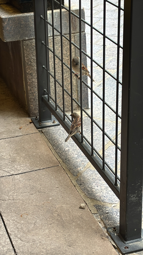


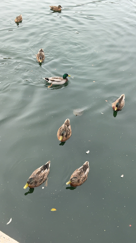
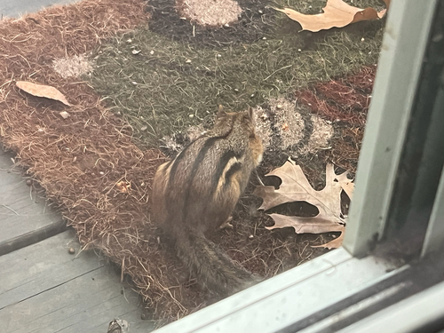
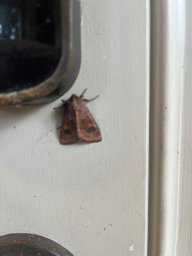
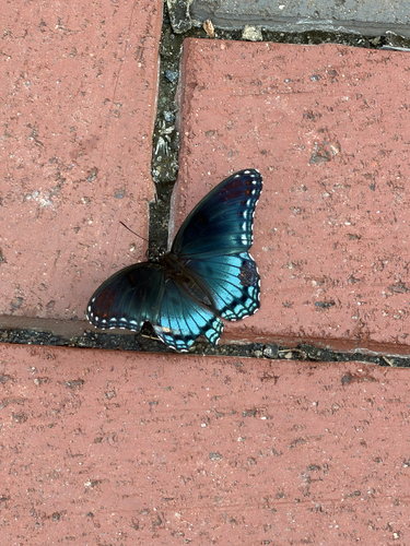
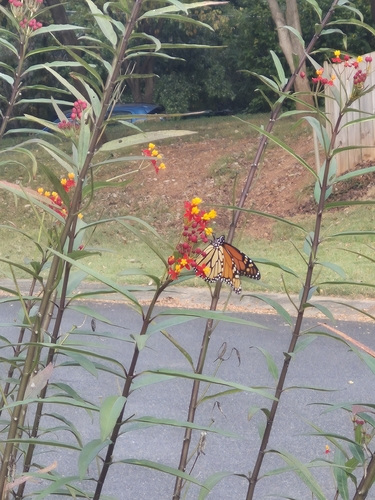
Research-grade observations from iNaturalist (within ~15 mi).
Nearest stream gauge
Live readings from USGS NWIS · measured 2026-07-04 16:20 UTC.
Events
Notable, recurring, and historical events associated with Charlotte, sourced from Wikidata.
Source: Wikidata (CC0).
Gallery
Geotagged photos within ~6 miles of Charlotte, from Wikimedia Commons contributors.
.png) 0.2 mi
0.2 mi 0.3 mi
 0.3 mi
.jpg) 0.3 mi
0.3 mi 0.3 mi
 0.3 mi
_(2).jpg) 0.4 mi
0.4 mi 0.4 mi
 0.4 mi
.jpg) 0.4 mi
0.4 mi.jpg) 0.4 mi
0.4 mi.jpg) 0.4 mi
0.4 mi.jpg) 0.4 mi
0.4 mi.jpg) 0.4 mi
0.4 mi.jpg) 0.4 mi
0.4 mi.jpg) 0.4 mi
0.4 mi.jpg) 0.4 mi
0.4 mi.jpg) 0.4 mi
0.4 mi.jpg) 0.4 mi
0.4 mi.jpg) 0.4 mi
0.4 mi.jpg) 0.4 mi
0.4 mi.jpg) 0.4 mi
0.4 mi.jpg) 0.4 mi
0.4 mi.jpg) 0.4 mi
0.4 miPhotos via Wikimedia Commons — see each image page for license & attribution.
Sources
- • Wikipedia
- • US Census Bureau (ACS 5-year estimates)
- • Open-Meteo (ERA5 reanalysis)
- • NOAA National Weather Service
- • Wikimedia Commons
- • Wikidata
- • Open-Meteo Air Quality (CAMS)
- • USGS Earthquake Catalog (global feed)
- • USGS NWIS (water data)
- • NCES via Urban Institute Education Data Portal
- • GBIF (Global Biodiversity Information Facility)
- • iNaturalist
- • CDC PLACES
- • Open-Elevation
- • Open-Meteo / sunrise-sunset.org
- • Wikipedia Pageviews API
- • Open Library
- • NASA EONET