Browse / United States / North Carolina / Erwin
Erwin
North Carolinatown

Erwin
Total population
4,687
Median home value
$161,100
Bachelor's+
Median income
$50,701
Demographic figures from US Census Bureau · ACS 5-year estimates. Overview below cites Wikipedia and may reference a different year.
City facts
Facts from Wikidata (CC0).
Overview
Erwin is a town that is located in the eastern part of Harnett County, North Carolina, United States, located approximately 5 miles (8.0 km) from Dunn and approximately 20 miles (32 km) from Fayetteville. The city is a part of the Dunn, NC Micropolitan Statistical Area, which is additionally a part of the greater Raleigh-Durham-Cary, NC CSA, according to the United States Census Bureau. Currently, the city has a population of 5,270 as of the 2020 census. Its current mayor is Randy Baker, who has been the mayor since being elected on May 17, 2022.
Read more on WikipediaHistory & geography
History
Prior to Erwin, there was a colonial-era settlement in the area known as "Averasboro". The Battle of Averasborough was fought nearby during the American Civil War. In 1902, the Duke family built the Erwin Cotton Mill, which closed on December 1, 2000, due to the North American Free Trade Agreement increasing the labor costs of the mill workers, leaving Swift Textiles to relocate the mill's operations to Mexico. The new town was named "Duke" after the founding shareholders. In 1925, the name was changed to "Erwin" because of the formation of Duke University in Durham, North Carolina. Oak Grove, Averasboro Battlefield Historic District, and Downtown Erwin are listed on the National Register of Historic Places. On 12 July 2026 around 9 PM local time, a vehicle struck one of the transmission towers that serves the town, leaving the town without electricity service for the entire night, carrying into the next day. Duke Energy had to replace the pole with a temporary power pole that will serve until a new permanent tower is installed. No people were injured during the incident, as it was caused by weather.
Geography
According to the United States Census Bureau, the town of Erwin has a total area of , of which , or 0.91%, are water. The Cape Fear River forms part of the western border of the town. Juniper Creek, a tributary to the Cape Fear River, enters in Erwin.
Excerpted from the corresponding Wikipedia article (CC BY-SA).
Demographics & economy
Race & ethnicity
Source: US Census Bureau — American Community Survey, 5-year estimates.
Geography
Coordinates & boundaries from the US Census TIGER/Line shapefiles.
Climate
Current forecast
Forecast for Erwin, NC from NOAA NWS API.
Air quality
Industrial & pollution facilities
Natural hazard risk
Health (adults)
Age-adjusted prevalence estimates from CDC PLACES (latest release).
Walkability
Amenities nearby
Wildlife & biodiversity
Schools
Largest nearby schools
- Triton HighHigh · Erwin · 1,287 students · 18.1:1 ratio
- Dunn ElementaryElementary · Dunn · 799 students · 12.9:1 ratio
- Coats ElementaryElementary · Coats · 671 students · 12.7:1 ratio
- Coats-Erwin MiddleMiddle · Dunn · 606 students · 17.8:1 ratio
- Erwin ElementaryElementary · Erwin · 562 students · 13.7:1 ratio
- Dunn MiddleMiddle · Dunn · 412 students · 13.3:1 ratio
- Buies Creek ElementaryElementary · Buies Creek · 232 students · 13.6:1 ratio
- Harnett Virtual AcademyOther · Lillington · 122 students
Public K–12 schools within ~10 mi from Urban Institute Education Data Portal (NCES Common Core of Data, 2022).
Earthquake history
Photos
Sights & places nearby
Notable people from here


People born within ~10 km, from Wikidata (CC0). Click any name for their Wikipedia article.
Geography & sun
Elevation, sunrise/sunset and daylight from Open-Meteo. Solar climatology from NASA POWER.
Nearby airports
Public attention
Pageview totals from the Wikimedia Pageviews API.
Books about Erwin

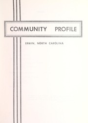


Search results from Open Library.
Recent natural events nearby
Ground air-quality sensors
Recently spotted species
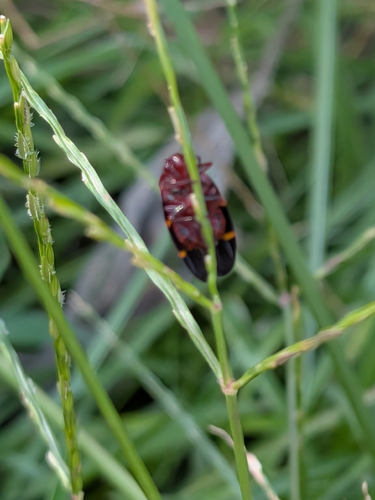
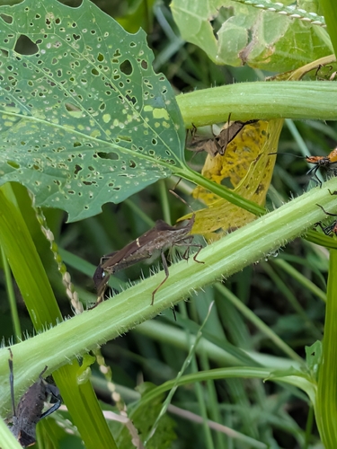
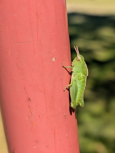
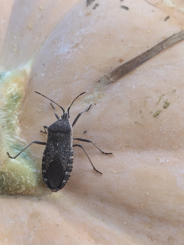
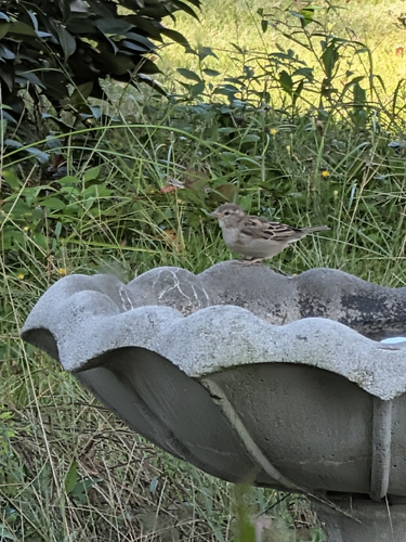
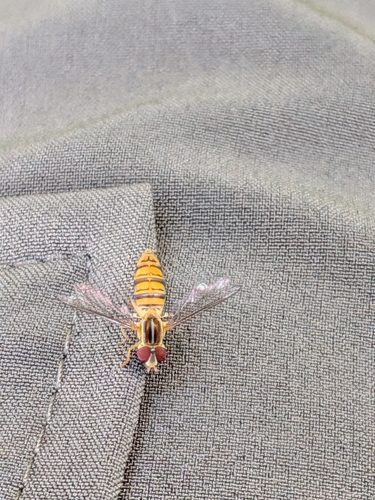
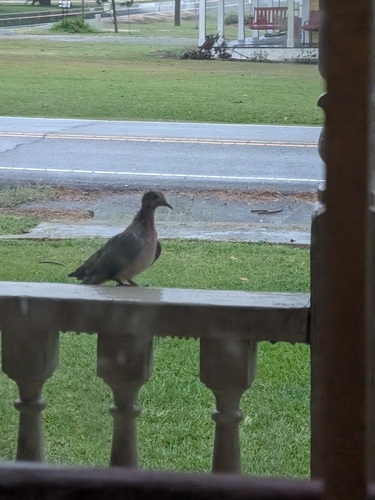
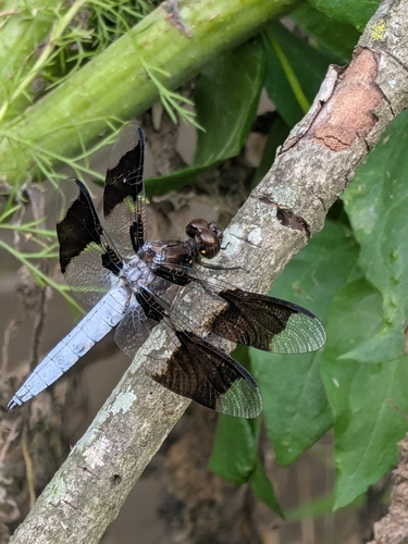
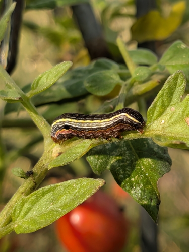
Research-grade observations from iNaturalist (within ~15 mi).
Nearest stream gauge
Events
Gallery
Sources
- • Wikipedia
- • US Census Bureau (ACS 5-year estimates)
- • NOAA National Weather Service
- • Wikidata
- • NCES via Urban Institute Education Data Portal
- • iNaturalist
- • CDC PLACES
- • Open-Meteo / sunrise-sunset.org
- • Wikipedia Pageviews API
- • Open Library