Browse / United States / North Carolina / Lenoir
Lenoir
North Carolinacity

Lenoir
Total population
18,299
Median home value
$179,400
Bachelor's+
Median income
$49,910
Founded
1841
Air quality index
Demographic figures from US Census Bureau · ACS 5-year estimates. Overview below cites Wikipedia and may reference a different year.
City facts
Facts from Wikidata (CC0).
Overview
Lenoir is a city in and the county seat of Caldwell County, North Carolina, United States. The population was 18,263 at the 2020 census. Lenoir is located in the foothills of the Blue Ridge Mountains. To the northeast are the Brushy Mountains, a spur of the Blue Ridge Mountains. Hibriten Mountain, located just east of the city limits, marks the western end of the Brushy Mountains range.
Read more on WikipediaHistory & geography
History
Lenoir was established in 1841 and incorporated in 1851. The city was named for Revolutionary War general and early North Carolina statesman William Lenoir, who settled north of present-day Lenoir. His restored home, Fort Defiance, is a tourist attraction. The original settlement of Lenoir was known as Tucker's Barn, after a Tucker family that settled on the north side of Lower Creek around 1765. The homestead eventually served as a voting precinct, a muster ground, a store, and a place for celebrations. When Caldwell County was formed in 1841, a commission was appointed to choose a location for the county seat. One member proposed the south side of Lower Creek (today, the Whitnel area) because of its view of the Blue Ridge Mountains. However, since most of the county's population was on the north side of Lower Creek, the Tucker's Barn site was chosen, where Lenoir is today. During Gen. Stonemans final raid in 1865 during the American Civil War, he passed through Lenoir on March 28 and again on April 15. On March 29, 1865, a small skirmish took place near Lenoir. Along with this; multiple Civil War companies were formed with soldiers from Lenoir and Caldwell County. These companies served in various different regiments within the Confederate States Army. There were also Southern Unionists who supported the Union within Caldwell County, with local Confederate deserters and resisters joining with them as the war went on. Following the Civil War, Clinton A. Cilley, a Union Army Medal of Honor recipient, would settle in Lenoir. He worked as a lawyer, eventually becoming a civic leader, judge, and elected as Mayor of Lenoir. In addition to Fort Defiance, the Caldwell County Courthouse, Lenoir Downtown Historic District, Lenoir Grammar School, Lenoir High School, Mary's…
Geography
Lenoir is southeast of the center of Caldwell County, and is bordered to the south by the towns of Hudson and Cajah's Mountain, and to the southwest by the town of Gamewell. The city is at the intersection of U.S. Highways 64 and 321. US 64 leads east to Statesville and southwest to Morganton, while US 321 leads north to Boone and southeast to Hickory. According to the United States Census Bureau, Lenoir has a total area of , all land. The city is in the valley of Lower Creek, between the Brushy Mountains to the east and the Blue Ridge Mountains to the west. Lower Creek flows southwest to the Catawba River valley. Lenoir has a humid subtropical climate (Köppen climate classification Cfa), with cool to mild winters and warm, humid summers. Due to the city's proximity to the Blue Ridge Mountains, temperatures tend to be slightly cooler than areas to the east. -->
Excerpted from the corresponding Wikipedia article (CC BY-SA).
Demographics & economy
Race & ethnicity
Source: US Census Bureau — American Community Survey, 5-year estimates.
Geography
Coordinates & boundaries from the US Census TIGER/Line shapefiles.
Climate
Air quality
Current readings from Open-Meteo Air Quality API (Copernicus CAMS European reanalysis).
Industrial & pollution facilities
Natural hazard risk
Health (adults)
Age-adjusted prevalence estimates from CDC PLACES (latest release).
Walkability
Amenities nearby
Wildlife & biodiversity
Most-observed species
- Northern CardinalCardinalis cardinalis (Linnaeus, 1758) · Aves2,700
- Carolina WrenThryothorus ludovicianus (Latham, 1790) · Aves2,311
- American CrowCorvus brachyrhynchos C.L.Brehm, 1822 · Aves2,159
- Tufted TitmouseBaeolophus bicolor (Linnaeus, 1766) · Aves2,111
- Carolina ChickadeePoecile carolinensis (Audubon, 1834) · Aves1,886
- Eastern BluebirdSialia sialis (Linnaeus, 1758) · Aves1,712
- Red-bellied WoodpeckerMelanerpes carolinus (Linnaeus, 1758) · Aves1,430
- Blue JayCyanocitta cristata (Linnaeus, 1758) · Aves1,411
Citizen-science & research observations from the Global Biodiversity Information Facility (GBIF).
Schools
Earthquake history
Most recent
- M 2.73 — 2025-08-147 km N of Columbus, North Carolina
- M 2.59 — 2022-10-25Virginia-North Carolina border region
- M 2.56 — 2021-11-219 km SSW of Abingdon, Virginia
- M 2.65 — 2021-08-176 km N of Morganton, North Carolina
- M 2.79 — 2021-02-128 km SW of Banner Hill, Tennessee
- M 2.56 — 2021-02-041 km SSW of Sparta, North Carolina
Events from the USGS Earthquake Catalog (global) (FDSN Event Web Service).
Photos
Sights & places nearby
Notable people from here


People born within ~10 km, from Wikidata (CC0). Click any name for their Wikipedia article.
Geography & sun
Elevation, sunrise/sunset and daylight from Open-Meteo. Solar climatology from NASA POWER.
Nearby airports
Public attention
Pageview totals from the Wikimedia Pageviews API.
Books about Lenoir


Search results from Open Library.
Recent natural events nearby
Ground air-quality sensors
Recently spotted species
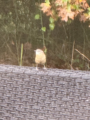


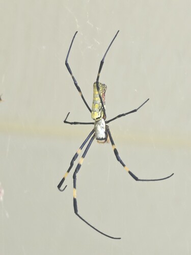
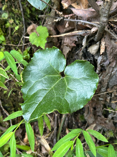
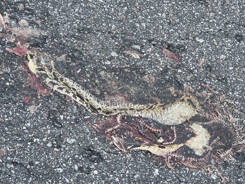

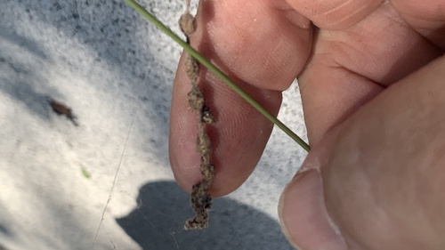
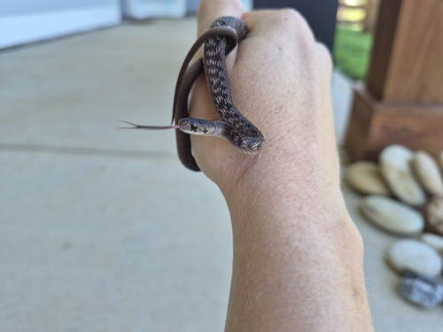
Research-grade observations from iNaturalist (within ~15 mi).
Nearest stream gauge
Events
Gallery
Sources
- • Wikipedia
- • US Census Bureau (ACS 5-year estimates)
- • Wikidata
- • Open-Meteo Air Quality (CAMS)
- • USGS Earthquake Catalog (global feed)
- • GBIF (Global Biodiversity Information Facility)
- • iNaturalist
- • CDC PLACES
- • Open-Meteo / sunrise-sunset.org
- • Wikipedia Pageviews API
- • Open Library