Browse / United States / North Carolina / Mooresville
Mooresville
North Carolinatown

Mooresville
Total population
52,381
Median home value
$390,900
Bachelor's+
Median income
$89,647
Demographic figures from US Census Bureau · ACS 5-year estimates. Overview below cites Wikipedia and may reference a different year.
City facts
Sister cities
Facts from Wikidata (CC0).
Overview
Mooresville is a town located in the southwestern section of Iredell County, North Carolina, United States, and is a part of the Charlotte metropolitan area. The population was 50,193 at the 2020 census, making it the most populous municipality in Iredell County. It is located approximately 25 miles (40 km) north of Charlotte.
Read more on WikipediaHistory & geography
History
The area that would develop into the town of Mooresville was originally settled by English, German, and Scots-Irish families who moved into the area from nearby Rowan County, as well as from Virginia, Pennsylvania, and elsewhere. Many were seeking new lands on which to establish farms. Many of the early families such as the Wilsons, Davidsons, Cowans, Sherrills, Torrances, and others came to the area as early as the mid-1700s. They formed small communities that eventually grew into the community known as "Deep Well", which took its name from a large natural well that was found in the area. Many of these families established large farms, primarily of cotton, which grew into small plantations by the 1850s. Major Rufus Reid was the most prominent planter in the area, enslaving 81 African Americans on over of land. His property was known as Mount Mourne Plantation, named after the Mourne Mountains of County Down in Northern Ireland. Several other historic plantation homes are set in the area as well, including the Johnson-Neel House, the Cornelius House, Forest Dell Plantation, and the colonial era Belmont Plantation. In 1856, a railroad was placed on a ridge that crossed the land of a local farmer by the name of John Franklin Moore. A small-scale planter, Moore set up a depot on his land, and encouraged others to help establish a small village on the location in the late 1850s. The little village, known as "Moore's Siding", was born. The Civil War hampered developments, with the railroad tracks being removed to aid the Confederate efforts in Virginia. After the war, the tracks were returned, and Moore's Siding slowly began to prosper. Shortly after the Civil War, John Franklin Moore saw the need for the village to incorporate into a town. The town was incorporated as…
Geography
Mooresville is located in southern Iredell County. Interstate 77 passes through the western side of the town, with access from Exits 31 through 36. I-77 leads south to the South Carolina border and north to the Virginia line. Statesville, just to the north, is the county seat. Lake Norman, on the Catawba River, is west of the town center. Mooresville is located north of Charlotte and south of Statesville. According to the United States Census Bureau, Mooresville has a total area of , of which are land and , or 0.24%, are water.
Excerpted from the corresponding Wikipedia article (CC BY-SA).
Demographics & economy
Race & ethnicity
Source: US Census Bureau — American Community Survey, 5-year estimates.
Geography
Coordinates & boundaries from the US Census TIGER/Line shapefiles.
Climate
Current forecast
Forecast for Mooresville, NC from NOAA NWS API.
Air quality
Industrial & pollution facilities
Natural hazard risk
Health (adults)
Age-adjusted prevalence estimates from CDC PLACES (latest release).
Walkability
Amenities nearby
Wildlife & biodiversity
Most-observed species
- Northern CardinalCardinalis cardinalis (Linnaeus, 1758) · Aves6,468
- Carolina WrenThryothorus ludovicianus (Latham, 1790) · Aves5,253
- Carolina ChickadeePoecile carolinensis (Audubon, 1834) · Aves4,831
- Tufted TitmouseBaeolophus bicolor (Linnaeus, 1766) · Aves4,208
- House FinchHaemorhous mexicanus (P.L.Statius Müller, 1776) · Aves4,077
- Eastern BluebirdSialia sialis (Linnaeus, 1758) · Aves4,062
- Mourning DoveZenaida macroura (Linnaeus, 1758) · Aves3,882
- American CrowCorvus brachyrhynchos C.L.Brehm, 1822 · Aves3,714
Citizen-science & research observations from the Global Biodiversity Information Facility (GBIF).
Schools
Largest nearby schools
- Lake Norman HighHigh · Mooresville · 1,986 students · 23.4:1 ratio
- Mooresville High SchoolHigh · Mooresville · 1,969 students · 18.8:1 ratio
- Pine Lake PreparatoryOther · Mooresville · 1,879 students · 16.8:1 ratio
- Langtree Charter AcademyOther · Mooresville · 1,531 students · 16.3:1 ratio
- Mooresville MiddleMiddle · Mooresville · 933 students · 17.9:1 ratio
- Shepherd ElementaryElementary · Mooresville · 711 students · 16.2:1 ratio
- Troutman ElementaryElementary · Troutman · 698 students · 14.9:1 ratio
- Coddle Creek ElementaryElementary · Mooresville · 696 students · 15.5:1 ratio
Public K–12 schools within ~10 mi from Urban Institute Education Data Portal (NCES Common Core of Data, 2022).
Earthquake history
Most recent
- M 2.65 — 2021-08-176 km N of Morganton, North Carolina
- M 2.5 — 2019-03-268 km E of Archdale, North Carolina
- M 2.68 — 2018-06-102 km NE of Hays, North Carolina
- M 2.58 — 2015-11-1510 km S of Denton, North Carolina
- M 3 — 2014-12-1513 km NNW of Cedar Rock, North Carolina
- M 2.5 — 2014-06-124 km NE of Blowing Rock, North Carolina
Events from the USGS Earthquake Catalog (global) (FDSN Event Web Service).
Photos
Sights & places nearby
Notable people from here


People born within ~10 km, from Wikidata (CC0). Click any name for their Wikipedia article.
Nearby places in North Carolina
Geography & sun
Elevation, sunrise/sunset and daylight from Open-Meteo. Solar climatology from NASA POWER.
Nearby airports
Public attention
Pageview totals from the Wikimedia Pageviews API.
Books about Mooresville



Search results from Open Library.
Recent natural events nearby
- Hurricane IsaiasSevere Storms · 2026-10-11 · 220 mi
Wildfires, storms and other events from NASA EONET (last 12 months, within 250 mi).
Ground air-quality sensors
Recently spotted species
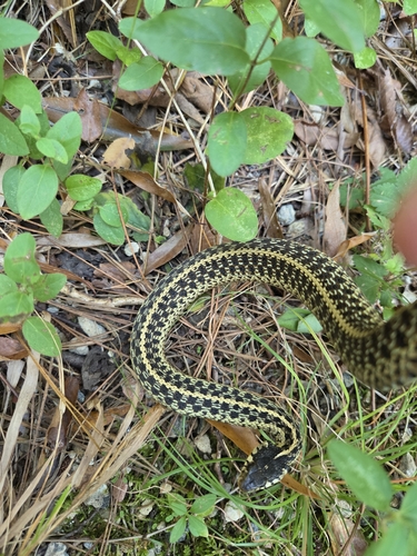
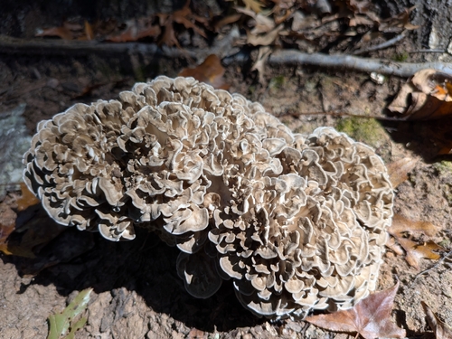
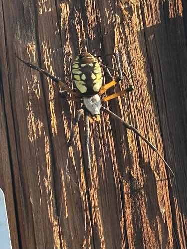
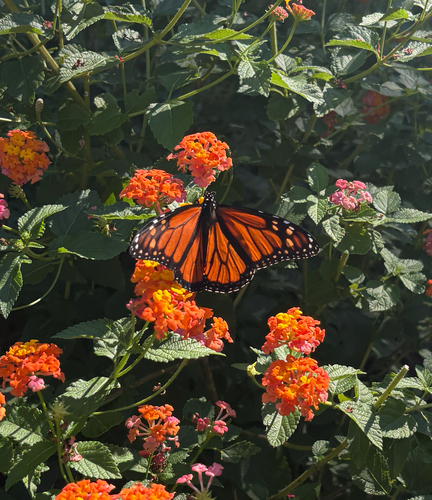
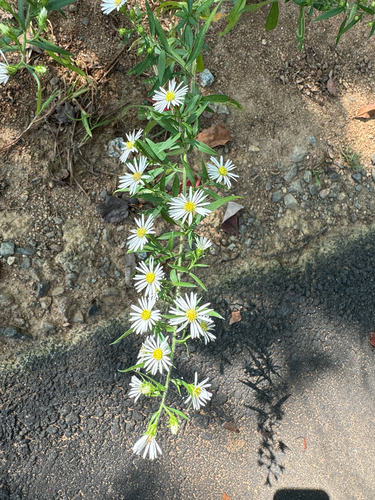
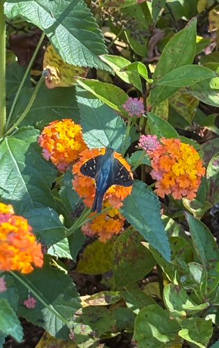
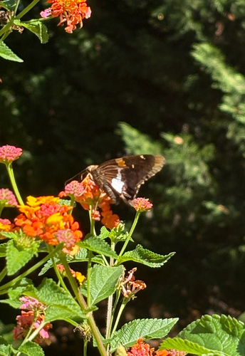
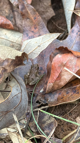
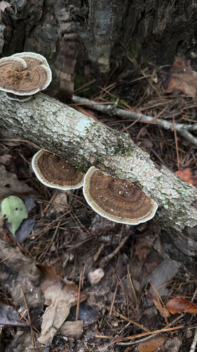
Research-grade observations from iNaturalist (within ~15 mi).
Nearest stream gauge
Live readings from USGS NWIS · measured 2026-09-17 03:00 UTC.
Events
Gallery
Sources
- • Wikipedia
- • US Census Bureau (ACS 5-year estimates)
- • NOAA National Weather Service
- • Wikidata
- • USGS Earthquake Catalog (global feed)
- • USGS NWIS (water data)
- • NCES via Urban Institute Education Data Portal
- • GBIF (Global Biodiversity Information Facility)
- • iNaturalist
- • CDC PLACES
- • Open-Meteo / sunrise-sunset.org
- • Wikipedia Pageviews API
- • Open Library
- • NASA EONET